South Point Topo Map Louisiana
To zoom in, hover over the map of South Point
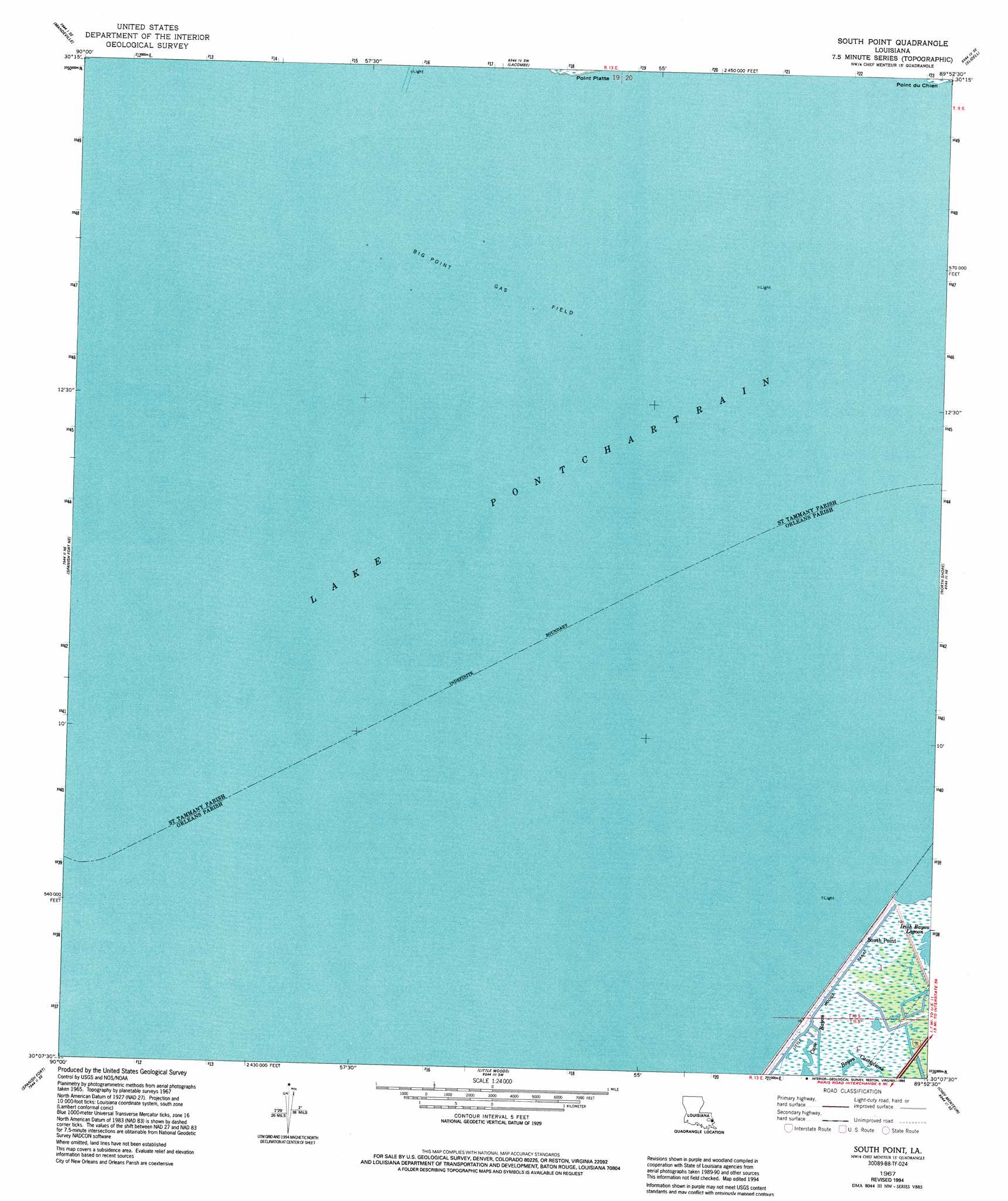
USGS Topo Quad 30089b8 - 1:24,000 scale
| Topo Map Name: | South Point |
| USGS Topo Quad ID: | 30089b8 |
| Print Size: | ca. 21 1/4" wide x 27" high |
| Southeast Coordinates: | 30.125° N latitude / 89.875° W longitude |
| Map Center Coordinates: | 30.1875° N latitude / 89.9375° W longitude |
| U.S. State: | LA |
| Filename: | o30089b8.jpg |
| Download Map JPG Image: | South Point topo map 1:24,000 scale |
| Map Type: | Topographic |
| Topo Series: | 7.5´ |
| Map Scale: | 1:24,000 |
| Source of Map Images: | United States Geological Survey (USGS) |
| Alternate Map Versions: |
South Point LA 1951, updated 1952 Download PDF Buy paper map South Point LA 1967, updated 1968 Download PDF Buy paper map South Point LA 1967, updated 1980 Download PDF Buy paper map South Point LA 1967, updated 1994 Download PDF Buy paper map South Point LA 2012 Download PDF Buy paper map South Point LA 2015 Download PDF Buy paper map |
1:24,000 Topo Quads surrounding South Point
Madisonville |
Covington |
Saint Tammany |
Hickory |
Nicholson |
Covington Sw |
Mandeville |
Lacombe |
Slidell |
Haaswood |
Spanish Fort Ne |
South Point |
North Shore |
Rigolets |
|
Indian Beach |
Spanish Fort |
Little Woods |
Chef Menteur |
Alligator Point |
New Orleans West |
New Orleans East |
Chalmette |
Martello Castle |
Proctor Point |
> Back to 30089a1 at 1:100,000 scale
> Back to 30088a1 at 1:250,000 scale
> Back to U.S. Topo Maps home
South Point topo map: Gazetteer
South Point: Capes
Point Platte elevation 0m 0′South Point: Guts
Bayou Castiglione elevation 0m 0′South Point: Oilfields
Big Point Gas Field elevation -1m -4′South Point: Populated Places
South Point elevation 2m 6′South Point digital topo map on disk
Buy this South Point topo map showing relief, roads, GPS coordinates and other geographical features, as a high-resolution digital map file on DVD:
Gulf Coast (LA, MS, AL, FL) & Southwestern Georgia
Buy digital topo maps: Gulf Coast (LA, MS, AL, FL) & Southwestern Georgia
 & Southwestern Georgia map DVD")