Scotlandville Topo Map Louisiana
To zoom in, hover over the map of Scotlandville
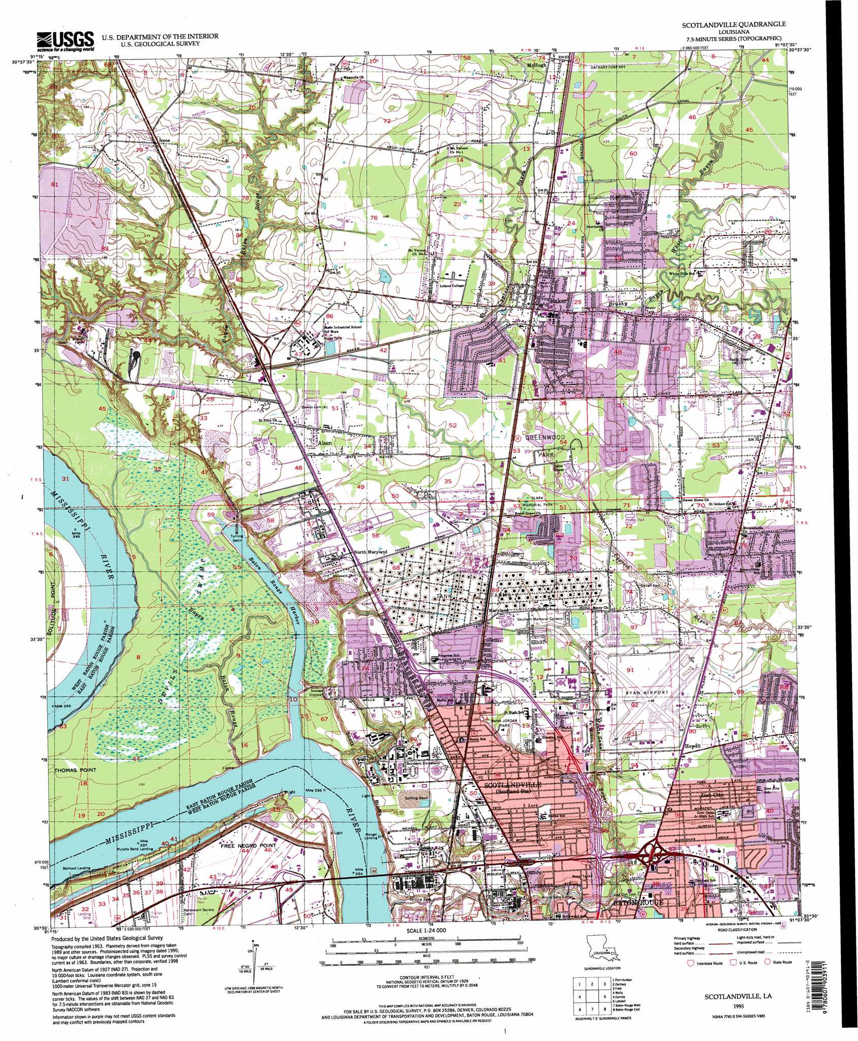
USGS Topo Quad 30091e2 - 1:24,000 scale
| Topo Map Name: | Scotlandville |
| USGS Topo Quad ID: | 30091e2 |
| Print Size: | ca. 21 1/4" wide x 27" high |
| Southeast Coordinates: | 30.5° N latitude / 91.125° W longitude |
| Map Center Coordinates: | 30.5625° N latitude / 91.1875° W longitude |
| U.S. State: | LA |
| Filename: | o30091e2.jpg |
| Download Map JPG Image: | Scotlandville topo map 1:24,000 scale |
| Map Type: | Topographic |
| Topo Series: | 7.5´ |
| Map Scale: | 1:24,000 |
| Source of Map Images: | United States Geological Survey (USGS) |
| Alternate Map Versions: |
Scotlandville LA 1954, updated 1955 Download PDF Buy paper map Scotlandville LA 1963, updated 1964 Download PDF Buy paper map Scotlandville LA 1963, updated 1970 Download PDF Buy paper map Scotlandville LA 1963, updated 1972 Download PDF Buy paper map Scotlandville LA 1963, updated 1981 Download PDF Buy paper map Scotlandville LA 1963, updated 1994 Download PDF Buy paper map Scotlandville LA 1995, updated 1998 Download PDF Buy paper map Scotlandville LA 2012 Download PDF Buy paper map Scotlandville LA 2015 Download PDF Buy paper map |
1:24,000 Topo Quads surrounding Scotlandville
Saint Francisville |
Elm Park |
Jackson |
Clinton |
Bluff Creek |
New Roads |
Port Hudson |
Zachary |
Fred |
Pride |
Erwinville |
Walls |
Scotlandville |
Comite |
Watson |
Grosse Tete |
Lobdell |
Baton Rouge West |
Baton Rouge East |
Denham Springs |
Grosse Tete Sw |
Addis |
Plaquemine |
Saint Gabriel |
Prairieville |
> Back to 30091e1 at 1:100,000 scale
> Back to 30090a1 at 1:250,000 scale
> Back to U.S. Topo Maps home
Scotlandville topo map: Gazetteer
Scotlandville: Airports
Baton Rouge Metropolitan Airport elevation 21m 68′La Coste Construction Company Airport elevation 8m 26′
Scotlandville: Basins
Free Negro Point Crevasse elevation 7m 22′Scotlandville: Bends
Mulatto Bend elevation 5m 16′Springfield Bend elevation 5m 16′
Scotlandville: Canals
Baker Canal elevation 18m 59′South Canal elevation 23m 75′
Scotlandville: Capes
Free Negro Point elevation 8m 26′Scotlandville: Cliffs
Scott Bluffs elevation 5m 16′Scotlandville: Crossings
Interchange 5 elevation 17m 55′Interchange 6 elevation 17m 55′
Interchange 8 elevation 19m 62′
Scotlandville: Harbors
Baton Rouge Harbor elevation 5m 16′Scotlandville: Levees
Springfield Bend Revetment elevation 5m 16′Scotlandville: Parks
Alsen Park elevation 21m 68′Anna Jordan Park elevation 17m 55′
Baker Park elevation 24m 78′
Baton Rouge Zoo elevation 20m 65′
Chamberland Park elevation 25m 82′
Clark Memorial Park elevation 20m 65′
Greenwood Park elevation 21m 68′
Harding Park elevation 25m 82′
Jefferson Park elevation 24m 78′
Monte Sano Park elevation 16m 52′
Myrtle Park elevation 22m 72′
Tristian Park elevation 22m 72′
Scotlandville: Populated Places
Airline Terrace elevation 18m 59′Alsen elevation 22m 72′
Alsen Heights elevation 20m 65′
Baker elevation 24m 78′
Baker Estates elevation 23m 75′
Baker Hills elevation 24m 78′
Bakerfield elevation 22m 72′
Beechwood elevation 19m 62′
Belmont Landing elevation 5m 16′
Bethany Cooperative Community elevation 20m 65′
Bolwood Acres elevation 21m 68′
Brentwood Place elevation 21m 68′
Brownsfield elevation 20m 65′
Buffwood elevation 24m 78′
Cedar Glen elevation 18m 59′
Crestworth elevation 21m 68′
Cunnard Place elevation 21m 68′
Cypress Heights elevation 21m 68′
Ellen Place elevation 18m 59′
Elm Grove Garden elevation 20m 65′
Engleswood elevation 18m 59′
Feliciana elevation 20m 65′
Fortune elevation 19m 62′
Gibbens Place elevation 18m 59′
Glen Oaks elevation 17m 55′
Golden Ridge elevation 21m 68′
Harding Heights elevation 21m 68′
Harding Terrace elevation 22m 72′
Highland Farms elevation 20m 65′
Holiday Acres elevation 19m 62′
Howell elevation 20m 65′
Howell Community Farms elevation 20m 65′
Irene elevation 25m 82′
Jenkins Pryce Place elevation 20m 65′
Jordan Terrace elevation 18m 59′
Kings Estates elevation 21m 68′
Kingston Estates elevation 20m 65′
Liberty Farms elevation 20m 65′
Lincoln Heights elevation 22m 72′
Loudon elevation 18m 59′
Maryland elevation 21m 68′
Maryland Heights elevation 22m 72′
McClure Place elevation 22m 72′
McHugh elevation 23m 75′
Mengel Landing elevation 5m 16′
Monte Sano Trailer Park elevation 18m 59′
Monterey elevation 19m 62′
Moreco elevation 19m 62′
Mulatto Bend Landing elevation 5m 16′
North Baker Park elevation 25m 82′
North Maryland elevation 22m 72′
Park Manor elevation 18m 59′
Park Vista elevation 21m 68′
Parkridge elevation 22m 72′
Parkwood Terrace elevation 23m 75′
Petite Place elevation 22m 72′
Rolling Acres elevation 21m 68′
Saint Pius Place elevation 19m 62′
Scotland elevation 19m 62′
Scotlandville elevation 18m 59′
Sharon Hills elevation 19m 62′
Southern Heights elevation 19m 62′
Timberlane elevation 19m 62′
Tolbert Place elevation 18m 59′
Tristian Village elevation 23m 75′
University Place elevation 19m 62′
White Hills elevation 23m 75′
Woodaire elevation 19m 62′
Wyatt Subdivision elevation 25m 82′
Zion City elevation 19m 62′
Scotlandville: Post Offices
Baker Post Office elevation 23m 75′Scotlandville Post Office elevation 19m 62′
Zion City Post Office (historical) elevation 20m 65′
Scotlandville: Reservoirs
Devils Swamp Lake elevation 8m 26′Scotlandville: Streams
Bayou Baton Rouge elevation 5m 16′Brushy Bayou elevation 21m 68′
Monte Sano Bayou elevation 8m 26′
Scotlandville: Swamps
Devils Swamp elevation 8m 26′Scotlandville digital topo map on disk
Buy this Scotlandville topo map showing relief, roads, GPS coordinates and other geographical features, as a high-resolution digital map file on DVD: