Hurricane Branch Topo Map Louisiana
To zoom in, hover over the map of Hurricane Branch
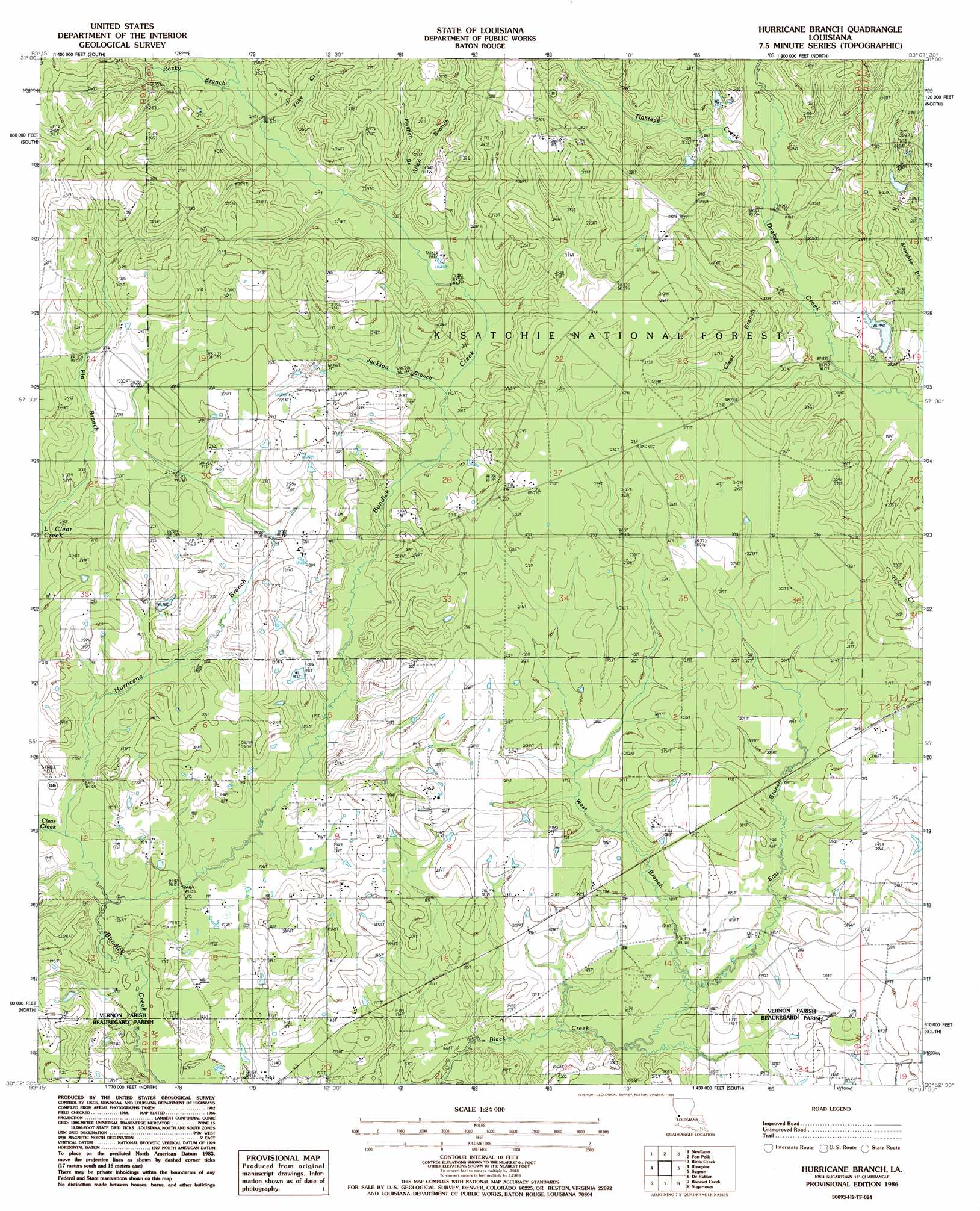
USGS Topo Quad 30093h2 - 1:24,000 scale
| Topo Map Name: | Hurricane Branch |
| USGS Topo Quad ID: | 30093h2 |
| Print Size: | ca. 21 1/4" wide x 27" high |
| Southeast Coordinates: | 30.875° N latitude / 93.125° W longitude |
| Map Center Coordinates: | 30.9375° N latitude / 93.1875° W longitude |
| U.S. State: | LA |
| Filename: | o30093h2.jpg |
| Download Map JPG Image: | Hurricane Branch topo map 1:24,000 scale |
| Map Type: | Topographic |
| Topo Series: | 7.5´ |
| Map Scale: | 1:24,000 |
| Source of Map Images: | United States Geological Survey (USGS) |
| Alternate Map Versions: |
Hurricane Branch LA 1986, updated 1986 Download PDF Buy paper map Hurricane Branch LA 2003, updated 2005 Download PDF Buy paper map Hurricane Branch LA 2012 Download PDF Buy paper map Hurricane Branch LA 2015 Download PDF Buy paper map |
| FStopo: | US Forest Service topo Hurricane Branch is available: Download FStopo PDF Download FStopo TIF |
1:24,000 Topo Quads surrounding Hurricane Branch
Little Sandy Creek |
Leesville |
Slagle |
Simpson South |
Lacamp |
Burr Ferry |
Newllano |
Fort Polk |
Birds Creek |
Fullerton Lake |
Knight |
Rose Pine |
Hurricane Branch |
Sugrue |
Pitkin |
Neale |
De Ridder |
Boneset Creek |
Sugartown |
Grant |
Singer |
Mach Branch |
Redhead Branch |
Dry Creek |
Mittie |
> Back to 30093e1 at 1:100,000 scale
> Back to 30092a1 at 1:250,000 scale
> Back to U.S. Topo Maps home
Hurricane Branch topo map: Gazetteer
Hurricane Branch: Populated Places
Chasmore (historical) elevation 60m 196′Tennant (historical) elevation 51m 167′
Hurricane Branch: Streams
Allen Branch elevation 62m 203′Clear Branch elevation 56m 183′
Clear Creek elevation 47m 154′
East Branch Black Creek elevation 51m 167′
Hogpen Branch elevation 66m 216′
Hurricane Branch elevation 46m 150′
Jackson Branch elevation 58m 190′
Pin Branch elevation 58m 190′
Rocky Branch elevation 66m 216′
Tighteye Creek elevation 58m 190′
West Branch Black Creek elevation 52m 170′
Yoke Creek elevation 65m 213′
Hurricane Branch digital topo map on disk
Buy this Hurricane Branch topo map showing relief, roads, GPS coordinates and other geographical features, as a high-resolution digital map file on DVD: