The Falls Topo Map Texas
To zoom in, hover over the map of The Falls
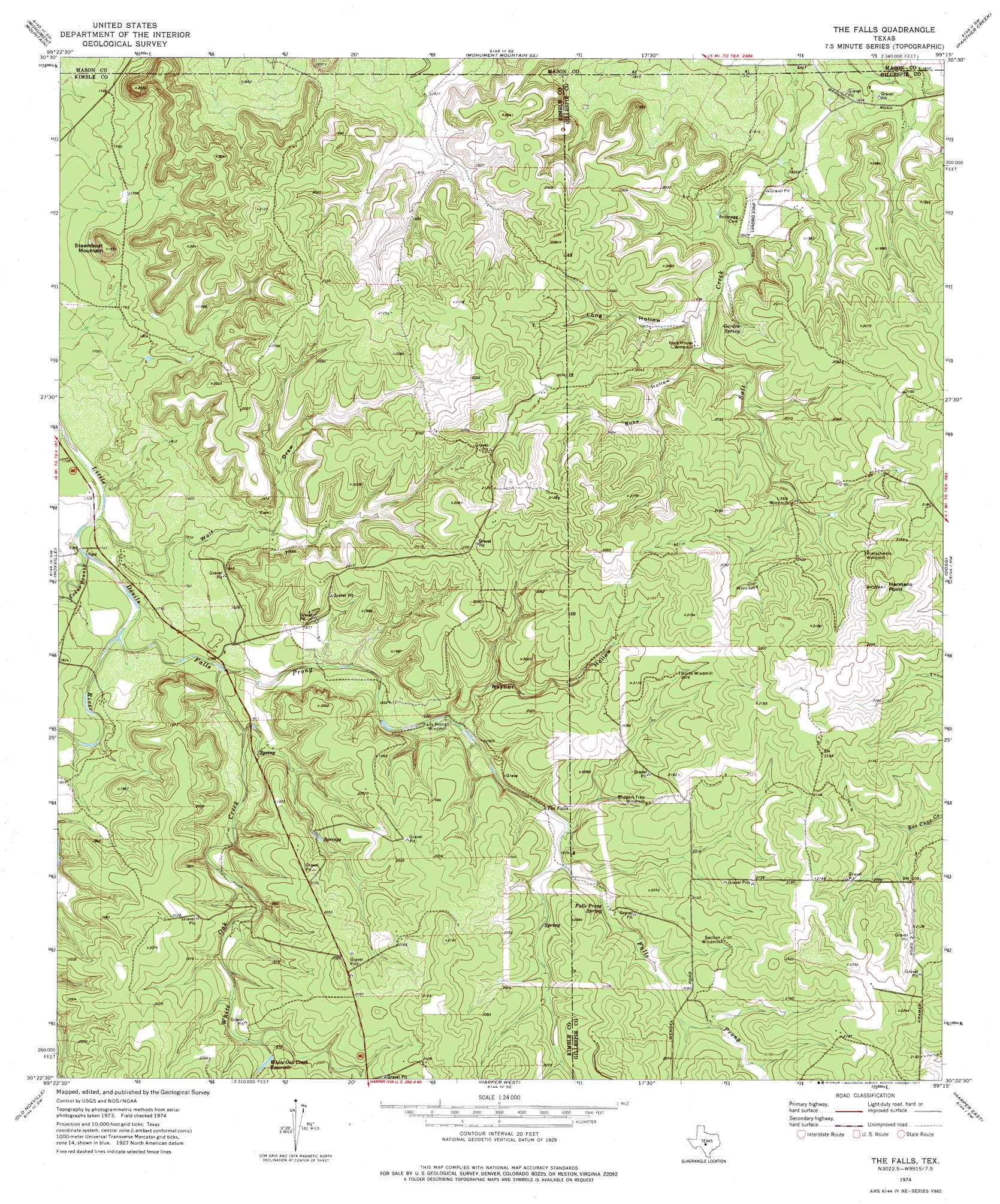
USGS Topo Quad 30099d3 - 1:24,000 scale
| Topo Map Name: | The Falls |
| USGS Topo Quad ID: | 30099d3 |
| Print Size: | ca. 21 1/4" wide x 27" high |
| Southeast Coordinates: | 30.375° N latitude / 99.25° W longitude |
| Map Center Coordinates: | 30.4375° N latitude / 99.3125° W longitude |
| U.S. State: | TX |
| Filename: | o30099d3.jpg |
| Download Map JPG Image: | The Falls topo map 1:24,000 scale |
| Map Type: | Topographic |
| Topo Series: | 7.5´ |
| Map Scale: | 1:24,000 |
| Source of Map Images: | United States Geological Survey (USGS) |
| Alternate Map Versions: |
The Falls TX 1974, updated 1977 Download PDF Buy paper map The Falls TX 2010 Download PDF Buy paper map The Falls TX 2012 Download PDF Buy paper map The Falls TX 2016 Download PDF Buy paper map |
1:24,000 Topo Quads surrounding The Falls
London |
Sheep Run Creek |
Turtle Creek |
Mason |
Art |
Yates |
Monument Mountain |
Monument Mountain Se |
Panther Creek |
Loyal Valley |
Tobe Branch |
Noxville |
The Falls |
Doss |
Cherry Spring |
Mudge Draw |
Old Noxville |
Harper West |
Harper East |
Roundhead |
Live Oak Ranch |
Contrary Creek |
Mountain Home |
Nott Branch |
Morris Ranch |
> Back to 30099a1 at 1:100,000 scale
> Back to 30098a1 at 1:250,000 scale
> Back to U.S. Topo Maps home
The Falls topo map: Gazetteer
The Falls: Falls
The Falls elevation 574m 1883′The Falls: Reservoirs
White Oak Creek Reservoir elevation 607m 1991′The Falls: Springs
Falls Prong Spring elevation 599m 1965′Garden Spring elevation 585m 1919′
The Falls: Streams
Cedar Branch elevation 523m 1715′Falls Prong elevation 529m 1735′
White Oak Creek elevation 535m 1755′
The Falls: Summits
Hermans Point elevation 684m 2244′Steamboat Mountain elevation 608m 1994′
The Falls: Valleys
Bone Hollow elevation 579m 1899′Long Hollow elevation 572m 1876′
Rayner Hollow elevation 557m 1827′
Wolf Draw elevation 524m 1719′
The Falls digital topo map on disk
Buy this The Falls topo map showing relief, roads, GPS coordinates and other geographical features, as a high-resolution digital map file on DVD: