Mofeta Topo Map Texas
To zoom in, hover over the map of Mofeta
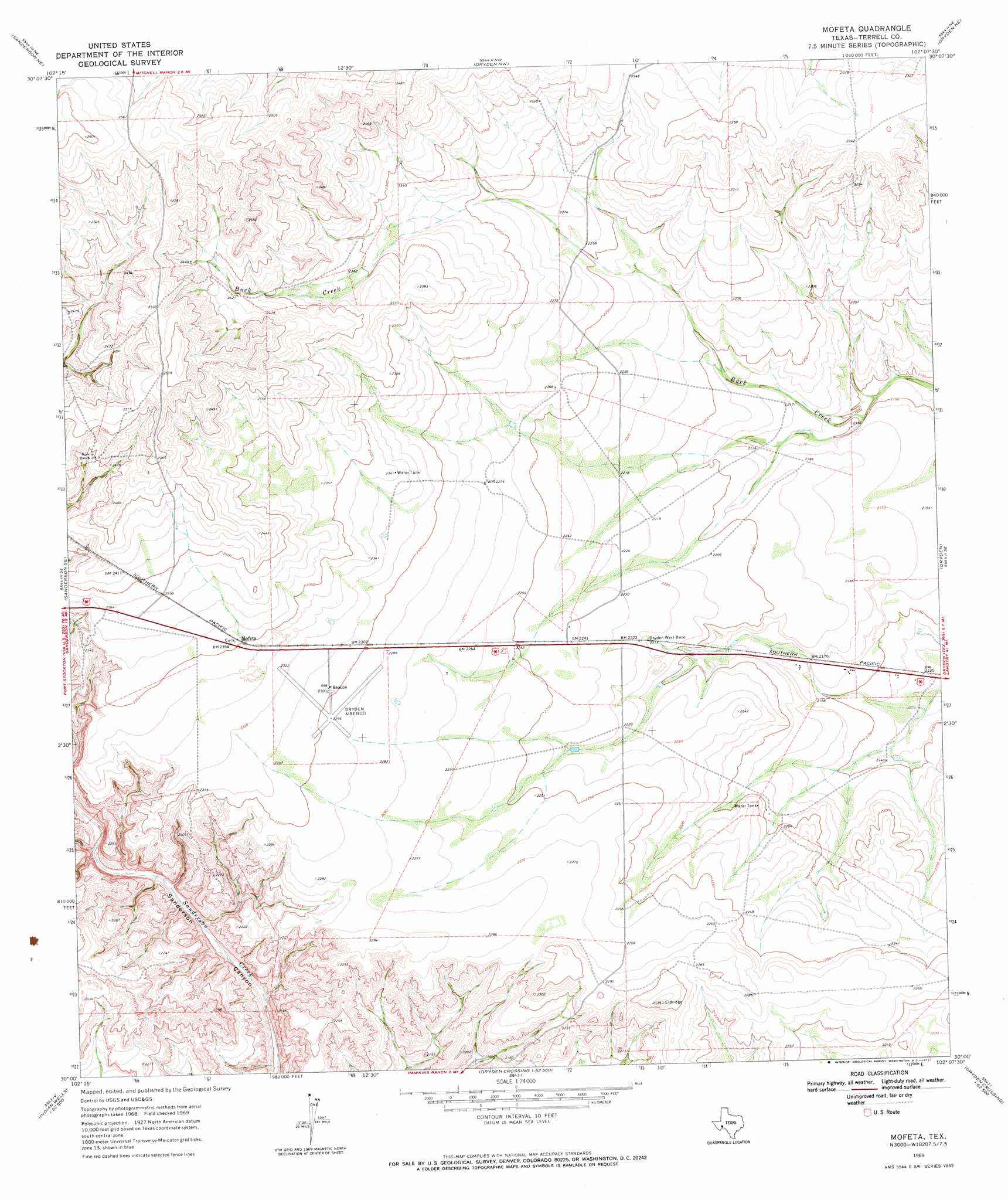
USGS Topo Quad 30102a2 - 1:24,000 scale
| Topo Map Name: | Mofeta |
| USGS Topo Quad ID: | 30102a2 |
| Print Size: | ca. 21 1/4" wide x 27" high |
| Southeast Coordinates: | 30° N latitude / 102.125° W longitude |
| Map Center Coordinates: | 30.0625° N latitude / 102.1875° W longitude |
| U.S. State: | TX |
| Filename: | o30102a2.jpg |
| Download Map JPG Image: | Mofeta topo map 1:24,000 scale |
| Map Type: | Topographic |
| Topo Series: | 7.5´ |
| Map Scale: | 1:24,000 |
| Source of Map Images: | United States Geological Survey (USGS) |
| Alternate Map Versions: |
Mofeta TX 1969, updated 1972 Download PDF Buy paper map Mofeta TX 2010 Download PDF Buy paper map Mofeta TX 2012 Download PDF Buy paper map Mofeta TX 2016 Download PDF Buy paper map |
1:24,000 Topo Quads surrounding Mofeta
Big Canyon Ranch Sw |
Big Canyon Ranch |
Allen Ranch |
Continental Ranch |
Geddis Canyon West |
Sanderson |
Sanderson Ne |
Dryden Nw |
Dryden Ne |
Meyers Canyon Nw |
Hagler Canyon |
Sanderson Se |
Mofeta |
Dryden |
Meyers Canyon |
Candilla Canyon West |
Candilla Canyon East |
Mcclain Canyon |
Balcon Creek |
Cook Creek North |
Panther Gulch West |
Panther Gulch East |
Taylor Canyon |
Shafter Canyon |
Cook Creek South |
> Back to 30102a1 at 1:100,000 scale
> Back to 30102a1 at 1:250,000 scale
> Back to U.S. Topo Maps home
Mofeta topo map: Gazetteer
Mofeta: Airports
Terrell County Airport elevation 701m 2299′Mofeta: Populated Places
Mofeta elevation 717m 2352′Mofeta digital topo map on disk
Buy this Mofeta topo map showing relief, roads, GPS coordinates and other geographical features, as a high-resolution digital map file on DVD: