Sherbino Mesa Topo Map Texas
To zoom in, hover over the map of Sherbino Mesa
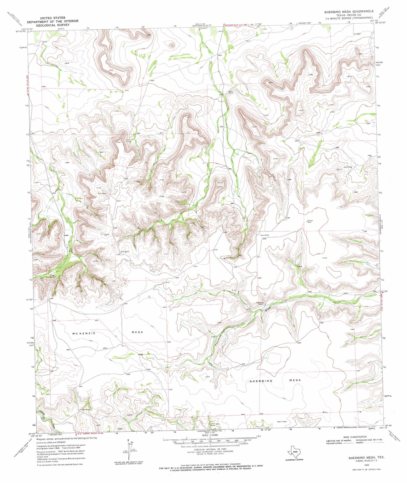
USGS Topo Quad 30102g3 - 1:24,000 scale
| Topo Map Name: | Sherbino Mesa |
| USGS Topo Quad ID: | 30102g3 |
| Print Size: | ca. 21 1/4" wide x 27" high |
| Southeast Coordinates: | 30.75° N latitude / 102.25° W longitude |
| Map Center Coordinates: | 30.8125° N latitude / 102.3125° W longitude |
| U.S. State: | TX |
| Filename: | o30102g3.jpg |
| Download Map JPG Image: | Sherbino Mesa topo map 1:24,000 scale |
| Map Type: | Topographic |
| Topo Series: | 7.5´ |
| Map Scale: | 1:24,000 |
| Source of Map Images: | United States Geological Survey (USGS) |
| Alternate Map Versions: |
Sherbino Mesa TX 1969, updated 1973 Download PDF Buy paper map Sherbino Mesa TX 2010 Download PDF Buy paper map Sherbino Mesa TX 2012 Download PDF Buy paper map Sherbino Mesa TX 2016 Download PDF Buy paper map |
1:24,000 Topo Quads surrounding Sherbino Mesa
Owego |
Girvin |
Girvin Se |
Mccamey South |
Table Top Mountain |
Saddle Butte |
Bootleg Canyon |
Bakersfield |
Indian Mesa |
Indian Mesa Ne |
Panther Bluff |
Skyscraper Peak |
Sherbino Mesa |
Sherbino Ranch |
Indian Mesa Se |
Rock House Draw Ne |
Hackberry Draw Nw |
Hackberry Draw Ne |
Hat-A Ranch |
Smokey Mountain Ranch |
Rock House Draw |
Hackberry Draw Sw |
Hackberry Draw Se |
Seventeen Ranch |
Mitchell Draw |
> Back to 30102e1 at 1:100,000 scale
> Back to 30102a1 at 1:250,000 scale
> Back to U.S. Topo Maps home
Sherbino Mesa digital topo map on disk
Buy this Sherbino Mesa topo map showing relief, roads, GPS coordinates and other geographical features, as a high-resolution digital map file on DVD: