Barrilla Mountains East Topo Map Texas
To zoom in, hover over the map of Barrilla Mountains East
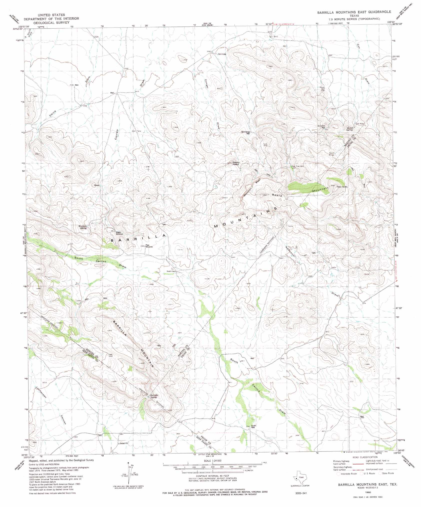
USGS Topo Quad 30103g5 - 1:24,000 scale
| Topo Map Name: | Barrilla Mountains East |
| USGS Topo Quad ID: | 30103g5 |
| Print Size: | ca. 21 1/4" wide x 27" high |
| Southeast Coordinates: | 30.75° N latitude / 103.5° W longitude |
| Map Center Coordinates: | 30.8125° N latitude / 103.5625° W longitude |
| U.S. State: | TX |
| Filename: | o30103g5.jpg |
| Download Map JPG Image: | Barrilla Mountains East topo map 1:24,000 scale |
| Map Type: | Topographic |
| Topo Series: | 7.5´ |
| Map Scale: | 1:24,000 |
| Source of Map Images: | United States Geological Survey (USGS) |
| Alternate Map Versions: |
Barrilla Mountains East TX 1980, updated 1980 Download PDF Buy paper map Barrilla Mountains East TX 2010 Download PDF Buy paper map Barrilla Mountains East TX 2012 Download PDF Buy paper map Barrilla Mountains East TX 2016 Download PDF Buy paper map |
1:24,000 Topo Quads surrounding Barrilla Mountains East
Meier Hills |
Saragosa |
Verhalen South |
Barstow 3 Sw |
Barstow 3 Se |
Toyahvale |
Balmorhea |
Cox Draw |
Deep Well Ranch Nw |
Tucker Hill |
Big Aguja Mountain |
Barrilla Mountains West |
Barrilla Mountains East |
Deep Well Ranch |
Deep Well Ranch Se |
Swayback Mountain |
Major Peak |
Little Star Mountain |
Leoncita Ranch |
Hovey Ne |
Fort Davis Se |
Henderson Mesa |
Last Chance Mesa |
Hovey Sw |
Hovey |
> Back to 30103e1 at 1:100,000 scale
> Back to 30102a1 at 1:250,000 scale
> Back to U.S. Topo Maps home
Barrilla Mountains East topo map: Gazetteer
Barrilla Mountains East: Bars
Mouflon Reef elevation 1316m 4317′Barrilla Mountains East: Populated Places
Cuatro Caminos elevation 1048m 3438′Barrilla Mountains East: Reservoirs
Alto Vista Tank elevation 1288m 4225′Borregus Tank elevation 1289m 4229′
Paisano Tank elevation 1076m 3530′
Tres Parlmas Tank elevation 1200m 3937′
Barrilla Mountains East: Springs
Barrilla Spring elevation 1226m 4022′Beard Spring elevation 1107m 3631′
Mexican Spring elevation 1201m 3940′
Barrilla Mountains East: Summits
Beard Mountain elevation 1459m 4786′Negro Head elevation 1279m 4196′
Barrilla Mountains East: Wells
El Cañon Well elevation 1117m 3664′House Well elevation 1063m 3487′
Quinientas Well elevation 1123m 3684′
South Well elevation 1141m 3743′
Barrilla Mountains East digital topo map on disk
Buy this Barrilla Mountains East topo map showing relief, roads, GPS coordinates and other geographical features, as a high-resolution digital map file on DVD: