Ryan Sw Topo Map Texas
To zoom in, hover over the map of Ryan Sw
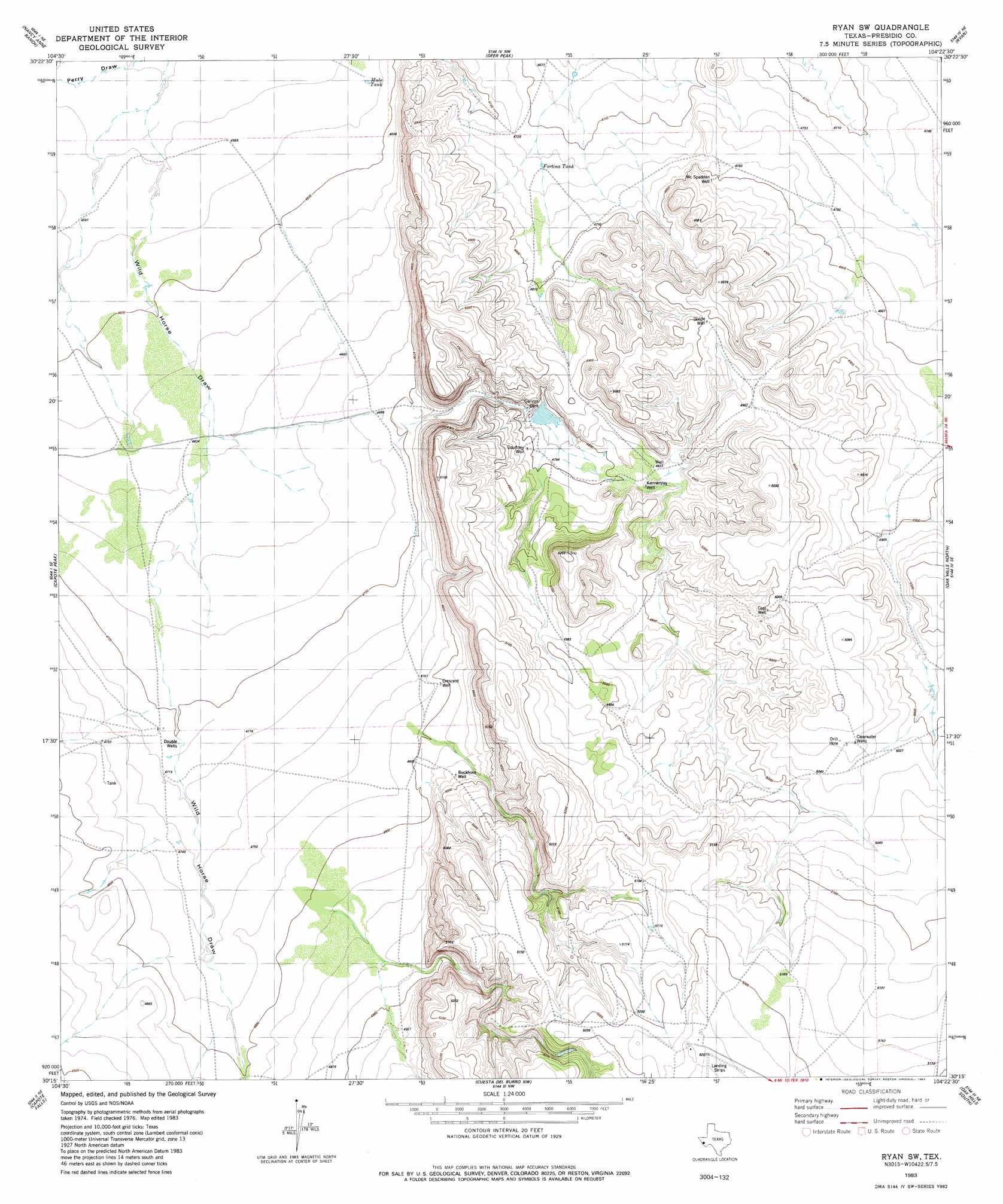
USGS Topo Quad 30104c4 - 1:24,000 scale
| Topo Map Name: | Ryan Sw |
| USGS Topo Quad ID: | 30104c4 |
| Print Size: | ca. 21 1/4" wide x 27" high |
| Southeast Coordinates: | 30.25° N latitude / 104.375° W longitude |
| Map Center Coordinates: | 30.3125° N latitude / 104.4375° W longitude |
| U.S. State: | TX |
| Filename: | o30104c4.jpg |
| Download Map JPG Image: | Ryan Sw topo map 1:24,000 scale |
| Map Type: | Topographic |
| Topo Series: | 7.5´ |
| Map Scale: | 1:24,000 |
| Source of Map Images: | United States Geological Survey (USGS) |
| Alternate Map Versions: |
Ryan SW TX 1983, updated 1983 Download PDF Buy paper map Ryan SW TX 2010 Download PDF Buy paper map Ryan SW TX 2012 Download PDF Buy paper map Ryan SW TX 2016 Download PDF Buy paper map |
1:24,000 Topo Quads surrounding Ryan Sw
Vieja Pass |
Valentine West |
Valentine East |
San Antonio Pass |
Paradise Mountain |
Gettysburg Peak |
Nancy Anne Ranch |
Deer Peak |
Ryan |
Burro Draw |
Mccomb Canyon |
Capote Peak |
Ryan Sw |
Oak Hills North |
Aragon |
Candelaria |
Capote Falls |
Cuesta Del Burro Nw |
Oak Hills South |
Oak Creek |
Pueblo Nuevo |
Ruidosa Hot Springs |
Cuesta Del Burro West |
Cuesta Del Burro East |
San Estaban Lake Sw |
> Back to 30104a1 at 1:100,000 scale
> Back to 30104a1 at 1:250,000 scale
> Back to U.S. Topo Maps home
Ryan Sw digital topo map on disk
Buy this Ryan Sw topo map showing relief, roads, GPS coordinates and other geographical features, as a high-resolution digital map file on DVD: