Bare Mountain Topo Map Texas
To zoom in, hover over the map of Bare Mountain
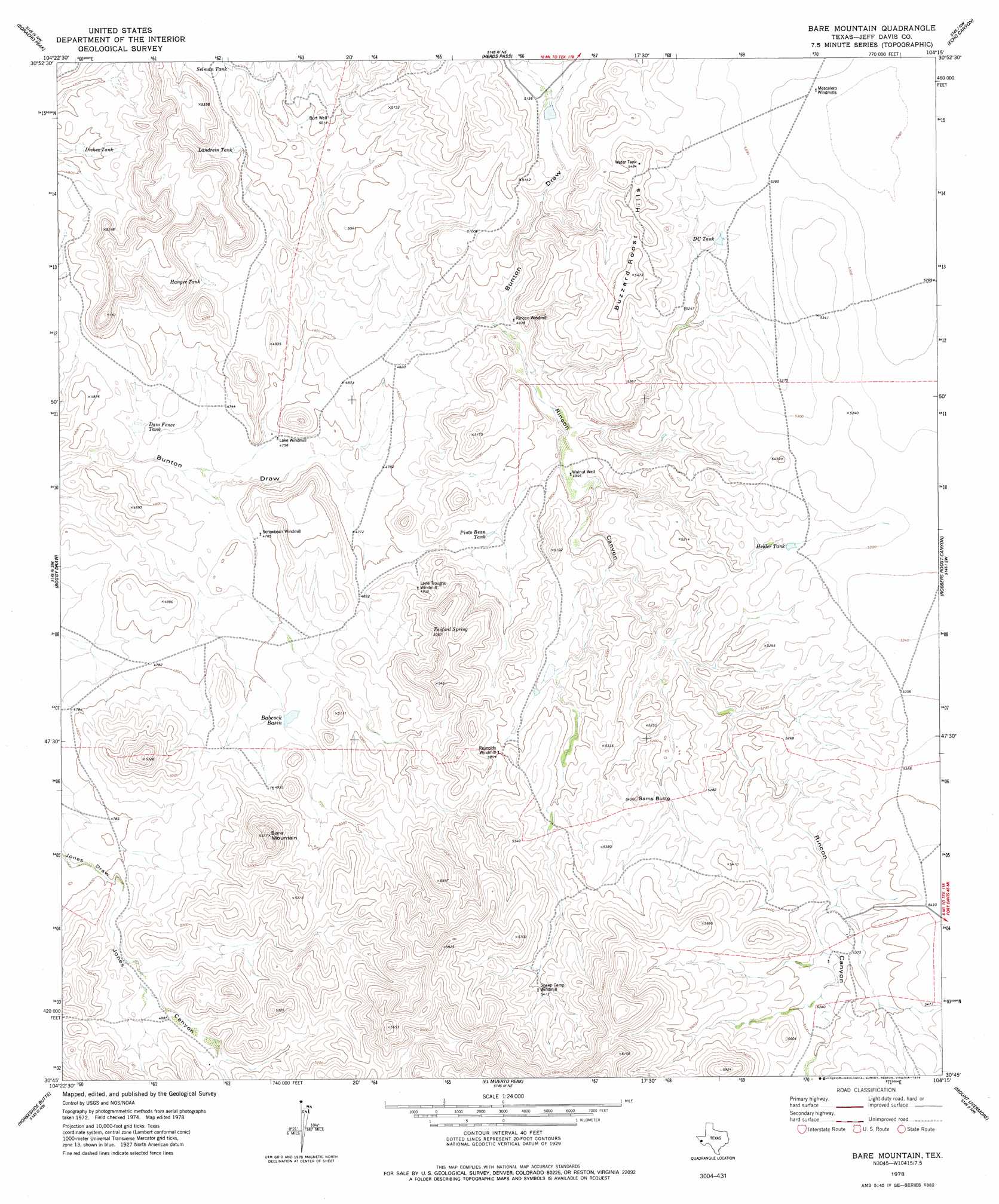
USGS Topo Quad 30104g3 - 1:24,000 scale
| Topo Map Name: | Bare Mountain |
| USGS Topo Quad ID: | 30104g3 |
| Print Size: | ca. 21 1/4" wide x 27" high |
| Southeast Coordinates: | 30.75° N latitude / 104.25° W longitude |
| Map Center Coordinates: | 30.8125° N latitude / 104.3125° W longitude |
| U.S. State: | TX |
| Filename: | o30104g3.jpg |
| Download Map JPG Image: | Bare Mountain topo map 1:24,000 scale |
| Map Type: | Topographic |
| Topo Series: | 7.5´ |
| Map Scale: | 1:24,000 |
| Source of Map Images: | United States Geological Survey (USGS) |
| Alternate Map Versions: |
Bare Mountain TX 1978, updated 1978 Download PDF Buy paper map Bare Mountain TX 2010 Download PDF Buy paper map Bare Mountain TX 2012 Download PDF Buy paper map Bare Mountain TX 2016 Download PDF Buy paper map |
1:24,000 Topo Quads surrounding Bare Mountain
Plateau |
Boracho |
Fencepost Draw |
Kent |
Gomez Peak |
Chispa Mountain Ne |
Boracho Peak |
Herds Pass |
Echo Canyon |
Buckhorn Mountain |
Mayfield Hills |
Boggy Draw |
Bare Mountain |
Robbers Roost Canyon |
Friend Mountain |
Dowman Canyon |
Horseshoe Butte |
El Muerto Peak |
Mount Livermore |
Mount Locke |
Valentine West |
Valentine East |
San Antonio Pass |
Paradise Mountain |
Blue Mountain |
> Back to 30104e1 at 1:100,000 scale
> Back to 30104a1 at 1:250,000 scale
> Back to U.S. Topo Maps home
Bare Mountain topo map: Gazetteer
Bare Mountain: Basins
Babcock Basin elevation 1482m 4862′Bare Mountain: Ranges
Buzzard Roost Hills elevation 1663m 5456′Bare Mountain: Reservoirs
D C Tank elevation 1599m 5246′Dam Fence Tank elevation 1437m 4714′
Dickes Tank elevation 1457m 4780′
Hanger Tank elevation 1484m 4868′
Heider Tank elevation 1598m 5242′
Landrein Tank elevation 1526m 5006′
Pinto Bean Tank elevation 1482m 4862′
Selman Tank elevation 1538m 5045′
Bare Mountain: Springs
Twiford Spring elevation 1545m 5068′Bare Mountain: Summits
Bare Mountain elevation 1695m 5561′Sams Butte elevation 1652m 5419′
Bare Mountain: Valleys
Jones Canyon elevation 1461m 4793′Rincon Canyon elevation 1487m 4878′
Bare Mountain: Wells
Burt Well elevation 1527m 5009′Walnut Well elevation 1503m 4931′
Bare Mountain digital topo map on disk
Buy this Bare Mountain topo map showing relief, roads, GPS coordinates and other geographical features, as a high-resolution digital map file on DVD: