Brooklyn Topo Map Alabama
To zoom in, hover over the map of Brooklyn
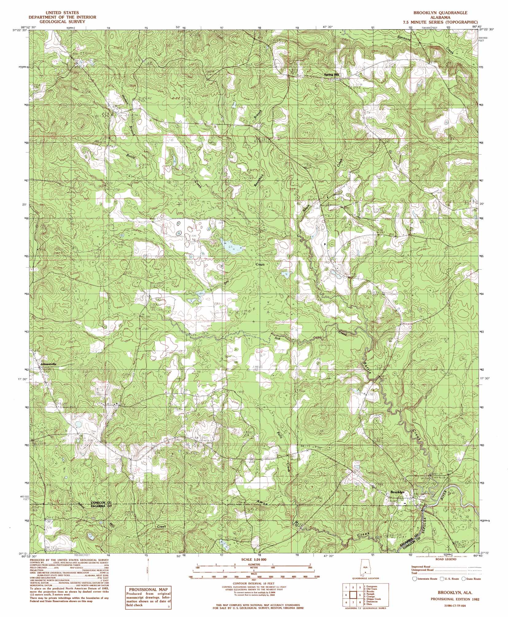
USGS Topo Quad 31086c7 - 1:24,000 scale
| Topo Map Name: | Brooklyn |
| USGS Topo Quad ID: | 31086c7 |
| Print Size: | ca. 21 1/4" wide x 27" high |
| Southeast Coordinates: | 31.25° N latitude / 86.75° W longitude |
| Map Center Coordinates: | 31.3125° N latitude / 86.8125° W longitude |
| U.S. State: | AL |
| Filename: | o31086c7.jpg |
| Download Map JPG Image: | Brooklyn topo map 1:24,000 scale |
| Map Type: | Topographic |
| Topo Series: | 7.5´ |
| Map Scale: | 1:24,000 |
| Source of Map Images: | United States Geological Survey (USGS) |
| Alternate Map Versions: |
Brooklyn AL 1982, updated 1982 Download PDF Buy paper map Brooklyn AL 2011 Download PDF Buy paper map Brooklyn AL 2014 Download PDF Buy paper map |
1:24,000 Topo Quads surrounding Brooklyn
China |
Lyeffion |
Garland |
Mckenzie |
Industry |
Belleville |
Evergreen |
Old Town |
Brooks |
Red Level |
Castleberry |
Nymph |
Brooklyn |
Loango |
River Falls |
Brewton North |
Shipps Creek |
Damascus |
Dixie |
Carolina |
Brewton South |
Roberts |
Parker Springs |
Bradley |
Wing |
> Back to 31086a1 at 1:100,000 scale
> Back to 31086a1 at 1:250,000 scale
> Back to U.S. Topo Maps home
Brooklyn topo map: Gazetteer
Brooklyn: Populated Places
Brooklyn elevation 48m 157′Johnsonville elevation 88m 288′
Spring Hill elevation 93m 305′
Brooklyn: Streams
Amos Mill Creek elevation 33m 108′Ard Creek elevation 39m 127′
Bearthick Branch elevation 48m 157′
Bottle Creek elevation 38m 124′
Dry Creek elevation 41m 134′
Horton Branch elevation 60m 196′
Polly Creek elevation 39m 127′
Rawls Creek elevation 47m 154′
Brooklyn digital topo map on disk
Buy this Brooklyn topo map showing relief, roads, GPS coordinates and other geographical features, as a high-resolution digital map file on DVD:
Gulf Coast (LA, MS, AL, FL) & Southwestern Georgia
Buy digital topo maps: Gulf Coast (LA, MS, AL, FL) & Southwestern Georgia
 & Southwestern Georgia map DVD")