Jeannette Topo Map Mississippi
To zoom in, hover over the map of Jeannette
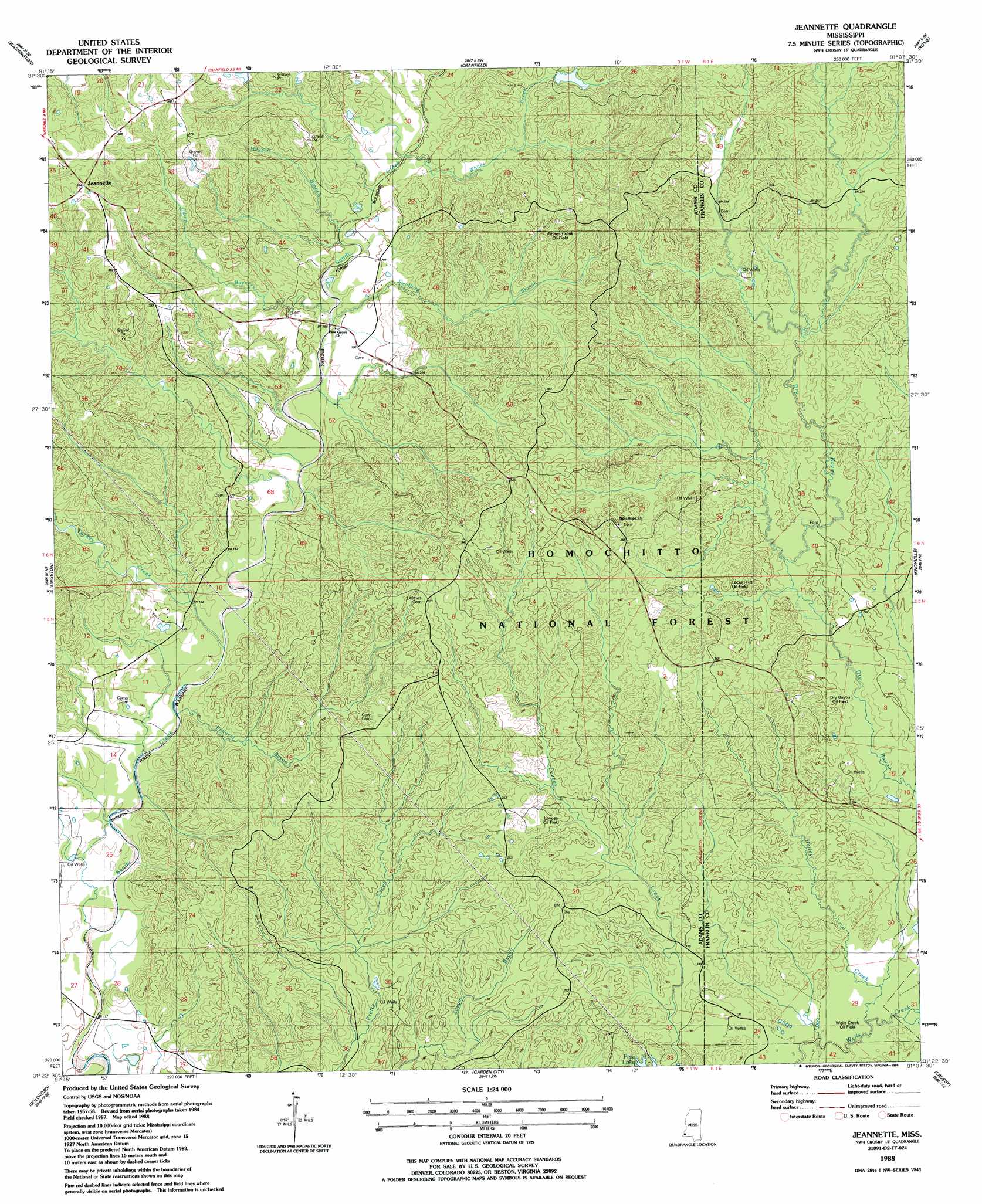
USGS Topo Quad 31091d2 - 1:24,000 scale
| Topo Map Name: | Jeannette |
| USGS Topo Quad ID: | 31091d2 |
| Print Size: | ca. 21 1/4" wide x 27" high |
| Southeast Coordinates: | 31.375° N latitude / 91.125° W longitude |
| Map Center Coordinates: | 31.4375° N latitude / 91.1875° W longitude |
| U.S. State: | MS |
| Filename: | o31091d2.jpg |
| Download Map JPG Image: | Jeannette topo map 1:24,000 scale |
| Map Type: | Topographic |
| Topo Series: | 7.5´ |
| Map Scale: | 1:24,000 |
| Source of Map Images: | United States Geological Survey (USGS) |
| Alternate Map Versions: |
Jeannette MS 1988, updated 1988 Download PDF Buy paper map Jeannette MS 2000, updated 2002 Download PDF Buy paper map Jeannette MS 2012 Download PDF Buy paper map Jeannette MS 2015 Download PDF Buy paper map |
| FStopo: | US Forest Service topo Jeannette is available: Download FStopo PDF Download FStopo TIF |
1:24,000 Topo Quads surrounding Jeannette
Spokane |
Pine Ridge |
Church Hill |
Fayette |
Gin Branch |
Natchez |
Washington |
Cranfield |
Roxie |
Kirby |
Sibley |
Kingston |
Jeannette |
Knoxville |
Meadville |
Buck Island |
Doloroso |
Garden City |
Crosby |
Homochitto |
Lessley |
Laneheart |
Wilkinson |
Gloster |
Bewelcome |
> Back to 31091a1 at 1:100,000 scale
> Back to 31090a1 at 1:250,000 scale
> Back to U.S. Topo Maps home
Jeannette topo map: Gazetteer
Jeannette: Dams
Pipes Lake Dam elevation 96m 314′Webb Carter Junior Lake Dam elevation 32m 104′
Jeannette: Flats
Natchez Coravel Pits elevation 114m 374′Jeannette: Oilfields
Cooper Hill Oil Field elevation 102m 334′Courtland Oil Field elevation 61m 200′
Dry Bayou Oil Field elevation 75m 246′
Leesdale Tower Oil Field elevation 69m 226′
Levees Oil Field elevation 76m 249′
Locust Hill Oil Field elevation 68m 223′
Moorland Oil Field elevation 43m 141′
North Pelucid Bayou Oil Field elevation 91m 298′
Pellucid Bayou Oil Field elevation 83m 272′
Pretty Creek Oil Field elevation 60m 196′
South Jeannette Oil Field elevation 110m 360′
Wells Creek Oil Field elevation 41m 134′
West Deerfield Oil Field elevation 32m 104′
West Locust Hill Oil Field elevation 88m 288′
Whites Creek Oil Field elevation 93m 305′
Jeannette: Parks
Pipes Lake Recreation Area elevation 43m 141′Sandy Creek State Creek Wildlife Management Area elevation 73m 239′
Jeannette: Populated Places
Jeannette elevation 116m 380′Jeannette: Streams
Bailey Creek elevation 37m 121′Hoggatt Branch elevation 64m 209′
Odum Bayou elevation 55m 180′
Pellucid Bayou elevation 37m 121′
Swafford Branch elevation 57m 187′
Turkey Creek elevation 40m 131′
Whites Creek elevation 61m 200′
Jeannette digital topo map on disk
Buy this Jeannette topo map showing relief, roads, GPS coordinates and other geographical features, as a high-resolution digital map file on DVD: