Roxie Topo Map Mississippi
To zoom in, hover over the map of Roxie
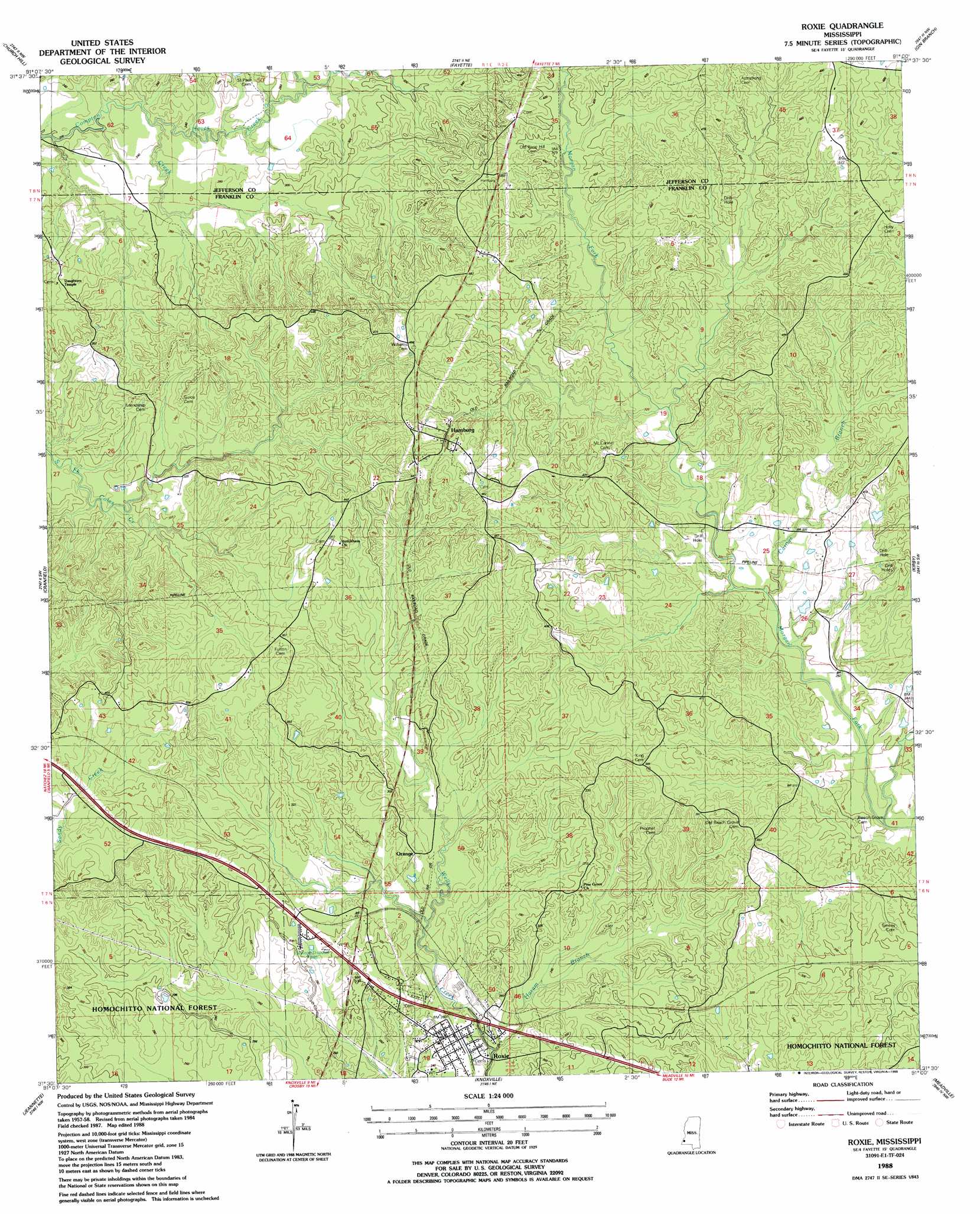
USGS Topo Quad 31091e1 - 1:24,000 scale
| Topo Map Name: | Roxie |
| USGS Topo Quad ID: | 31091e1 |
| Print Size: | ca. 21 1/4" wide x 27" high |
| Southeast Coordinates: | 31.5° N latitude / 91° W longitude |
| Map Center Coordinates: | 31.5625° N latitude / 91.0625° W longitude |
| U.S. State: | MS |
| Filename: | o31091e1.jpg |
| Download Map JPG Image: | Roxie topo map 1:24,000 scale |
| Map Type: | Topographic |
| Topo Series: | 7.5´ |
| Map Scale: | 1:24,000 |
| Source of Map Images: | United States Geological Survey (USGS) |
| Alternate Map Versions: |
Roxie MS 1988, updated 1988 Download PDF Buy paper map Roxie MS 2000, updated 2002 Download PDF Buy paper map Roxie MS 2012 Download PDF Buy paper map Roxie MS 2015 Download PDF Buy paper map |
| FStopo: | US Forest Service topo Roxie is available: Download FStopo PDF Download FStopo TIF |
1:24,000 Topo Quads surrounding Roxie
Chamblee |
Rodney |
Lorman |
Red Lick |
Mcbride |
Pine Ridge |
Church Hill |
Fayette |
Gin Branch |
Union Church |
Washington |
Cranfield |
Roxie |
Kirby |
Eddicetown |
Kingston |
Jeannette |
Knoxville |
Meadville |
Bude |
Doloroso |
Garden City |
Crosby |
Homochitto |
Busy Corner |
> Back to 31091e1 at 1:100,000 scale
> Back to 31090a1 at 1:250,000 scale
> Back to U.S. Topo Maps home
Roxie topo map: Gazetteer
Roxie: Oilfields
Morgan Creek Oil Field elevation 117m 383′Oldenburg Oil Field elevation 109m 357′
South Morgan Creek Oil Field elevation 79m 259′
Roxie: Populated Places
Hamburg elevation 122m 400′Orange elevation 85m 278′
Roxie elevation 73m 239′
Roxie: Springs
Wildwood Spring elevation 108m 354′Roxie: Streams
Carnes Branch elevation 87m 285′Haram Branch elevation 61m 200′
Hayes Creek elevation 68m 223′
Roxie digital topo map on disk
Buy this Roxie topo map showing relief, roads, GPS coordinates and other geographical features, as a high-resolution digital map file on DVD: