Eola Topo Map Texas
To zoom in, hover over the map of Eola
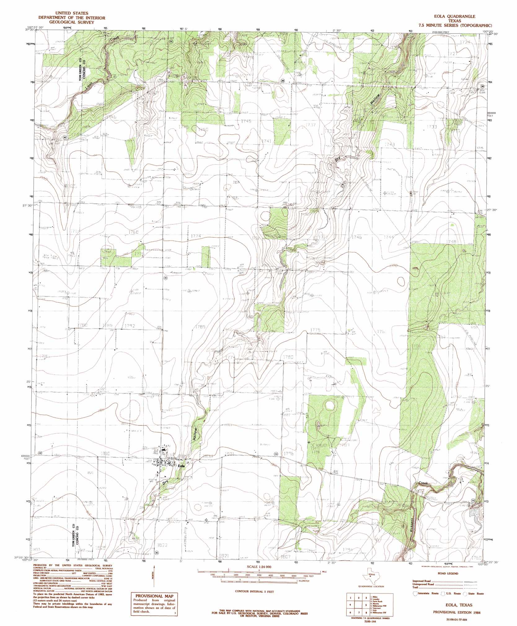
USGS Topo Quad 31100d1 - 1:24,000 scale
| Topo Map Name: | Eola |
| USGS Topo Quad ID: | 31100d1 |
| Print Size: | ca. 21 1/4" wide x 27" high |
| Southeast Coordinates: | 31.375° N latitude / 100° W longitude |
| Map Center Coordinates: | 31.4375° N latitude / 100.0625° W longitude |
| U.S. State: | TX |
| Filename: | o31100d1.jpg |
| Download Map JPG Image: | Eola topo map 1:24,000 scale |
| Map Type: | Topographic |
| Topo Series: | 7.5´ |
| Map Scale: | 1:24,000 |
| Source of Map Images: | United States Geological Survey (USGS) |
| Alternate Map Versions: |
Eola TX 1984, updated 1984 Download PDF Buy paper map Eola TX 2010 Download PDF Buy paper map Eola TX 2012 Download PDF Buy paper map Eola TX 2016 Download PDF Buy paper map |
1:24,000 Topo Quads surrounding Eola
Tennyson |
Miles Nw |
Rowena |
Ballinger |
Buffalo Bluff |
Harriet |
Miles |
Lowake |
Paint Rock |
Concho |
Veribest |
Mereta |
Eola |
Millersview Nw |
Millersview |
Wall |
Vancourt |
Vick |
Millersview Sw |
Millersview Se |
Susan Peak |
Kickapoo Spring |
Burr Oak Creek |
Live Oak |
Eden |
> Back to 31100a1 at 1:100,000 scale
> Back to 31100a1 at 1:250,000 scale
> Back to U.S. Topo Maps home
Eola topo map: Gazetteer
Eola: Dams
W H Ellis Dam elevation 532m 1745′Eola: Oilfields
Mereta Oil Field elevation 528m 1732′Eola: Populated Places
Eola elevation 551m 1807′Eola: Reservoirs
W H Ellis Lake elevation 532m 1745′Eola digital topo map on disk
Buy this Eola topo map showing relief, roads, GPS coordinates and other geographical features, as a high-resolution digital map file on DVD: