Buena Vista Ne Topo Map Texas
To zoom in, hover over the map of Buena Vista Ne
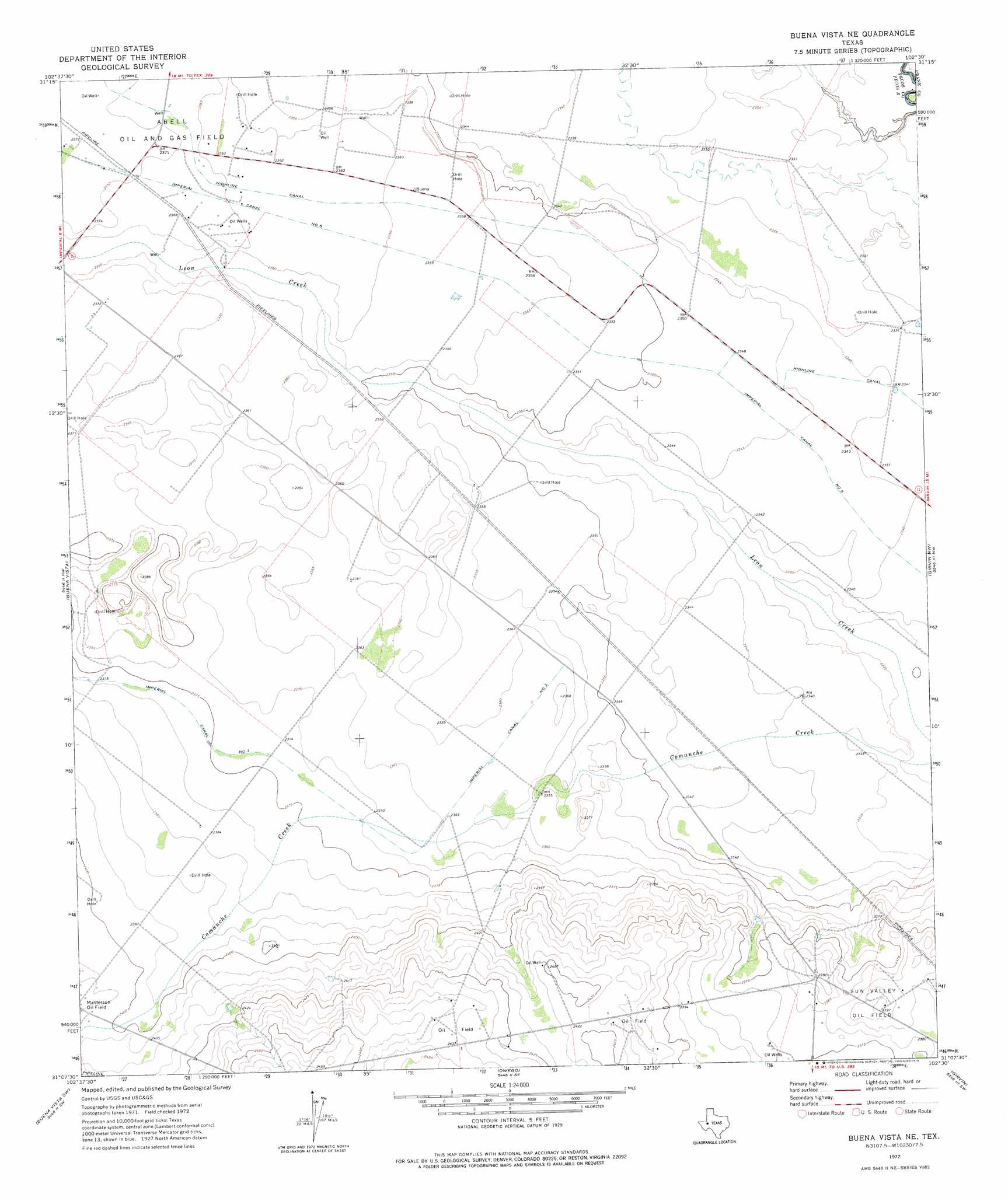
USGS Topo Quad 31102b5 - 1:24,000 scale
| Topo Map Name: | Buena Vista Ne |
| USGS Topo Quad ID: | 31102b5 |
| Print Size: | ca. 21 1/4" wide x 27" high |
| Southeast Coordinates: | 31.125° N latitude / 102.5° W longitude |
| Map Center Coordinates: | 31.1875° N latitude / 102.5625° W longitude |
| U.S. State: | TX |
| Filename: | o31102b5.jpg |
| Download Map JPG Image: | Buena Vista Ne topo map 1:24,000 scale |
| Map Type: | Topographic |
| Topo Series: | 7.5´ |
| Map Scale: | 1:24,000 |
| Source of Map Images: | United States Geological Survey (USGS) |
| Alternate Map Versions: |
Buena Vista NE TX 1972, updated 1974 Download PDF Buy paper map Buena Vista NE TX 2010 Download PDF Buy paper map Buena Vista NE TX 2012 Download PDF Buy paper map Buena Vista NE TX 2016 Download PDF Buy paper map |
1:24,000 Topo Quads surrounding Buena Vista Ne
Ozark Lake |
Imperial Nw |
Tubbs Corner |
Crane Nw |
Crane |
Grandfalls |
Imperial |
Juan Cordona Lake |
Crane Sw |
Castle Gap |
Diamond Y Spring Ne |
Buena Vista |
Buena Vista Ne |
Girvin Nw |
Girvin Ne |
Diamond Y Spring Se |
Buena Vista Sw |
Owego |
Girvin |
Girvin Se |
Fort Stockton East |
East Mesa |
Saddle Butte |
Bootleg Canyon |
Bakersfield |
> Back to 31102a1 at 1:100,000 scale
> Back to 31102a1 at 1:250,000 scale
> Back to U.S. Topo Maps home
Buena Vista Ne topo map: Gazetteer
Buena Vista Ne: Canals
Highline Canal elevation 718m 2355′Imperial Canal Number Five elevation 720m 2362′
Buena Vista Ne digital topo map on disk
Buy this Buena Vista Ne topo map showing relief, roads, GPS coordinates and other geographical features, as a high-resolution digital map file on DVD: