Mickey Draw West Topo Map Texas
To zoom in, hover over the map of Mickey Draw West
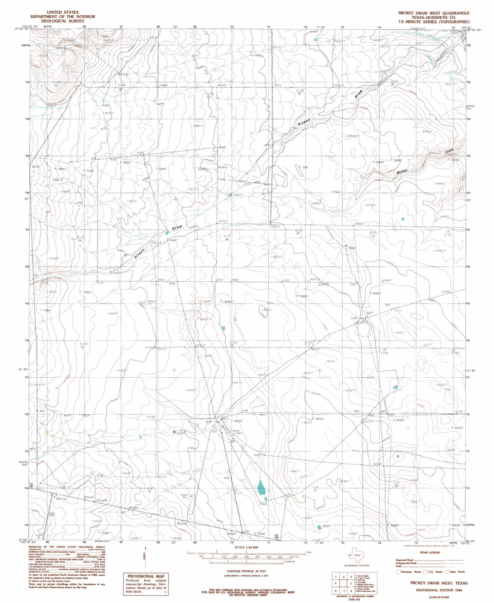
USGS Topo Quad 31105g3 - 1:24,000 scale
| Topo Map Name: | Mickey Draw West |
| USGS Topo Quad ID: | 31105g3 |
| Print Size: | ca. 21 1/4" wide x 27" high |
| Southeast Coordinates: | 31.75° N latitude / 105.25° W longitude |
| Map Center Coordinates: | 31.8125° N latitude / 105.3125° W longitude |
| U.S. State: | TX |
| Filename: | o31105g3.jpg |
| Download Map JPG Image: | Mickey Draw West topo map 1:24,000 scale |
| Map Type: | Topographic |
| Topo Series: | 7.5´ |
| Map Scale: | 1:24,000 |
| Source of Map Images: | United States Geological Survey (USGS) |
| Alternate Map Versions: |
Mickey Draw West TX 1984, updated 1985 Download PDF Buy paper map Mickey Draw West TX 2010 Download PDF Buy paper map Mickey Draw West TX 2013 Download PDF Buy paper map Mickey Draw West TX 2016 Download PDF Buy paper map |
1:24,000 Topo Quads surrounding Mickey Draw West
Cornudas Mountain |
Mcveigh Hills |
Shiloh Hills Se |
Culp Draw |
Cienega School |
Sixteen Mountains |
Cerro Diablo |
C And L Draw |
Dell City |
Linda Lake North |
Molesworth Mesa North |
Cornudas |
Mickey Draw West |
Mickey Draw East |
Linda Lake South |
Molesworth Mesa South |
Adobe House Tank |
Hueco Station |
Black Mountains Nw |
Salt Flat |
Granite Mountain |
Baylor Draw |
Scratch Ranch |
Black Mountains |
Babb Canyon |
> Back to 31105e1 at 1:100,000 scale
> Back to 31104a1 at 1:250,000 scale
> Back to U.S. Topo Maps home
Mickey Draw West topo map: Gazetteer
Mickey Draw West: Valleys
Hitson Draw elevation 1169m 3835′Mickey Draw West: Wells
McGuire Well elevation 1223m 4012′Melbert Ranch elevation 1233m 4045′
Mickey Draw West digital topo map on disk
Buy this Mickey Draw West topo map showing relief, roads, GPS coordinates and other geographical features, as a high-resolution digital map file on DVD: