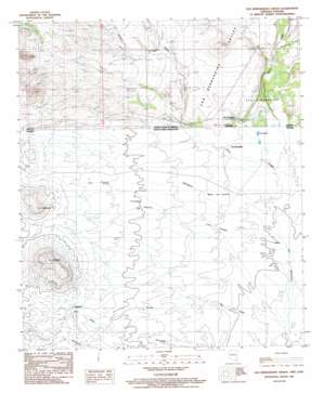
San Bernardino Ranch Topo Map Arizona
To zoom in, hover over the map of San Bernardino Ranch
USGS Topo Quad 31109c3 - 1:24,000 scale
| Topo Map Name: | San Bernardino Ranch |
| USGS Topo Quad ID: | 31109c3 |
| Print Size: | ca. 21 1/4" wide x 27" high |
| Southeast Coordinates: | 31.25° N latitude / 109.25° W longitude |
| Map Center Coordinates: | 31.3125° N latitude / 109.3125° W longitude |
| U.S. State: | AZ |
| Filename: | o31109c3.jpg |
| Download Map JPG Image: | San Bernardino Ranch topo map 1:24,000 scale |
| Map Type: | Topographic |
| Topo Series: | 7.5´ |
| Map Scale: | 1:24,000 |
| Source of Map Images: | United States Geological Survey (USGS) |
| Alternate Map Versions: |
San Bernardino Ranch AZ 1985, updated 1986 Download PDF Buy paper map San Bernardino Ranch AZ 2011 Download PDF Buy paper map San Bernardino Ranch AZ 2014 Download PDF Buy paper map |
1:24,000 Topo Quads surrounding San Bernardino Ranch
> Back to 31109a1 at 1:100,000 scale
> Back to 31108a1 at 1:250,000 scale
> Back to U.S. Topo Maps home
San Bernardino Ranch topo map: Gazetteer
San Bernardino Ranch: Reservoirs
Astin Tank elevation 1156m 3792′San Bernardino Ranch: Springs
Astin Spring elevation 1161m 3809′San Bernardino Ranch: Streams
Cottonwood Creek elevation 1153m 3782′Silver Creek elevation 1128m 3700′
Wildcat Wash elevation 1178m 3864′
San Bernardino Ranch: Valleys
Black Draw elevation 1143m 3750′Cottonwood Draw elevation 1153m 3782′
San Bernardino Valley elevation 0m 0′
San Bernardino Ranch digital topo map on disk
Buy this San Bernardino Ranch topo map showing relief, roads, GPS coordinates and other geographical features, as a high-resolution digital map file on DVD:


