Kiawah Island Topo Map South Carolina
To zoom in, hover over the map of Kiawah Island
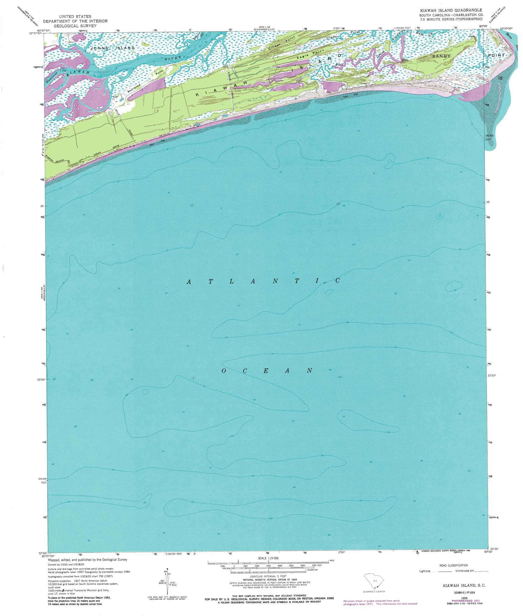
USGS Topo Quad 32080e1 - 1:24,000 scale
| Topo Map Name: | Kiawah Island |
| USGS Topo Quad ID: | 32080e1 |
| Print Size: | ca. 21 1/4" wide x 27" high |
| Southeast Coordinates: | 32.5° N latitude / 80° W longitude |
| Map Center Coordinates: | 32.5625° N latitude / 80.0625° W longitude |
| U.S. State: | SC |
| Filename: | o32080e1.jpg |
| Download Map JPG Image: | Kiawah Island topo map 1:24,000 scale |
| Map Type: | Topographic |
| Topo Series: | 7.5´ |
| Map Scale: | 1:24,000 |
| Source of Map Images: | United States Geological Survey (USGS) |
| Alternate Map Versions: |
Kiawah Island SC 1943 Download PDF Buy paper map Kiawah Island SC 1943 Download PDF Buy paper map Kiawah Island SC 1959, updated 1960 Download PDF Buy paper map Kiawah Island SC 1959, updated 1973 Download PDF Buy paper map Kiawah Island SC 1959, updated 1986 Download PDF Buy paper map Kiawah Island SC 2011 Download PDF Buy paper map Kiawah Island SC 2014 Download PDF Buy paper map |
1:24,000 Topo Quads surrounding Kiawah Island
Osborn |
Ravenel |
Johns Island |
Charleston |
Fort Moultrie |
Adams Run |
Wadmalaw Island |
Legareville |
James Island |
|
Edisto Island |
Rockville |
Kiawah Island |
||
Edisto Beach |
||||
> Back to 32080e1 at 1:100,000 scale
> Back to 32080a1 at 1:250,000 scale
> Back to U.S. Topo Maps home
Kiawah Island topo map: Gazetteer
Kiawah Island: Capes
Cinder Point elevation 2m 6′Eagle Point elevation 4m 13′
Sandy Point elevation 2m 6′
Shullbred Point elevation 2m 6′
Kiawah Island: Dams
Kiawah Island Bass Pond D-3047 Dam elevation 3m 9′Kiawah Island: Islands
Kiawah Island elevation 4m 13′Kiawah Island: Populated Places
Kiawah Island elevation 4m 13′Kiawah Island: Streams
Bryans Creek elevation 0m 0′Haulover Creek elevation 0m 0′
Kiawah Island digital topo map on disk
Buy this Kiawah Island topo map showing relief, roads, GPS coordinates and other geographical features, as a high-resolution digital map file on DVD:
South Carolina, Western North Carolina & Northeastern Georgia
Buy digital topo maps: South Carolina, Western North Carolina & Northeastern Georgia