Wiggins Topo Map South Carolina
To zoom in, hover over the map of Wiggins
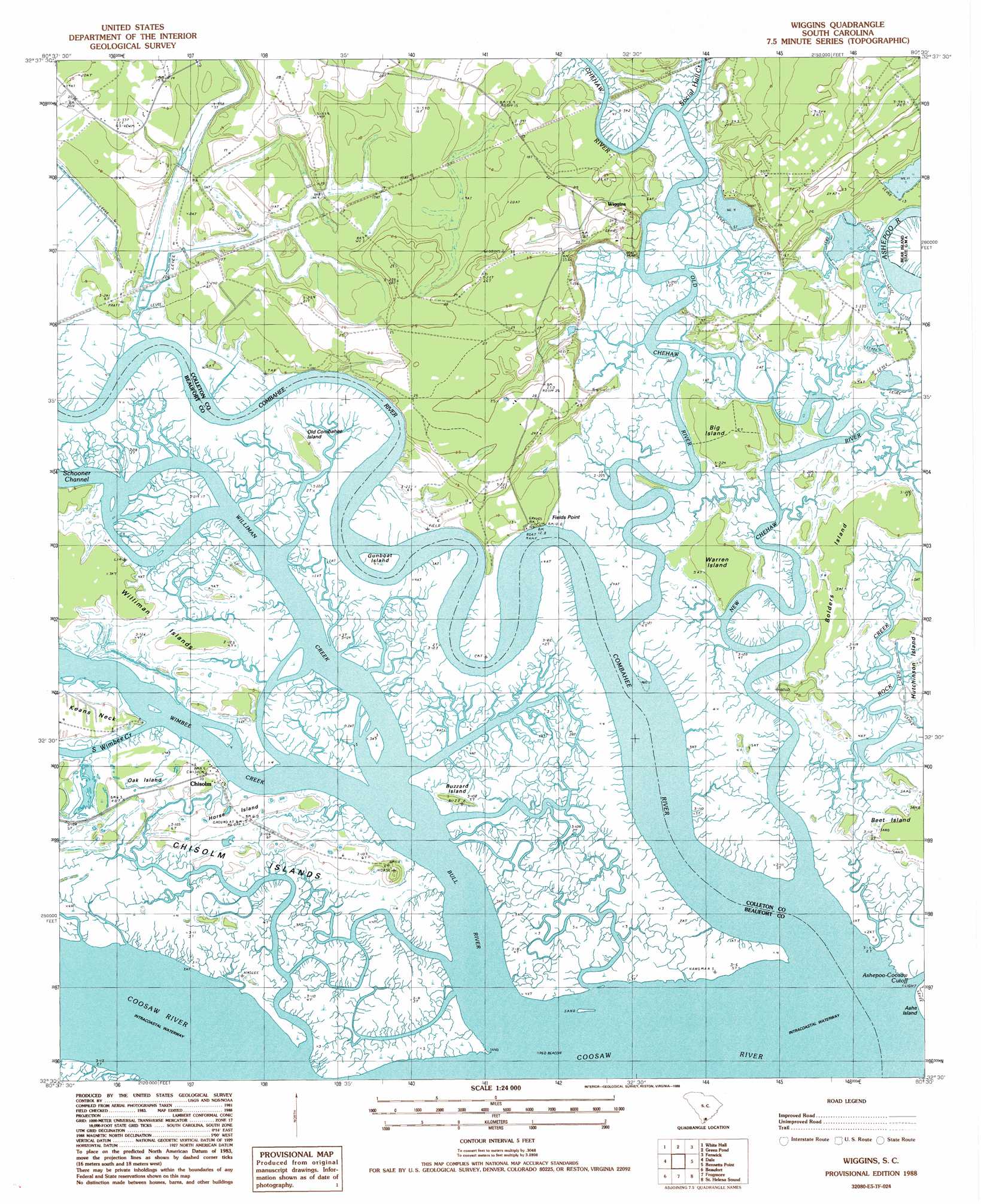
USGS Topo Quad 32080e5 - 1:24,000 scale
| Topo Map Name: | Wiggins |
| USGS Topo Quad ID: | 32080e5 |
| Print Size: | ca. 21 1/4" wide x 27" high |
| Southeast Coordinates: | 32.5° N latitude / 80.5° W longitude |
| Map Center Coordinates: | 32.5625° N latitude / 80.5625° W longitude |
| U.S. State: | SC |
| Filename: | o32080e5.jpg |
| Download Map JPG Image: | Wiggins topo map 1:24,000 scale |
| Map Type: | Topographic |
| Topo Series: | 7.5´ |
| Map Scale: | 1:24,000 |
| Source of Map Images: | United States Geological Survey (USGS) |
| Alternate Map Versions: |
Wiggins SC 1988, updated 1988 Download PDF Buy paper map Wiggins SC 2011 Download PDF Buy paper map Wiggins SC 2014 Download PDF Buy paper map |
1:24,000 Topo Quads surrounding Wiggins
Black Creek |
Hendersonville |
Neyles |
Jacksonboro |
Osborn |
Yemassee |
Whitehall |
Green Pond |
Fenwick |
Adams Run |
Sheldon |
Dale |
Wiggins |
Bennetts Point |
Edisto Island |
Laurel Bay |
Beaufort |
Frogmore |
Saint Helena Sound |
Edisto Beach |
Spring Island |
Parris Island |
Saint Phillips Island |
Fripps Inlet |
> Back to 32080e1 at 1:100,000 scale
> Back to 32080a1 at 1:250,000 scale
> Back to U.S. Topo Maps home
Wiggins topo map: Gazetteer
Wiggins: Capes
Fields Point elevation 3m 9′Summerhouse Point elevation 1m 3′
Wiggins: Cliffs
Tar Bluff elevation 7m 22′Wiggins: Dams
Ashepoo Plantation Pond Dam D-2387 elevation 2m 6′Wiggins: Islands
Big Island elevation 1m 3′Bowles Island elevation 1m 3′
Buzzard Island elevation 1m 3′
Chisolm Islands elevation 1m 3′
Gunboat Island elevation 1m 3′
Horse Island elevation 1m 3′
Oak Island elevation 1m 3′
Old Combahee Island elevation 1m 3′
Warren Island elevation 1m 3′
Wiggins: Populated Places
Chisolm elevation 1m 3′Wiggins elevation 12m 39′
Wiggins: Streams
Bull River elevation 0m 0′Chehaw River elevation 0m 0′
Combahee River elevation 0m 0′
New Chehaw River elevation 0m 0′
Old Chehaw River elevation 0m 0′
Social Hall Creek elevation 2m 6′
South Wimbee Creek elevation 0m 0′
Williman Creek elevation 0m 0′
Wimbee Creek elevation 0m 0′
Wiggins digital topo map on disk
Buy this Wiggins topo map showing relief, roads, GPS coordinates and other geographical features, as a high-resolution digital map file on DVD:
South Carolina, Western North Carolina & Northeastern Georgia
Buy digital topo maps: South Carolina, Western North Carolina & Northeastern Georgia