Dry Branch Topo Map Georgia
To zoom in, hover over the map of Dry Branch
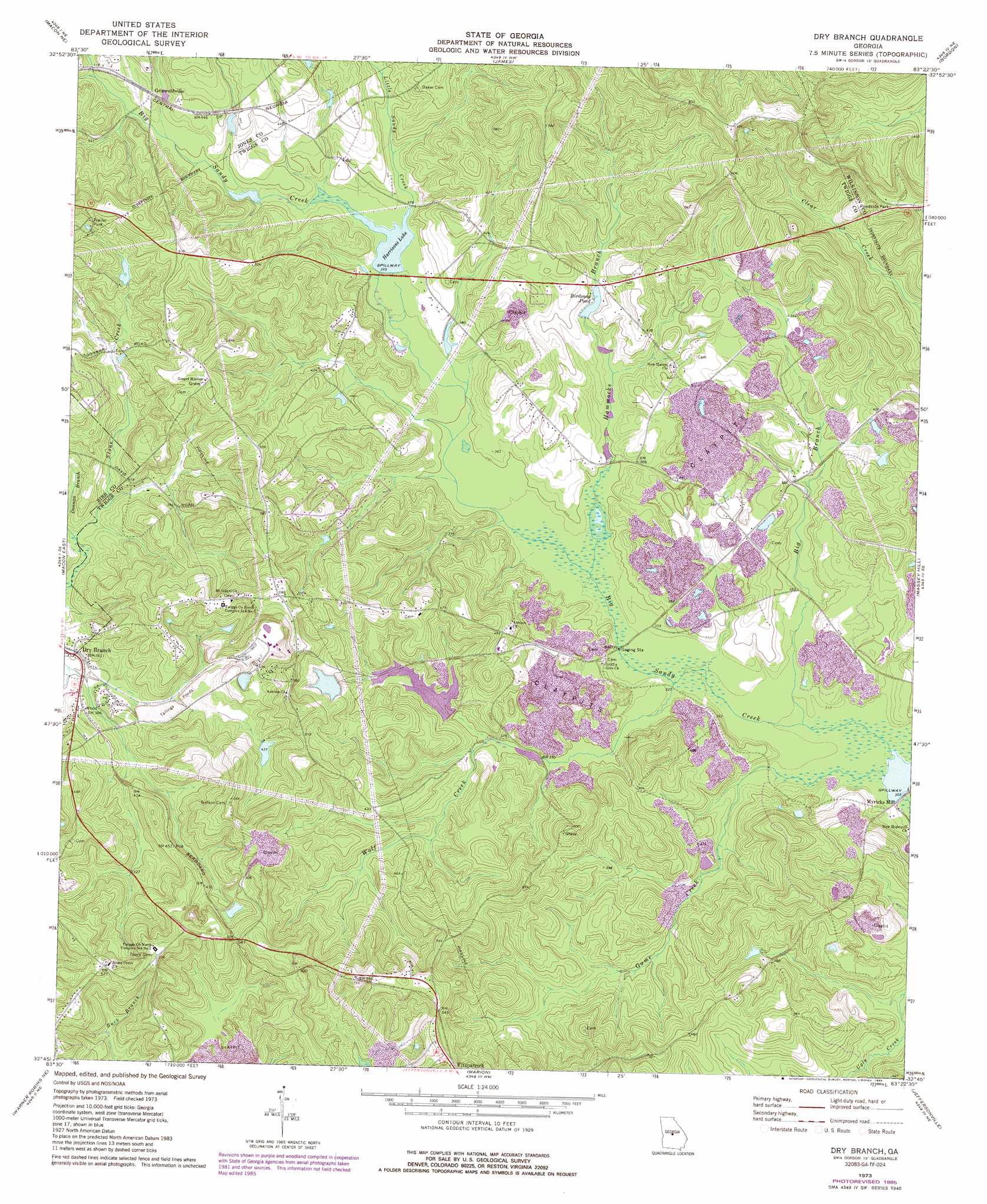
USGS Topo Quad 32083g4 - 1:24,000 scale
| Topo Map Name: | Dry Branch |
| USGS Topo Quad ID: | 32083g4 |
| Print Size: | ca. 21 1/4" wide x 27" high |
| Southeast Coordinates: | 32.75° N latitude / 83.375° W longitude |
| Map Center Coordinates: | 32.8125° N latitude / 83.4375° W longitude |
| U.S. State: | GA |
| Filename: | o32083g4.jpg |
| Download Map JPG Image: | Dry Branch topo map 1:24,000 scale |
| Map Type: | Topographic |
| Topo Series: | 7.5´ |
| Map Scale: | 1:24,000 |
| Source of Map Images: | United States Geological Survey (USGS) |
| Alternate Map Versions: |
Dry Branch GA 1973, updated 1977 Download PDF Buy paper map Dry Branch GA 1973, updated 1985 Download PDF Buy paper map Dry Branch GA 2011 Download PDF Buy paper map Dry Branch GA 2014 Download PDF Buy paper map |
1:24,000 Topo Quads surrounding Dry Branch
Dames Ferry |
Gray |
Haddock |
Browns Crossing |
Milledgeville |
Macon Nw |
Macon Ne |
James |
Gordon |
Napier Pond |
Macon West |
Macon East |
Dry Branch |
Massey Hill |
Irwinton |
Warner Robins Nw |
Warner Robins Ne |
Marion |
Jeffersonville |
Stuckey Boone Lake |
Warner Robins Sw |
Warner Robins Se |
Tarversville |
Danville West |
Danville East |
> Back to 32083e1 at 1:100,000 scale
> Back to 32082a1 at 1:250,000 scale
> Back to U.S. Topo Maps home
Dry Branch topo map: Gazetteer
Dry Branch: Dams
Birdsong Pond Dam elevation 117m 383′Harrisons Lake Dam elevation 114m 374′
Jolly Pond Dam elevation 133m 436′
Myricks Mill Pond Dam elevation 92m 301′
Dry Branch: Populated Places
Dry Branch elevation 110m 360′Griswoldville elevation 132m 433′
Myricks Mill elevation 90m 295′
Dry Branch: Post Offices
Dry Branch Post Office elevation 108m 354′Dry Branch: Reservoirs
Birdsong Pond elevation 117m 383′Harrisons Lake elevation 114m 374′
Jolly Pond elevation 133m 436′
Myricks Millpond elevation 92m 301′
Dry Branch: Streams
Big Branch elevation 94m 308′Donnan Branch elevation 107m 351′
Game Creek elevation 92m 301′
Hammocks Branch elevation 101m 331′
Little Sandy Creek elevation 115m 377′
Wolf Creek elevation 98m 321′
Dry Branch digital topo map on disk
Buy this Dry Branch topo map showing relief, roads, GPS coordinates and other geographical features, as a high-resolution digital map file on DVD:
South Carolina, Western North Carolina & Northeastern Georgia
Buy digital topo maps: South Carolina, Western North Carolina & Northeastern Georgia