Mcewen Draw Topo Map Texas
To zoom in, hover over the map of Mcewen Draw
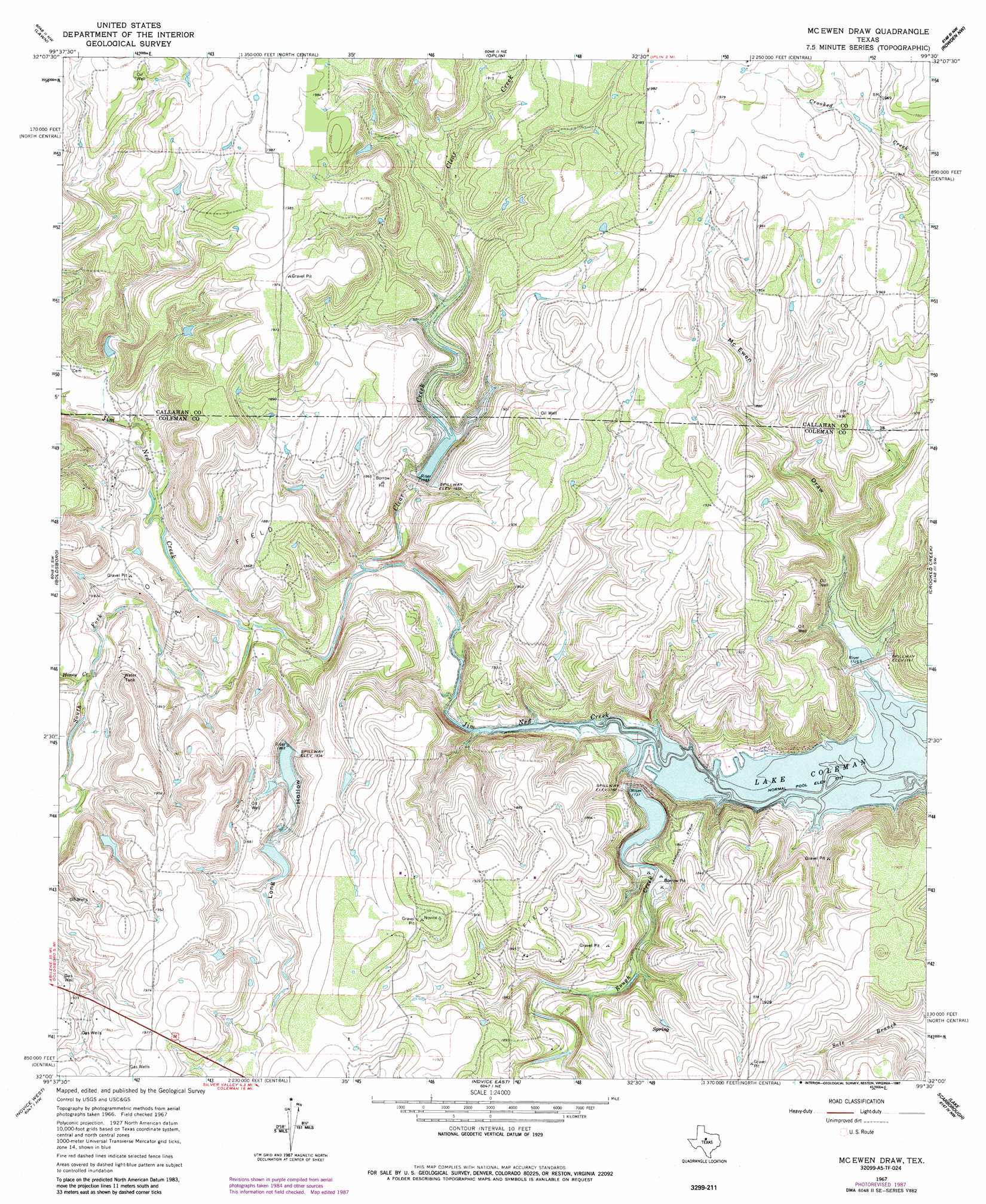
USGS Topo Quad 32099a5 - 1:24,000 scale
| Topo Map Name: | Mcewen Draw |
| USGS Topo Quad ID: | 32099a5 |
| Print Size: | ca. 21 1/4" wide x 27" high |
| Southeast Coordinates: | 32° N latitude / 99.5° W longitude |
| Map Center Coordinates: | 32.0625° N latitude / 99.5625° W longitude |
| U.S. State: | TX |
| Filename: | o32099a5.jpg |
| Download Map JPG Image: | Mcewen Draw topo map 1:24,000 scale |
| Map Type: | Topographic |
| Topo Series: | 7.5´ |
| Map Scale: | 1:24,000 |
| Source of Map Images: | United States Geological Survey (USGS) |
| Alternate Map Versions: |
McEwen Draw TX 1967, updated 1969 Download PDF Buy paper map McEwen Draw TX 1967, updated 1987 Download PDF Buy paper map McEwen Draw TX 2010 Download PDF Buy paper map McEwen Draw TX 2012 Download PDF Buy paper map McEwen Draw TX 2016 Download PDF Buy paper map |
1:24,000 Topo Quads surrounding Mcewen Draw
Buffalo Gap |
Potosi |
Eula |
Cub Hollow |
Admiral |
Tuscola |
Lawn |
Oplin |
Rowden Nw |
Rowden |
Bald Knob |
Goldsboro |
Mcewen Draw |
Crooked Creek |
Webbville |
Crews |
Novice West |
Novice East |
Lake Scarborough |
Coleman Ne |
Benoit |
Talpa |
Valera |
Coleman |
Lake San Tana |
> Back to 32099a1 at 1:100,000 scale
> Back to 32098a1 at 1:250,000 scale
> Back to U.S. Topo Maps home
Mcewen Draw topo map: Gazetteer
Mcewen Draw: Dams
Hudson Lake Dam elevation 561m 1840′Soil Conservation Service Site 11 Dam elevation 526m 1725′
Soil Conservation Service Site 12 Dam elevation 559m 1833′
Soil Conservation Service Site 12f Dam elevation 547m 1794′
Soil Conservation Service Site 21 Dam elevation 538m 1765′
Mcewen Draw: Reservoirs
Hudson Lake elevation 561m 1840′Soil Conservation Service Site 11 Reservoir elevation 526m 1725′
Soil Conservation Service Site 12 Reservoir elevation 559m 1833′
Soil Conservation Service Site 12f Reservoir elevation 547m 1794′
Soil Conservation Service Site 21 Reservoir elevation 538m 1765′
Mcewen Draw: Streams
Clear Creek elevation 530m 1738′Honey Creek elevation 543m 1781′
Rough Creek elevation 523m 1715′
South Fork Jim Ned Creek elevation 533m 1748′
Mcewen Draw: Valleys
Long Hollow elevation 533m 1748′McEwen Draw elevation 537m 1761′
Mcewen Draw digital topo map on disk
Buy this Mcewen Draw topo map showing relief, roads, GPS coordinates and other geographical features, as a high-resolution digital map file on DVD: