Bradshaw Topo Map Texas
To zoom in, hover over the map of Bradshaw
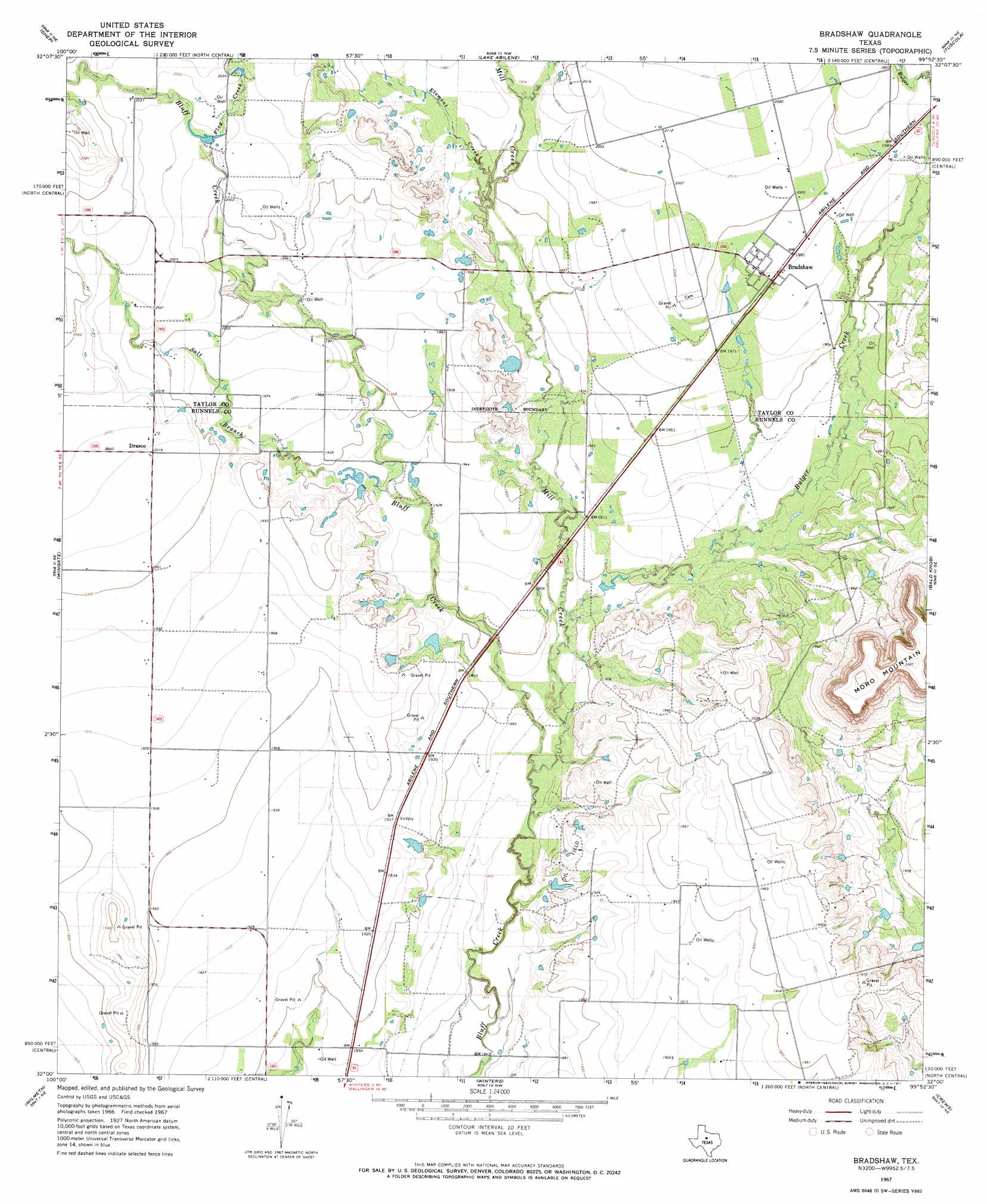
USGS Topo Quad 32099a8 - 1:24,000 scale
| Topo Map Name: | Bradshaw |
| USGS Topo Quad ID: | 32099a8 |
| Print Size: | ca. 21 1/4" wide x 27" high |
| Southeast Coordinates: | 32° N latitude / 99.875° W longitude |
| Map Center Coordinates: | 32.0625° N latitude / 99.9375° W longitude |
| U.S. State: | TX |
| Filename: | o32099a8.jpg |
| Download Map JPG Image: | Bradshaw topo map 1:24,000 scale |
| Map Type: | Topographic |
| Topo Series: | 7.5´ |
| Map Scale: | 1:24,000 |
| Source of Map Images: | United States Geological Survey (USGS) |
| Alternate Map Versions: |
Bradshaw TX 1967, updated 1971 Download PDF Buy paper map Bradshaw TX 2010 Download PDF Buy paper map Bradshaw TX 2012 Download PDF Buy paper map Bradshaw TX 2016 Download PDF Buy paper map |
1:24,000 Topo Quads surrounding Bradshaw
Nolan |
Mountain Pass |
View |
Buffalo Gap |
Potosi |
Hylton |
Shep |
Lake Abilene |
Tuscola |
Lawn |
Church Peak |
Wingate |
Bradshaw |
Bald Knob |
Goldsboro |
Hog Mountain |
Wilmeth |
Winters |
Crews |
Novice West |
Maverick |
Herring Ranch |
Hatchel |
Benoit |
Talpa |
> Back to 32099a1 at 1:100,000 scale
> Back to 32098a1 at 1:250,000 scale
> Back to U.S. Topo Maps home
Bradshaw topo map: Gazetteer
Bradshaw: Dams
Bluff Creek Dam elevation 615m 2017′Downing Dam elevation 592m 1942′
Bradshaw: Populated Places
Bradshaw elevation 607m 1991′Drasco elevation 615m 2017′
Bradshaw: Reservoirs
Bluff Creek Reservoir elevation 615m 2017′Downing Lake elevation 592m 1942′
Bradshaw: Streams
Bulger Creek elevation 573m 1879′Elomont Creek elevation 595m 1952′
Flag Creek elevation 616m 2020′
Mill Creek elevation 567m 1860′
Salt Branch elevation 585m 1919′
Bradshaw digital topo map on disk
Buy this Bradshaw topo map showing relief, roads, GPS coordinates and other geographical features, as a high-resolution digital map file on DVD: