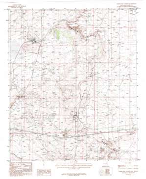
Tower Hill North Topo Map New Mexico
To zoom in, hover over the map of Tower Hill North
USGS Topo Quad 32103e8 - 1:24,000 scale
| Topo Map Name: | Tower Hill North |
| USGS Topo Quad ID: | 32103e8 |
| Print Size: | ca. 21 1/4" wide x 27" high |
| Southeast Coordinates: | 32.5° N latitude / 103.875° W longitude |
| Map Center Coordinates: | 32.5625° N latitude / 103.9375° W longitude |
| U.S. State: | NM |
| Filename: | o32103e8.jpg |
| Download Map JPG Image: | Tower Hill North topo map 1:24,000 scale |
| Map Type: | Topographic |
| Topo Series: | 7.5´ |
| Map Scale: | 1:24,000 |
| Source of Map Images: | United States Geological Survey (USGS) |
| Alternate Map Versions: |
Tower Hill North NM 1985, updated 1985 Download PDF Buy paper map Tower Hill North NM 2010 Download PDF Buy paper map Tower Hill North NM 2013 Download PDF Buy paper map Tower Hill North NM 2017 Download PDF Buy paper map |
1:24,000 Topo Quads surrounding Tower Hill North
> Back to 32103e1 at 1:100,000 scale
> Back to 32102a1 at 1:250,000 scale
> Back to U.S. Topo Maps home
Tower Hill North topo map: Gazetteer
Tower Hill North: Basins
Clayton Basin elevation 982m 3221′Tower Hill North: Mines
Duval Corporation North Mine elevation 1053m 3454′Duval Corporation Saunders Mine elevation 1074m 3523′
PCA Loading Mine elevation 990m 3248′
PCA Mine elevation 990m 3248′
PCA Plant Mine elevation 990m 3248′
Potash Company of America elevation 995m 3264′
Potash Company of America Mine elevation 990m 3248′
Tower Hill North: Ridges
Mimosa Ridge elevation 1028m 3372′Tower Hill North: Summits
Tower Hill elevation 1067m 3500′Tower Hill North: Valleys
Gatuna Canyon elevation 979m 3211′Tower Hill North: Wells
Clayton Wells elevation 975m 3198′Tower Hill North digital topo map on disk
Buy this Tower Hill North topo map showing relief, roads, GPS coordinates and other geographical features, as a high-resolution digital map file on DVD:


