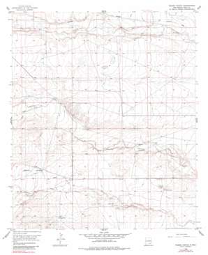
Parish Ranch Topo Map New Mexico
To zoom in, hover over the map of Parish Ranch
USGS Topo Quad 32104f5 - 1:24,000 scale
| Topo Map Name: | Parish Ranch |
| USGS Topo Quad ID: | 32104f5 |
| Print Size: | ca. 21 1/4" wide x 27" high |
| Southeast Coordinates: | 32.625° N latitude / 104.5° W longitude |
| Map Center Coordinates: | 32.6875° N latitude / 104.5625° W longitude |
| U.S. State: | NM |
| Filename: | o32104f5.jpg |
| Download Map JPG Image: | Parish Ranch topo map 1:24,000 scale |
| Map Type: | Topographic |
| Topo Series: | 7.5´ |
| Map Scale: | 1:24,000 |
| Source of Map Images: | United States Geological Survey (USGS) |
| Alternate Map Versions: |
Parish Ranch NM 1956, updated 1957 Download PDF Buy paper map Parish Ranch NM 1956, updated 1981 Download PDF Buy paper map Parish Ranch NM 2010 Download PDF Buy paper map Parish Ranch NM 2013 Download PDF Buy paper map Parish Ranch NM 2017 Download PDF Buy paper map |
1:24,000 Topo Quads surrounding Parish Ranch
> Back to 32104e1 at 1:100,000 scale
> Back to 32104a1 at 1:250,000 scale
> Back to U.S. Topo Maps home
Parish Ranch topo map: Gazetteer
Parish Ranch: Reservoirs
Hoag Tank elevation 1132m 3713′Parish Ranch: Valleys
Cat Claw Draw elevation 1152m 3779′Gardner Draw elevation 1126m 3694′
Red Tank Draw elevation 1137m 3730′
Segrest Draw elevation 1125m 3690′
Siegrest Draw elevation 1095m 3592′
Parish Ranch: Wells
Arnold Well elevation 1117m 3664′Neds Well elevation 1094m 3589′
Stallin Well elevation 1077m 3533′
Parish Ranch digital topo map on disk
Buy this Parish Ranch topo map showing relief, roads, GPS coordinates and other geographical features, as a high-resolution digital map file on DVD:


