Summerford Mountain Topo Map New Mexico
To zoom in, hover over the map of Summerford Mountain
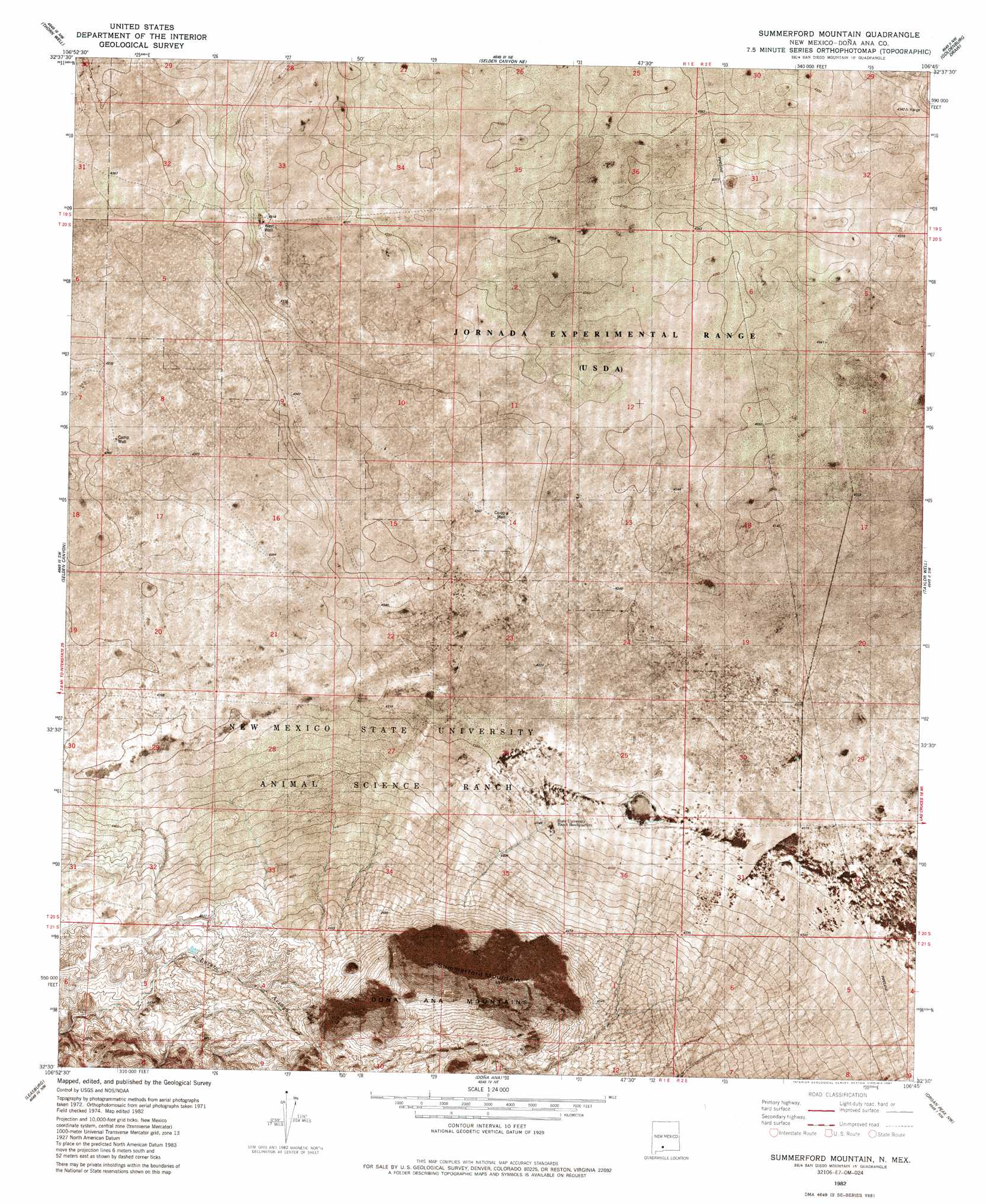
USGS Topo Quad 32106e7 - 1:24,000 scale
| Topo Map Name: | Summerford Mountain |
| USGS Topo Quad ID: | 32106e7 |
| Print Size: | ca. 21 1/4" wide x 27" high |
| Southeast Coordinates: | 32.5° N latitude / 106.75° W longitude |
| Map Center Coordinates: | 32.5625° N latitude / 106.8125° W longitude |
| U.S. State: | NM |
| Filename: | p32106e7.jpg |
| Download Map JPG Image: | Summerford Mountain topo map 1:24,000 scale |
| Map Type: | Orthophoto |
| Topo Series: | 7.5´ |
| Map Scale: | 1:24,000 |
| Source of Map Images: | United States Geological Survey (USGS) |
| Alternate Map Versions: |
Summerford Mountain NM 1982, updated 1982 Download PDF Buy paper map Summerford Mountain NM 1982, updated 1987 Download PDF Buy paper map Summerford Mountain NM 1996, updated 2002 Download PDF Buy paper map Summerford Mountain NM 2010 Download PDF Buy paper map Summerford Mountain NM 2013 Download PDF Buy paper map Summerford Mountain NM 2017 Download PDF Buy paper map |
1:24,000 Topo Quads surrounding Summerford Mountain
Alivio |
Upham Hills |
Gilmore Draw |
Fleck Draw |
Gardner Peak |
Rincon |
Thorn Well |
Seldon Canyon Ne |
Goldenburg Draw |
San Andres Peak |
Sierra Alta |
Seldon Canyon |
Summerford Mountain |
Taylor Well |
Bear Peak |
Rough And Ready Hills |
Leasburg |
Dona Ana |
Organ Peak Nw |
Organ |
Sleeping Lady Hills |
Picacho Mountain |
Las Cruces |
Tortugas Mountain |
Organ Peak |
> Back to 32106e1 at 1:100,000 scale
> Back to 32106a1 at 1:250,000 scale
> Back to U.S. Topo Maps home
Summerford Mountain topo map: Gazetteer
Summerford Mountain: Dams
North Dona Ana Site Dam elevation 1327m 4353′Summerford Mountain: Summits
Summerford Mountain elevation 1776m 5826′Summerford Mountain: Wells
10092 Water Well elevation 1330m 4363′Co-op Well elevation 1330m 4363′
West Well elevation 1317m 4320′
Summerford Mountain digital topo map on disk
Buy this Summerford Mountain topo map showing relief, roads, GPS coordinates and other geographical features, as a high-resolution digital map file on DVD: