Lost River Topo Map New Mexico
To zoom in, hover over the map of Lost River
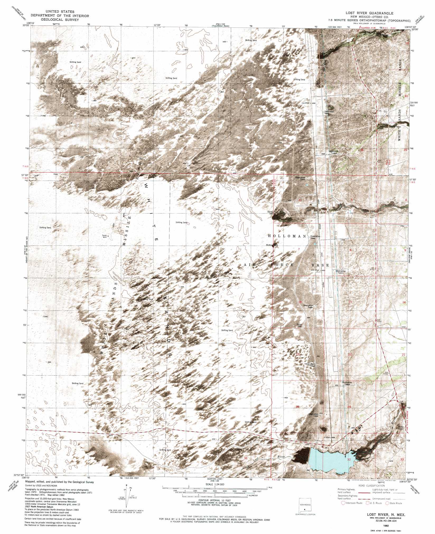
USGS Topo Quad 32106h2 - 1:24,000 scale
| Topo Map Name: | Lost River |
| USGS Topo Quad ID: | 32106h2 |
| Print Size: | ca. 21 1/4" wide x 27" high |
| Southeast Coordinates: | 32.875° N latitude / 106.125° W longitude |
| Map Center Coordinates: | 32.9375° N latitude / 106.1875° W longitude |
| U.S. State: | NM |
| Filename: | p32106h2.jpg |
| Download Map JPG Image: | Lost River topo map 1:24,000 scale |
| Map Type: | Orthophoto |
| Topo Series: | 7.5´ |
| Map Scale: | 1:24,000 |
| Source of Map Images: | United States Geological Survey (USGS) |
| Alternate Map Versions: |
Lost River NM 1982, updated 1982 Download PDF Buy paper map Lost River NM 1982, updated 1987 Download PDF Buy paper map Lost River NM 2010 Download PDF Buy paper map Lost River NM 2013 Download PDF Buy paper map Lost River NM 2017 Download PDF Buy paper map |
1:24,000 Topo Quads surrounding Lost River
Lumley Lake Nw |
Lumley Lake Ne |
Bitter Creek |
Tularosa Ne |
Cat Mountain |
Lumley Lake |
Fifteenmile Lake |
Tularosa Peak |
Tularosa |
Sabinata Flat |
Heart Of The Sands Nw |
Heart Of The Sands Ne |
Lost River |
Malone Draw |
Alamogordo North |
Heart Of The Sands Sw |
Heart Of The Sands |
Garton Lake |
Holloman |
Alamogordo South |
Lake Lucero |
Lake Lucero Ne |
Foster Lake |
Tres Hermanos |
Deadman Canyon |
> Back to 32106e1 at 1:100,000 scale
> Back to 32106a1 at 1:250,000 scale
> Back to U.S. Topo Maps home
Lost River topo map: Gazetteer
Lost River: Areas
White Sands elevation 1220m 4002′Lost River: Lakes
Dry Lake elevation 1220m 4002′Lost River: Ranges
Poorman Range elevation 1240m 4068′Lost River: Valleys
Hay Draw elevation 1244m 4081′Sheep Camp Draw elevation 1249m 4097′
Lost River: Wells
Danley Well elevation 1237m 4058′Lost River digital topo map on disk
Buy this Lost River topo map showing relief, roads, GPS coordinates and other geographical features, as a high-resolution digital map file on DVD: