Heart Of The Sands Ne Topo Map New Mexico
To zoom in, hover over the map of Heart Of The Sands Ne
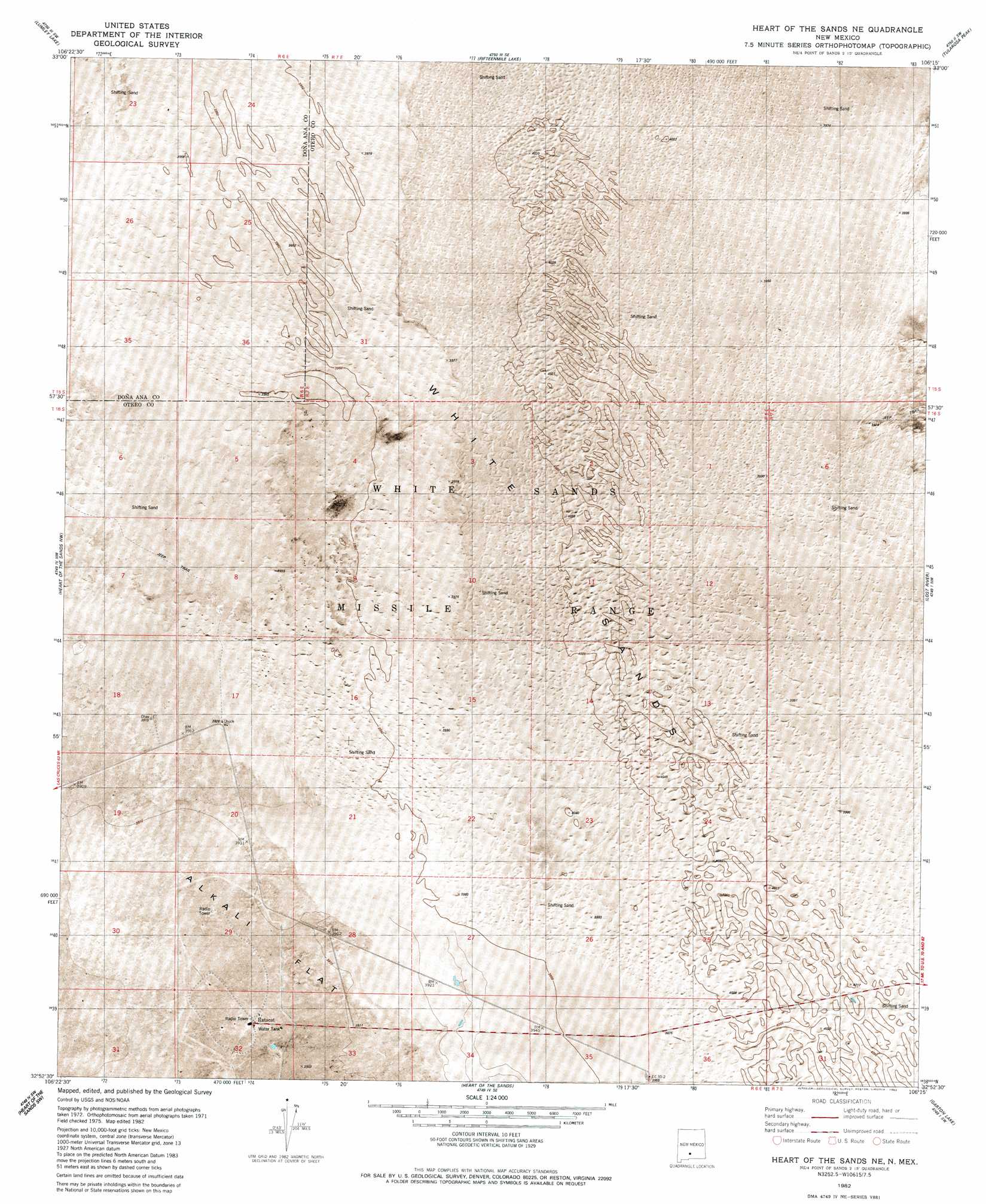
USGS Topo Quad 32106h3 - 1:24,000 scale
| Topo Map Name: | Heart Of The Sands Ne |
| USGS Topo Quad ID: | 32106h3 |
| Print Size: | ca. 21 1/4" wide x 27" high |
| Southeast Coordinates: | 32.875° N latitude / 106.25° W longitude |
| Map Center Coordinates: | 32.9375° N latitude / 106.3125° W longitude |
| U.S. State: | NM |
| Filename: | p32106h3.jpg |
| Download Map JPG Image: | Heart Of The Sands Ne topo map 1:24,000 scale |
| Map Type: | Orthophoto |
| Topo Series: | 7.5´ |
| Map Scale: | 1:24,000 |
| Source of Map Images: | United States Geological Survey (USGS) |
| Alternate Map Versions: |
Heart of the Sands NE NM 1982, updated 1982 Download PDF Buy paper map Heart of the Sands NE NM 2010 Download PDF Buy paper map Heart of the Sands NE NM 2013 Download PDF Buy paper map Heart of the Sands NE NM 2017 Download PDF Buy paper map |
1:24,000 Topo Quads surrounding Heart Of The Sands Ne
Tip Top Canyon |
Lumley Lake Nw |
Lumley Lake Ne |
Bitter Creek |
Tularosa Ne |
Strawberry Peak |
Lumley Lake |
Fifteenmile Lake |
Tularosa Peak |
Tularosa |
Hembrillo Canyon |
Heart Of The Sands Nw |
Heart Of The Sands Ne |
Lost River |
Malone Draw |
Gardner Peak |
Heart Of The Sands Sw |
Heart Of The Sands |
Garton Lake |
Holloman |
San Andres Peak |
Lake Lucero |
Lake Lucero Ne |
Foster Lake |
Tres Hermanos |
> Back to 32106e1 at 1:100,000 scale
> Back to 32106a1 at 1:250,000 scale
> Back to U.S. Topo Maps home
No gazetteer data is available for the Heart Of The Sands Ne topo map sheet.
Heart Of The Sands Ne digital topo map on disk
Buy this Heart Of The Sands Ne topo map showing relief, roads, GPS coordinates and other geographical features, as a high-resolution digital map file on DVD: