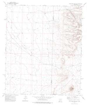
Good Sight Peak Ne Topo Map New Mexico
To zoom in, hover over the map of Good Sight Peak Ne
USGS Topo Quad 32107d3 - 1:24,000 scale
| Topo Map Name: | Good Sight Peak Ne |
| USGS Topo Quad ID: | 32107d3 |
| Print Size: | ca. 21 1/4" wide x 27" high |
| Southeast Coordinates: | 32.375° N latitude / 107.25° W longitude |
| Map Center Coordinates: | 32.4375° N latitude / 107.3125° W longitude |
| U.S. State: | NM |
| Filename: | o32107d3.jpg |
| Download Map JPG Image: | Good Sight Peak Ne topo map 1:24,000 scale |
| Map Type: | Topographic |
| Topo Series: | 7.5´ |
| Map Scale: | 1:24,000 |
| Source of Map Images: | United States Geological Survey (USGS) |
| Alternate Map Versions: |
Good Sight Peak NE NM 1972, updated 1975 Download PDF Buy paper map Good Sight Peak NE NM 2010 Download PDF Buy paper map Good Sight Peak NE NM 2013 Download PDF Buy paper map Good Sight Peak NE NM 2017 Download PDF Buy paper map |
1:24,000 Topo Quads surrounding Good Sight Peak Ne
> Back to 32107a1 at 1:100,000 scale
> Back to 32106a1 at 1:250,000 scale
> Back to U.S. Topo Maps home
Good Sight Peak Ne topo map: Gazetteer
Good Sight Peak Ne: Reservoirs
Howard Tank elevation 1421m 4662′Good Sight Peak Ne: Summits
Massacre Peak elevation 1608m 5275′Good Sight Peak Ne: Valleys
Pine Canyon elevation 1421m 4662′Good Sight Peak Ne: Wells
01202 Water Well elevation 1425m 4675′05001 Water Well elevation 1380m 4527′
05002 Water Well elevation 1389m 4557′
05003 Water Well elevation 1387m 4550′
05012 Water Well elevation 1385m 4543′
10016 Water Well elevation 1383m 4537′
10018 Water Well elevation 1380m 4527′
10019 Water Well elevation 1384m 4540′
10020 Water Well elevation 1390m 4560′
10021 Water Well elevation 1391m 4563′
10460 Water Well elevation 1379m 4524′
10461 Water Well elevation 1388m 4553′
10462 Water Well elevation 1390m 4560′
10463 Water Well elevation 1394m 4573′
10464 Water Well elevation 1410m 4625′
10465 Water Well elevation 1387m 4550′
10466 Water Well elevation 1383m 4537′
10467 Water Well elevation 1389m 4557′
10475 Water Well elevation 1412m 4632′
NH 54 Water Well elevation 1407m 4616′
NH 59 5 Water Well elevation 1383m 4537′
Number 1201 Water Well elevation 1393m 4570′
Good Sight Peak Ne digital topo map on disk
Buy this Good Sight Peak Ne topo map showing relief, roads, GPS coordinates and other geographical features, as a high-resolution digital map file on DVD:


