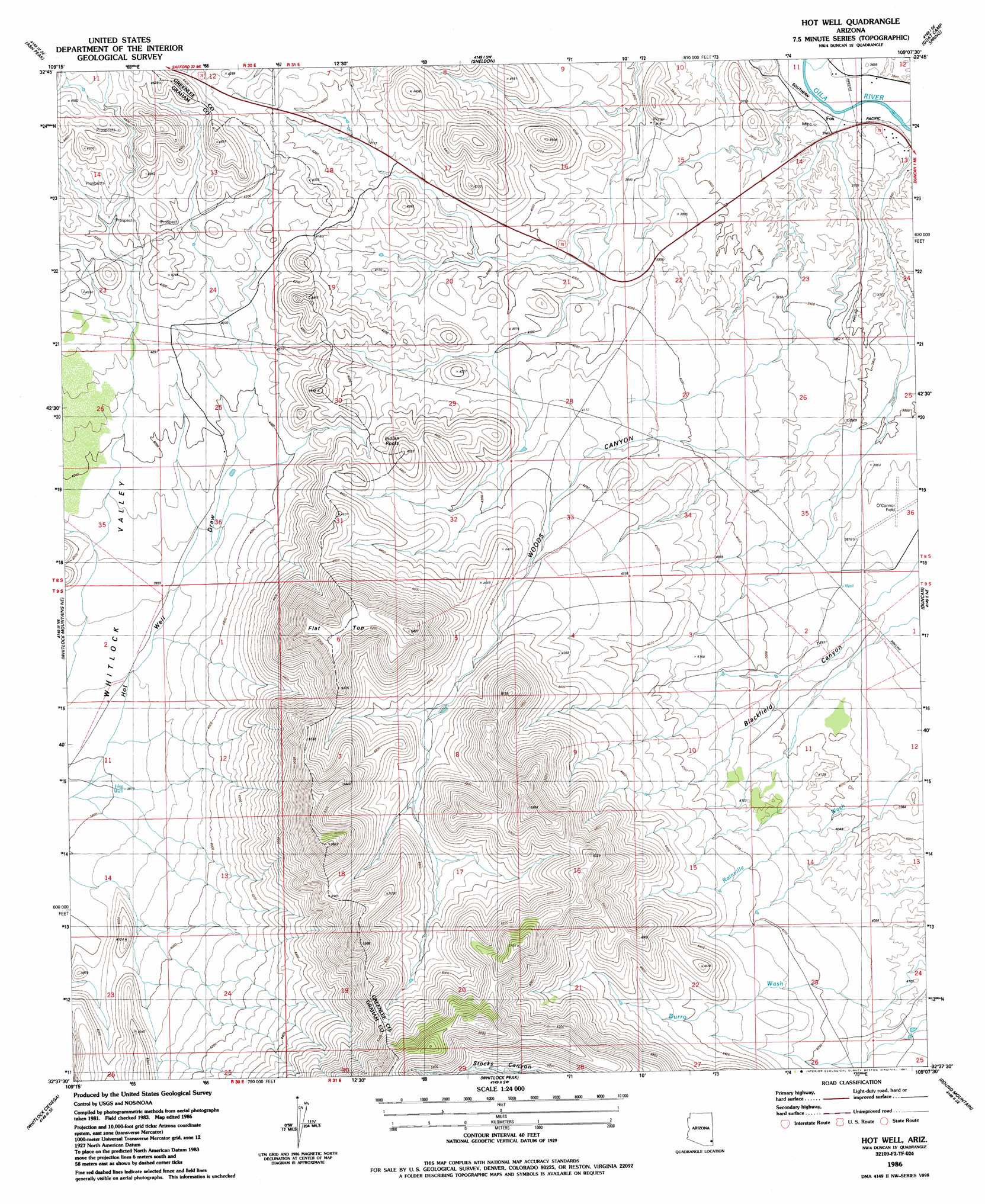
Hot Well Topo Map Arizona
To zoom in, hover over the map of Hot Well
USGS Topo Quad 32109f2 - 1:24,000 scale
| Topo Map Name: | Hot Well |
| USGS Topo Quad ID: | 32109f2 |
| Print Size: | ca. 21 1/4" wide x 27" high |
| Southeast Coordinates: | 32.625° N latitude / 109.125° W longitude |
| Map Center Coordinates: | 32.6875° N latitude / 109.1875° W longitude |
| U.S. State: | AZ |
| Filename: | o32109f2.jpg |
| Download Map JPG Image: | Hot Well topo map 1:24,000 scale |
| Map Type: | Topographic |
| Topo Series: | 7.5´ |
| Map Scale: | 1:24,000 |
| Source of Map Images: | United States Geological Survey (USGS) |
| Alternate Map Versions: |
Hot Well AZ 1986, updated 1987 Download PDF Buy paper map Hot Well AZ 2011 Download PDF Buy paper map Hot Well AZ 2014 Download PDF Buy paper map |
1:24,000 Topo Quads surrounding Hot Well
Gila Box |
Guthrie |
York |
Tillie Hall Peak |
Crookson Peak |
Tollgate Tank |
Ash Peak |
Sheldon |
Goat Camp Spring |
Steeple Rock |
Dry Mountain |
Whitlock Mountains Ne |
Hot Well |
Duncan |
Canador Peak |
Javelina Peak |
Whitlock Cienega |
Whitlock Peak |
Round Mountain |
Rock Tank Draw |
Ryan Draw |
Martin Well |
Orange Butte |
Engine Mountain |
Summit |
> Back to 32109e1 at 1:100,000 scale
> Back to 32108a1 at 1:250,000 scale
> Back to U.S. Topo Maps home
Hot Well topo map: Gazetteer
Hot Well: Airports
Duncan Municipal Airport elevation 1176m 3858′Hot Well: Populated Places
Fox elevation 1105m 3625′Hot Well: Summits
Flat Top elevation 1618m 5308′Indian Rocks elevation 1381m 4530′
Hot Well: Valleys
Woods Canyon elevation 1116m 3661′Hot Well: Wells
Hot Well elevation 1164m 3818′Malapais Tank elevation 1165m 3822′
Hot Well digital topo map on disk
Buy this Hot Well topo map showing relief, roads, GPS coordinates and other geographical features, as a high-resolution digital map file on DVD: