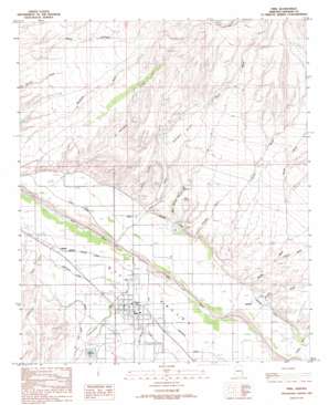
Pima Topo Map Arizona
To zoom in, hover over the map of Pima
USGS Topo Quad 32109h7 - 1:24,000 scale
| Topo Map Name: | Pima |
| USGS Topo Quad ID: | 32109h7 |
| Print Size: | ca. 21 1/4" wide x 27" high |
| Southeast Coordinates: | 32.875° N latitude / 109.75° W longitude |
| Map Center Coordinates: | 32.9375° N latitude / 109.8125° W longitude |
| U.S. State: | AZ |
| Filename: | o32109h7.jpg |
| Download Map JPG Image: | Pima topo map 1:24,000 scale |
| Map Type: | Topographic |
| Topo Series: | 7.5´ |
| Map Scale: | 1:24,000 |
| Source of Map Images: | United States Geological Survey (USGS) |
| Alternate Map Versions: |
Pima AZ 1985, updated 1986 Download PDF Buy paper map Pima AZ 2011 Download PDF Buy paper map Pima AZ 2014 Download PDF Buy paper map |
1:24,000 Topo Quads surrounding Pima
> Back to 32109e1 at 1:100,000 scale
> Back to 32108a1 at 1:250,000 scale
> Back to U.S. Topo Maps home
Pima topo map: Gazetteer
Pima: Canals
Graham Canal elevation 874m 2867′Pima: Dams
Billingsley Dam elevation 884m 2900′Chesley-Wamslee Dam elevation 881m 2890′
Howard Dam elevation 876m 2874′
Lee Dam elevation 896m 2939′
Rogers Reservoir Dam elevation 891m 2923′
Pima: Flats
Rocky Flat elevation 980m 3215′Pima: Populated Places
Bryce elevation 861m 2824′Dublin elevation 869m 2851′
Glenbar elevation 854m 2801′
Kimball elevation 878m 2880′
Pima elevation 865m 2837′
Pima: Post Offices
Pima Post Office elevation 866m 2841′Pima: Reservoirs
Rogers Reservoir elevation 892m 2926′Pima: Springs
Big Spring elevation 920m 3018′East Spring elevation 916m 3005′
Little Spring elevation 917m 3008′
Mud Spring elevation 915m 3001′
Pima: Streams
Ash Creek elevation 854m 2801′Big Spring Wash elevation 864m 2834′
Billingsley Creek elevation 842m 2762′
Butler Wash elevation 866m 2841′
Chesley Wash elevation 892m 2926′
Cottonwood Wash elevation 852m 2795′
Coyote Wash elevation 907m 2975′
Holyoke Wash elevation 865m 2837′
Patterson Wash elevation 853m 2798′
Peck Wash elevation 851m 2791′
Talley Wash elevation 869m 2851′
Watson Wash elevation 869m 2851′
Pima: Valleys
Bluff Hollow elevation 869m 2851′Mud Hollow elevation 870m 2854′
Pima: Wells
Mack Well elevation 850m 2788′Pima digital topo map on disk
Buy this Pima topo map showing relief, roads, GPS coordinates and other geographical features, as a high-resolution digital map file on DVD:


