Steele Hills Topo Map Arizona
To zoom in, hover over the map of Steele Hills
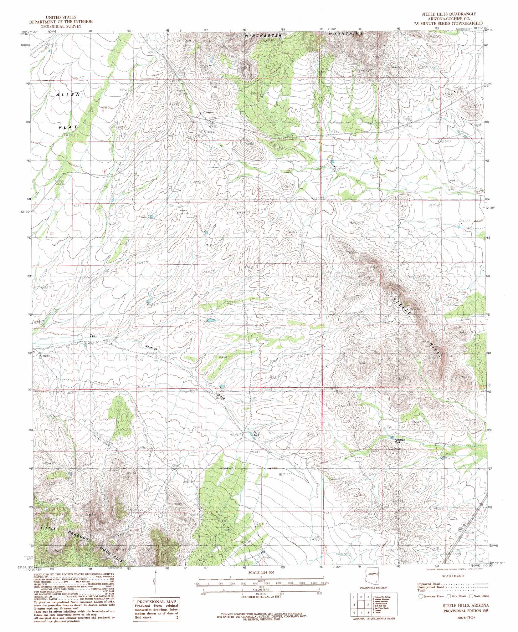
USGS Topo Quad 32110b1 - 1:24,000 scale
| Topo Map Name: | Steele Hills |
| USGS Topo Quad ID: | 32110b1 |
| Print Size: | ca. 21 1/4" wide x 27" high |
| Southeast Coordinates: | 32.125° N latitude / 110° W longitude |
| Map Center Coordinates: | 32.1875° N latitude / 110.0625° W longitude |
| U.S. State: | AZ |
| Filename: | o32110b1.jpg |
| Download Map JPG Image: | Steele Hills topo map 1:24,000 scale |
| Map Type: | Topographic |
| Topo Series: | 7.5´ |
| Map Scale: | 1:24,000 |
| Source of Map Images: | United States Geological Survey (USGS) |
| Alternate Map Versions: |
Steele Hills AZ 1985, updated 1985 Download PDF Buy paper map Steele Hills AZ 1996, updated 2002 Download PDF Buy paper map Steele Hills AZ 2011 Download PDF Buy paper map Steele Hills AZ 2014 Download PDF Buy paper map |
1:24,000 Topo Quads surrounding Steele Hills
Cherry Spring Peak |
The Mesas |
Reiley Peak |
West Of Greasewood Mountain |
Greasewood Mountain |
Soza Mesa |
Hookers Hot Springs |
Muskhog Mountain |
Square Mountain |
Willcox North |
Wildhorse Mountain |
Deepwell Ranch |
Steele Hills |
Red Bird Hills |
Willcox South |
Galleta Flat East |
San Pedro Ranch |
Dragoon |
Cochise |
Sulphur Spring |
Benson |
Saint David |
Knob Hill |
Cochise Stronghold |
Pearce |
> Back to 32110a1 at 1:100,000 scale
> Back to 32110a1 at 1:250,000 scale
> Back to U.S. Topo Maps home
Steele Hills topo map: Gazetteer
Steele Hills: Gaps
Nugents Pass elevation 1400m 4593′Steele Hills: Reservoirs
Antelope Tank elevation 1391m 4563′Steele Hills: Ridges
Steele Hills elevation 1586m 5203′Steele Hills digital topo map on disk
Buy this Steele Hills topo map showing relief, roads, GPS coordinates and other geographical features, as a high-resolution digital map file on DVD: