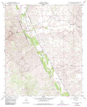
Lookout Mountain Topo Map Arizona
To zoom in, hover over the map of Lookout Mountain
USGS Topo Quad 32110g6 - 1:24,000 scale
| Topo Map Name: | Lookout Mountain |
| USGS Topo Quad ID: | 32110g6 |
| Print Size: | ca. 21 1/4" wide x 27" high |
| Southeast Coordinates: | 32.75° N latitude / 110.625° W longitude |
| Map Center Coordinates: | 32.8125° N latitude / 110.6875° W longitude |
| U.S. State: | AZ |
| Filename: | o32110g6.jpg |
| Download Map JPG Image: | Lookout Mountain topo map 1:24,000 scale |
| Map Type: | Topographic |
| Topo Series: | 7.5´ |
| Map Scale: | 1:24,000 |
| Source of Map Images: | United States Geological Survey (USGS) |
| Alternate Map Versions: |
Lookout Mtn AZ 1949, updated 1963 Download PDF Buy paper map Lookout Mtn AZ 1949, updated 1973 Download PDF Buy paper map Lookout Mtn AZ 1949, updated 1985 Download PDF Buy paper map Lookout Mtn AZ 1950 Download PDF Buy paper map Lookout Mountain AZ 2011 Download PDF Buy paper map Lookout Mountain AZ 2014 Download PDF Buy paper map |
1:24,000 Topo Quads surrounding Lookout Mountain
> Back to 32110e1 at 1:100,000 scale
> Back to 32110a1 at 1:250,000 scale
> Back to U.S. Topo Maps home
Lookout Mountain topo map: Gazetteer
Lookout Mountain: Streams
Aravaipa Creek elevation 658m 2158′Capgage Wash elevation 679m 2227′
Cronley Wash elevation 695m 2280′
Putnam Wash elevation 657m 2155′
Zapata Wash elevation 684m 2244′
Lookout Mountain: Summits
Lookout Mountain elevation 908m 2979′Lookout Mountain: Swamps
Cooks Lake elevation 640m 2099′Lookout Mountain: Valleys
Aravaipa Canyon elevation 705m 2312′Javelina Wash elevation 659m 2162′
Pearl Wash elevation 695m 2280′
Lookout Mountain digital topo map on disk
Buy this Lookout Mountain topo map showing relief, roads, GPS coordinates and other geographical features, as a high-resolution digital map file on DVD:


