Vopoki Ridge Se Topo Map Arizona
To zoom in, hover over the map of Vopoki Ridge Se
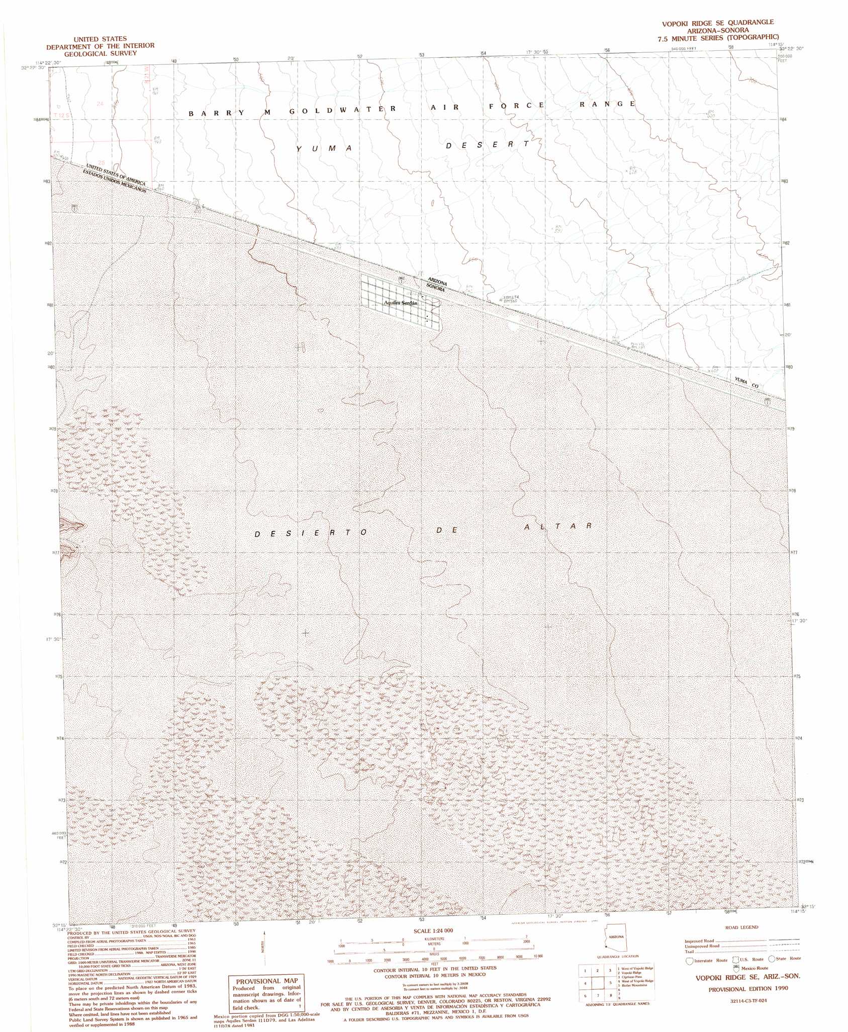
USGS Topo Quad 32114c3 - 1:24,000 scale
| Topo Map Name: | Vopoki Ridge Se |
| USGS Topo Quad ID: | 32114c3 |
| Print Size: | ca. 21 1/4" wide x 27" high |
| Southeast Coordinates: | 32.25° N latitude / 114.25° W longitude |
| Map Center Coordinates: | 32.3125° N latitude / 114.3125° W longitude |
| U.S. State: | AZ |
| Filename: | o32114c3.jpg |
| Download Map JPG Image: | Vopoki Ridge Se topo map 1:24,000 scale |
| Map Type: | Topographic |
| Topo Series: | 7.5´ |
| Map Scale: | 1:24,000 |
| Source of Map Images: | United States Geological Survey (USGS) |
| Alternate Map Versions: |
Vopoki Ridge SE AZ 1990, updated 1991 Download PDF Buy paper map Vopoki Ridge SE AZ 2011 Download PDF Buy paper map Vopoki Ridge SE AZ 2014 Download PDF Buy paper map |
1:24,000 Topo Quads surrounding Vopoki Ridge Se
Yuma Se |
Fortuna Sw |
Fortuna Mine |
Wellton Hills |
Wellton Se |
Southeast Of Somerton |
West Of Vopoki Ridge |
Vopoki Ridge |
Cipriano Pass |
Raven Butte |
Vopoki Ridge Se |
Butler Mountains |
Tinajas Altas |
||
> Back to 32114a1 at 1:100,000 scale
> Back to 32114a1 at 1:250,000 scale
> Back to U.S. Topo Maps home
No gazetteer data is available for the Vopoki Ridge Se topo map sheet.
Vopoki Ridge Se digital topo map on disk
Buy this Vopoki Ridge Se topo map showing relief, roads, GPS coordinates and other geographical features, as a high-resolution digital map file on DVD: