Grays Well Topo Map California
To zoom in, hover over the map of Grays Well
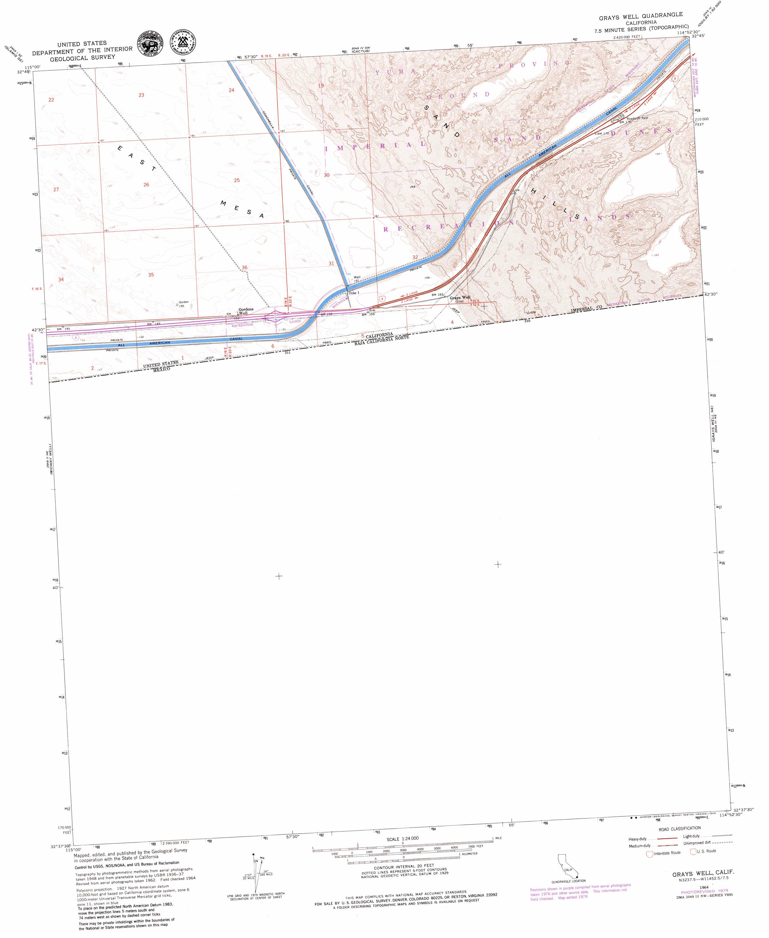
USGS Topo Quad 32114f8 - 1:24,000 scale
| Topo Map Name: | Grays Well |
| USGS Topo Quad ID: | 32114f8 |
| Print Size: | ca. 21 1/4" wide x 27" high |
| Southeast Coordinates: | 32.625° N latitude / 114.875° W longitude |
| Map Center Coordinates: | 32.6875° N latitude / 114.9375° W longitude |
| U.S. State: | CA |
| Filename: | o32114f8.jpg |
| Download Map JPG Image: | Grays Well topo map 1:24,000 scale |
| Map Type: | Topographic |
| Topo Series: | 7.5´ |
| Map Scale: | 1:24,000 |
| Source of Map Images: | United States Geological Survey (USGS) |
| Alternate Map Versions: |
Grays Well CA 1953, updated 1954 Download PDF Buy paper map Grays Well CA 1953, updated 1954 Download PDF Buy paper map Grays Well CA 1964, updated 1972 Download PDF Buy paper map Grays Well CA 1964, updated 1979 Download PDF Buy paper map Grays Well CA 2012 Download PDF Buy paper map Grays Well CA 2015 Download PDF Buy paper map |
1:24,000 Topo Quads surrounding Grays Well
Glamis Nw |
Glamis |
Clyde |
Hedges |
Picacho Peak |
Glamis Sw |
Glamis Se |
Cactus |
Ogilby |
Araz |
Midway Well Nw |
Midway Well |
Grays Well |
Grays Well Ne |
Yuma West |
Somerton |
||||
South Of Somerton |
> Back to 32114e1 at 1:100,000 scale
> Back to 32114a1 at 1:250,000 scale
> Back to U.S. Topo Maps home
Grays Well topo map: Gazetteer
Grays Well: Falls
Drop One elevation 49m 160′Grays Well: Valleys
Imperial Valley elevation 46m 150′Grays Well digital topo map on disk
Buy this Grays Well topo map showing relief, roads, GPS coordinates and other geographical features, as a high-resolution digital map file on DVD: