Middle Mountains South Topo Map Arizona
To zoom in, hover over the map of Middle Mountains South
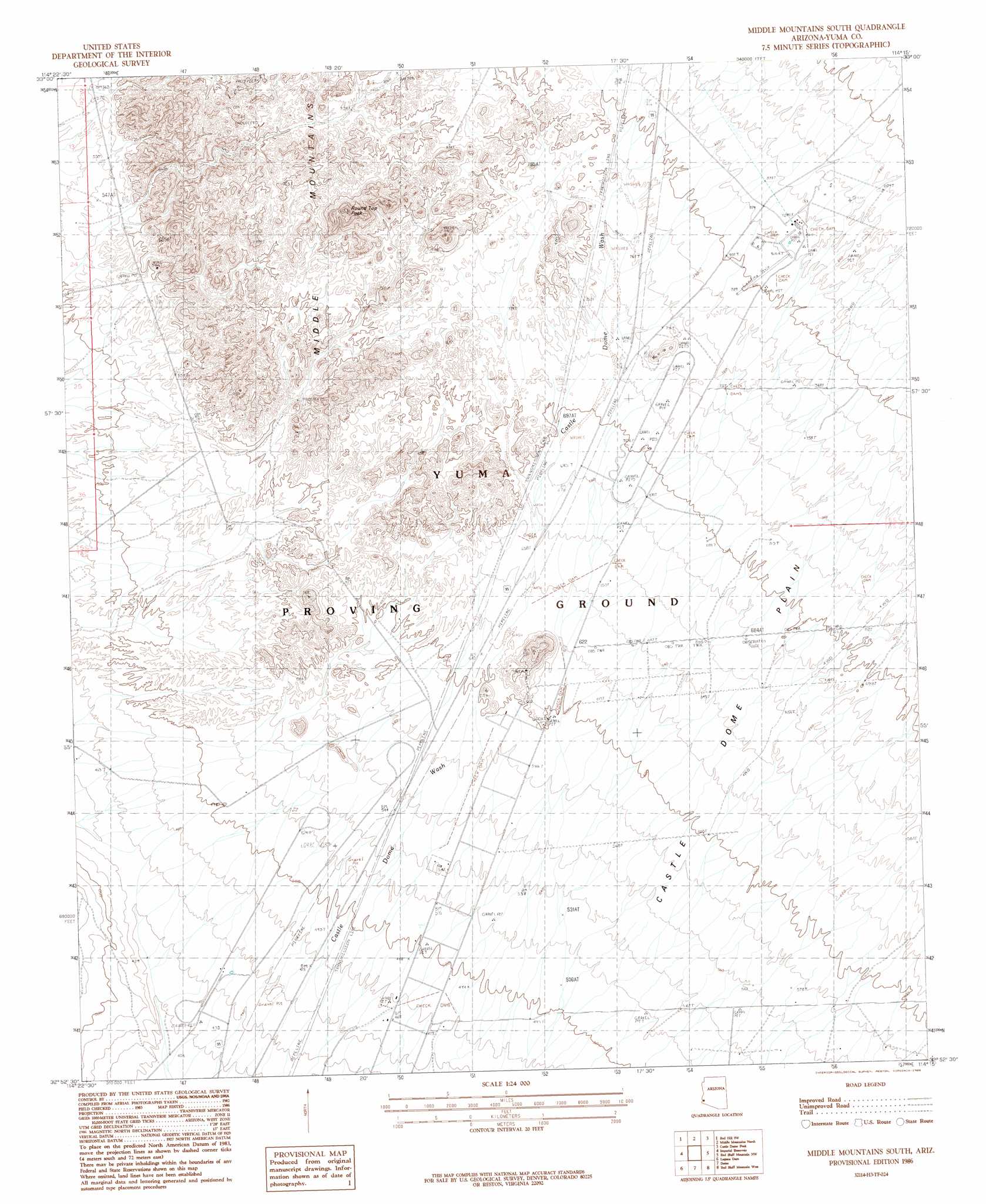
USGS Topo Quad 32114h3 - 1:24,000 scale
| Topo Map Name: | Middle Mountains South |
| USGS Topo Quad ID: | 32114h3 |
| Print Size: | ca. 21 1/4" wide x 27" high |
| Southeast Coordinates: | 32.875° N latitude / 114.25° W longitude |
| Map Center Coordinates: | 32.9375° N latitude / 114.3125° W longitude |
| U.S. State: | AZ |
| Filename: | o32114h3.jpg |
| Download Map JPG Image: | Middle Mountains South topo map 1:24,000 scale |
| Map Type: | Topographic |
| Topo Series: | 7.5´ |
| Map Scale: | 1:24,000 |
| Source of Map Images: | United States Geological Survey (USGS) |
| Alternate Map Versions: |
Middle Mountains South AZ 1986, updated 1986 Download PDF Buy paper map Middle Mountains South AZ 2011 Download PDF Buy paper map Middle Mountains South AZ 2014 Download PDF Buy paper map |
1:24,000 Topo Quads surrounding Middle Mountains South
Hidden Valley |
Red Hill |
Red Hill Ne |
Arch Tank |
Kofa Deep Well |
Picacho |
Red Hill Sw |
Middle Mountains North |
Castle Dome Peak |
Slumgullion Pass |
Little Picacho Peak |
Imperial Reservoir |
Middle Mountains South |
Red Bluff Mountain Nw |
Salton Tanks |
Bard |
Laguna Dam |
Dome |
Red Bluff Mountain West |
Red Bluff Mountain East |
Yuma East |
Fortuna |
Ligurta |
Wellton |
Wellton Mesa |
> Back to 32114e1 at 1:100,000 scale
> Back to 32114a1 at 1:250,000 scale
> Back to U.S. Topo Maps home
Middle Mountains South topo map: Gazetteer
Middle Mountains South: Arches
Natural Arch elevation 313m 1026′Middle Mountains South digital topo map on disk
Buy this Middle Mountains South topo map showing relief, roads, GPS coordinates and other geographical features, as a high-resolution digital map file on DVD: