Surfside Beach Topo Map South Carolina
To zoom in, hover over the map of Surfside Beach
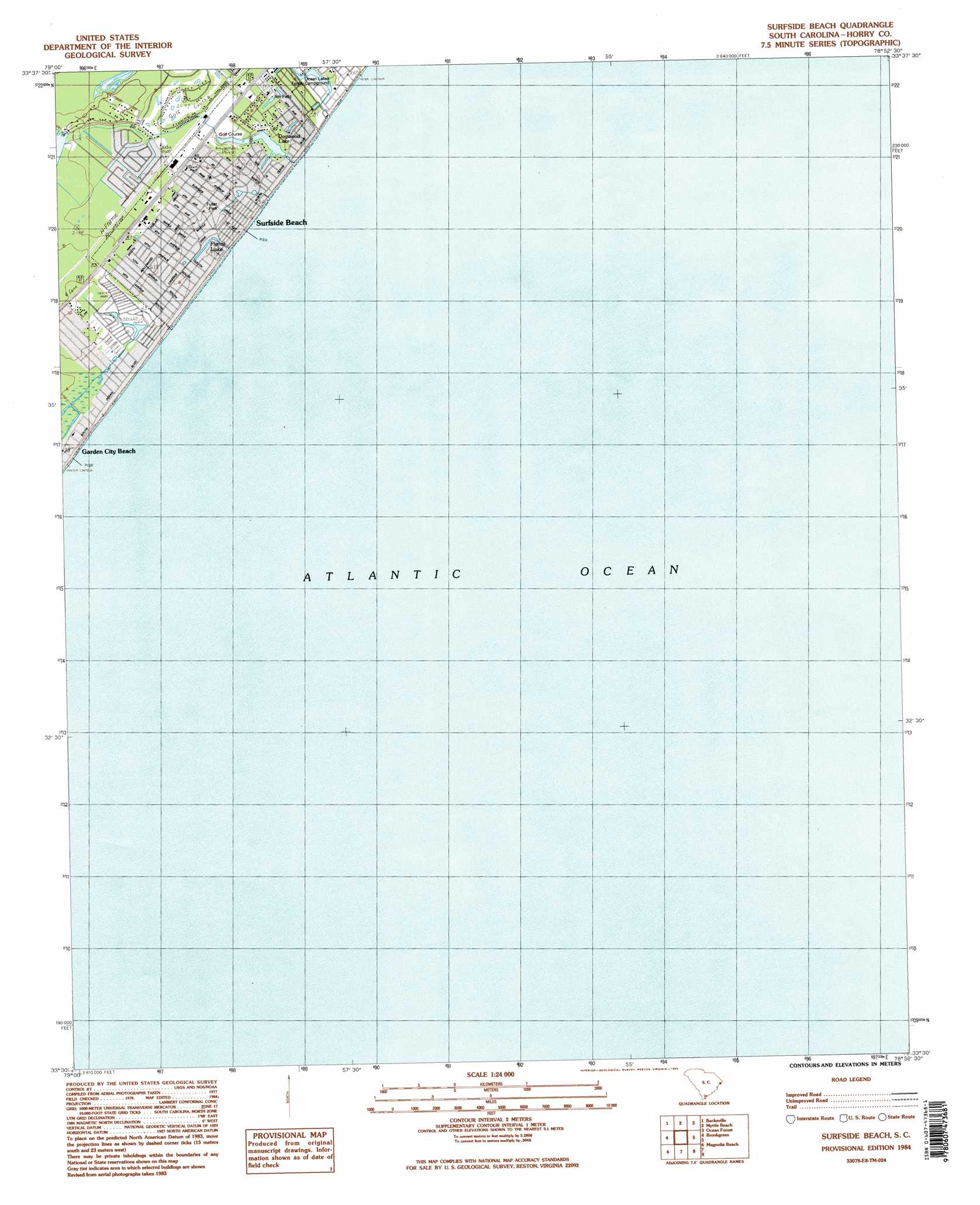
USGS Topo Quad 33078e8 - 1:24,000 scale
| Topo Map Name: | Surfside Beach |
| USGS Topo Quad ID: | 33078e8 |
| Print Size: | ca. 21 1/4" wide x 27" high |
| Southeast Coordinates: | 33.5° N latitude / 78.875° W longitude |
| Map Center Coordinates: | 33.5625° N latitude / 78.9375° W longitude |
| U.S. State: | SC |
| Filename: | o33078e8.jpg |
| Download Map JPG Image: | Surfside Beach topo map 1:24,000 scale |
| Map Type: | Topographic |
| Topo Series: | 7.5´ |
| Map Scale: | 1:24,000 |
| Source of Map Images: | United States Geological Survey (USGS) |
| Alternate Map Versions: |
Surfside Beach SC 1984, updated 1985 Download PDF Buy paper map Surfside Beach SC 1984, updated 1985 Download PDF Buy paper map Surfside Beach SC 2011 Download PDF Buy paper map Surfside Beach SC 2014 Download PDF Buy paper map |
1:24,000 Topo Quads surrounding Surfside Beach
Dongola |
Conway |
Nixonville |
Hand |
Wampee |
Yauhannah |
Bucksville |
Myrtle Beach |
Ocean Forest |
|
Plantersville |
Brookgreen |
Surfside Beach |
||
Waverly Mills |
Magnolia Beach |
|||
North Island |
> Back to 33078e1 at 1:100,000 scale
> Back to 33078a1 at 1:250,000 scale
> Back to U.S. Topo Maps home
Surfside Beach topo map: Gazetteer
Surfside Beach: Bays
Long Bay elevation -3m -10′Surfside Beach: Populated Places
Caropine elevation 8m 26′Longleaf elevation 10m 32′
Oceanside Village elevation 4m 13′
Seacroft elevation 8m 26′
Surf Pines elevation 8m 26′
Surfside Beach elevation 3m 9′
Surfside Beach: Post Offices
Surfside Beach Post Office elevation 8m 26′Surfside Beach: Reservoirs
Dogwood Lake elevation 3m 9′Floral Lake elevation 3m 9′
Surfside Beach digital topo map on disk
Buy this Surfside Beach topo map showing relief, roads, GPS coordinates and other geographical features, as a high-resolution digital map file on DVD:
South Carolina, Western North Carolina & Northeastern Georgia
Buy digital topo maps: South Carolina, Western North Carolina & Northeastern Georgia