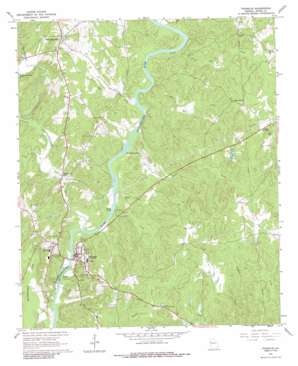
Franklin Topo Map Georgia
To zoom in, hover over the map of Franklin
USGS Topo Quad 33085c1 - 1:24,000 scale
| Topo Map Name: | Franklin |
| USGS Topo Quad ID: | 33085c1 |
| Print Size: | ca. 21 1/4" wide x 27" high |
| Southeast Coordinates: | 33.25° N latitude / 85° W longitude |
| Map Center Coordinates: | 33.3125° N latitude / 85.0625° W longitude |
| U.S. State: | GA |
| Filename: | o33085c1.jpg |
| Download Map JPG Image: | Franklin topo map 1:24,000 scale |
| Map Type: | Topographic |
| Topo Series: | 7.5´ |
| Map Scale: | 1:24,000 |
| Source of Map Images: | United States Geological Survey (USGS) |
| Alternate Map Versions: |
Franklin GA 1964, updated 1987 Download PDF Buy paper map Franklin GA 2011 Download PDF Buy paper map Franklin GA 2014 Download PDF Buy paper map |
1:24,000 Topo Quads surrounding Franklin
> Back to 33085a1 at 1:100,000 scale
> Back to 33084a1 at 1:250,000 scale
> Back to U.S. Topo Maps home
Franklin topo map: Gazetteer
Franklin: Bars
Bush Head Shoals elevation 195m 639′Daniel Shoals elevation 195m 639′
Franklin: Bridges
Franklin Bridge elevation 194m 636′Franklin: Dams
Turners Lake Dam elevation 222m 728′Franklin: Parks
Franklin City Park elevation 233m 764′Franklin: Populated Places
Centralhatchee elevation 258m 846′Enon Grove elevation 255m 836′
Franklin elevation 202m 662′
Riverside elevation 240m 787′
Riverside elevation 251m 823′
Whispering Pines elevation 201m 659′
Franklin: Reservoirs
Notnomis Acres Lake elevation 226m 741′Turners Lake elevation 222m 728′
Franklin: Streams
Centralhatchee Creek elevation 195m 639′Deer Creek elevation 205m 672′
Harris Creek elevation 196m 643′
Hilly Mill Creek elevation 197m 646′
Little Taylor Creek elevation 201m 659′
Lumpkin Creek elevation 195m 639′
Nut Creek elevation 197m 646′
Red Bone Creek elevation 206m 675′
Franklin digital topo map on disk
Buy this Franklin topo map showing relief, roads, GPS coordinates and other geographical features, as a high-resolution digital map file on DVD:


