Clairmont Springs Topo Map Alabama
To zoom in, hover over the map of Clairmont Springs
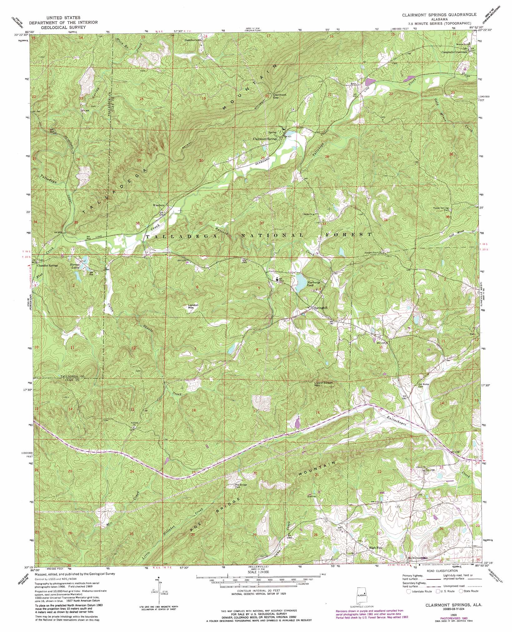
USGS Topo Quad 33085c8 - 1:24,000 scale
| Topo Map Name: | Clairmont Springs |
| USGS Topo Quad ID: | 33085c8 |
| Print Size: | ca. 21 1/4" wide x 27" high |
| Southeast Coordinates: | 33.25° N latitude / 85.875° W longitude |
| Map Center Coordinates: | 33.3125° N latitude / 85.9375° W longitude |
| U.S. State: | AL |
| Filename: | o33085c8.jpg |
| Download Map JPG Image: | Clairmont Springs topo map 1:24,000 scale |
| Map Type: | Topographic |
| Topo Series: | 7.5´ |
| Map Scale: | 1:24,000 |
| Source of Map Images: | United States Geological Survey (USGS) |
| Alternate Map Versions: |
Clairmont Springs AL 1969, updated 1973 Download PDF Buy paper map Clairmont Springs AL 1969, updated 1980 Download PDF Buy paper map Clairmont Springs AL 1969, updated 1985 Download PDF Buy paper map Clairmont Springs AL 1969, updated 1989 Download PDF Buy paper map Clairmont Springs AL 2001, updated 2004 Download PDF Buy paper map Clairmont Springs AL 2011 Download PDF Buy paper map Clairmont Springs AL 2014 Download PDF Buy paper map |
| FStopo: | US Forest Service topo Clairmont Springs is available: Download FStopo PDF Download FStopo TIF |
1:24,000 Topo Quads surrounding Clairmont Springs
Riverside |
Eastaboga |
Munford |
Oxford |
Hollis Crossroads |
Sleeping Giants |
Talladega |
Ironaton |
Cheaha Mountain |
Delta |
Winterboro |
Porter Gap |
Clairmont Springs |
Lineville West |
Lineville East |
Sylacauga East |
Bulls Gap |
Millerville |
Gibsonville |
Mellow Valley |
Hollins |
Goodwater |
Hackneyville |
New Site |
Daviston |
> Back to 33085a1 at 1:100,000 scale
> Back to 33084a1 at 1:250,000 scale
> Back to U.S. Topo Maps home
Clairmont Springs topo map: Gazetteer
Clairmont Springs: Dams
Horne Dam elevation 273m 895′Newbury Dam elevation 347m 1138′
Clairmont Springs: Gaps
Clairmont Gap elevation 412m 1351′Ironston Gap elevation 410m 1345′
Clairmont Springs: Mines
Acme Mine elevation 344m 1128′Alabama Graphic Mine elevation 353m 1158′
Alabama Number One Mine elevation 362m 1187′
Alabama Number Two Mine elevation 373m 1223′
Allen Mine elevation 403m 1322′
Ashland Mine elevation 349m 1145′
Axton-Noe Mine elevation 353m 1158′
California Prospect elevation 339m 1112′
Crucible Mine elevation 396m 1299′
Crucible Prospect elevation 376m 1233′
Eagle Mine elevation 389m 1276′
Eley Mine elevation 339m 1112′
Enitachopco Mine elevation 345m 1131′
Enterprise Mine elevation 344m 1128′
Gibson Mine elevation 372m 1220′
Griessemer Mine elevation 380m 1246′
Haraldson Mine elevation 339m 1112′
Hobbs Prospect elevation 369m 1210′
Horns Peak Mine elevation 336m 1102′
Hudson Mine elevation 367m 1204′
Idaho Mine elevation 404m 1325′
Jackson Mine elevation 322m 1056′
Jefferson Mine elevation 354m 1161′
Lee Number One Mine elevation 372m 1220′
Lee Number Two Mine elevation 353m 1158′
Little Samson Prospect elevation 435m 1427′
May Brothers Mine elevation 333m 1092′
McLellan Mine elevation 387m 1269′
National Mine elevation 429m 1407′
Norway Mine elevation 344m 1128′
Pitts Number One Mine elevation 345m 1131′
Pitts Number Two Mine elevation 318m 1043′
Pocahontas Mine elevation 365m 1197′
Quenelda Graphite Mines elevation 374m 1227′
Sewell-Caldwell Prospect elevation 313m 1026′
Southern Star Mine elevation 356m 1167′
Stevenson Mine elevation 361m 1184′
Stringfellow Prospect elevation 372m 1220′
Superior Mine elevation 365m 1197′
Wade Prospect elevation 371m 1217′
Whatley Mine elevation 378m 1240′
Clairmont Springs: Populated Places
Campbells Crossroads elevation 311m 1020′Chandler Springs elevation 359m 1177′
Clairmont Springs elevation 280m 918′
Erin elevation 294m 964′
Gunthertown elevation 318m 1043′
High Pine elevation 344m 1128′
Rays Crossroads elevation 337m 1105′
Springhill elevation 348m 1141′
Weathers elevation 278m 912′
Clairmont Springs: Reservoirs
Hornes Lakes elevation 272m 892′Newburys Pond elevation 325m 1066′
Clairmont Springs: Streams
Blue Creek elevation 262m 859′Buzzard Creek elevation 262m 859′
Caten Shoals Creek elevation 285m 935′
Garing Creek elevation 238m 780′
Gold Mines Creek elevation 286m 938′
Horn Branch elevation 270m 885′
Clairmont Springs: Summits
Lizard Scrape Mountain elevation 386m 1266′London Mountain elevation 464m 1522′
Poe Bridge Mountain elevation 388m 1272′
Clairmont Springs digital topo map on disk
Buy this Clairmont Springs topo map showing relief, roads, GPS coordinates and other geographical features, as a high-resolution digital map file on DVD: