Micaville Topo Map Alabama
To zoom in, hover over the map of Micaville
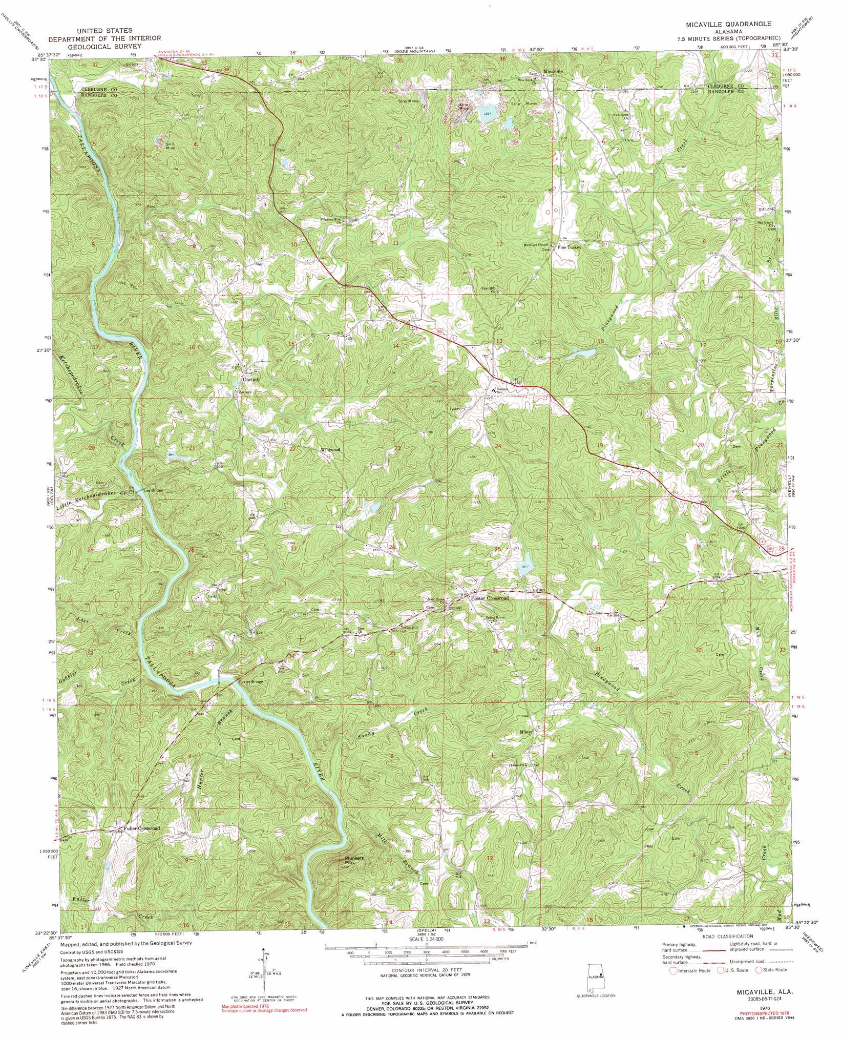
USGS Topo Quad 33085d5 - 1:24,000 scale
| Topo Map Name: | Micaville |
| USGS Topo Quad ID: | 33085d5 |
| Print Size: | ca. 21 1/4" wide x 27" high |
| Southeast Coordinates: | 33.375° N latitude / 85.5° W longitude |
| Map Center Coordinates: | 33.4375° N latitude / 85.5625° W longitude |
| U.S. State: | AL |
| Filename: | o33085d5.jpg |
| Download Map JPG Image: | Micaville topo map 1:24,000 scale |
| Map Type: | Topographic |
| Topo Series: | 7.5´ |
| Map Scale: | 1:24,000 |
| Source of Map Images: | United States Geological Survey (USGS) |
| Alternate Map Versions: |
Micaville AL 1970, updated 1973 Download PDF Buy paper map Micaville AL 1970, updated 1991 Download PDF Buy paper map Micaville AL 1975, updated 1977 Download PDF Buy paper map Micaville AL 2011 Download PDF Buy paper map Micaville AL 2014 Download PDF Buy paper map |
1:24,000 Topo Quads surrounding Micaville
Anniston |
Choccolocco |
Heflin |
Fruithurst |
Tallapoosa South |
Oxford |
Hollis Crossroads |
Ross Mountain |
Hightower |
Bowdon West |
Cheaha Mountain |
Delta |
Micaville |
Newell |
Graham |
Lineville West |
Lineville East |
Ofelia |
Wedowee |
Napoleon |
Gibsonville |
Mellow Valley |
Wadley North |
Roanoke West |
Roanoke East |
> Back to 33085a1 at 1:100,000 scale
> Back to 33084a1 at 1:250,000 scale
> Back to U.S. Topo Maps home
Micaville topo map: Gazetteer
Micaville: Bridges
Foster Bridge elevation 235m 770′Lee Bridge elevation 236m 774′
Micaville: Crossings
Foster Ford (historical) elevation 235m 770′Nixon Ford elevation 234m 767′
Owen Ford elevation 235m 770′
Micaville: Dams
Boyd Dam elevation 319m 1046′Brady Lake Dam elevation 322m 1056′
Gray Dam elevation 348m 1141′
Micaville: Mines
Alexandria Mine elevation 348m 1141′Arnold Prospect elevation 341m 1118′
Arnott Mine elevation 351m 1151′
Bagley Mine elevation 375m 1230′
Campbell Mine elevation 335m 1099′
Consolidated Number Five Mine elevation 373m 1223′
Consolidated Number Four Mine elevation 389m 1276′
Consolidated Number One Mine elevation 365m 1197′
Consolidated Number Ten Mine elevation 332m 1089′
Consolidated Number Three Mine elevation 330m 1082′
Crews Mine elevation 335m 1099′
Crystal Clear Mine elevation 364m 1194′
Foote Prospect elevation 360m 1181′
Foster Mine elevation 262m 859′
Friendshiip Number One Mine elevation 332m 1089′
Friendship Number Two Mine elevation 310m 1017′
Great Southern Number Four Mine elevation 353m 1158′
Great Southern Number One Mine elevation 305m 1000′
Great Southern Number Three Mine elevation 365m 1197′
Great Southern Number Two Mine elevation 294m 964′
Haynes Number One Mine elevation 351m 1151′
Haynes Number Two Mine elevation 360m 1181′
Holmes Prospect elevation 298m 977′
Holmes Prospect elevation 331m 1085′
Jack Rice Mine elevation 280m 918′
Jones Number One Mine elevation 345m 1131′
Jones Prospect elevation 315m 1033′
Jordan Mine elevation 393m 1289′
Kitchen Prospect elevation 325m 1066′
Knopf Prospects elevation 317m 1040′
Liberty Mine elevation 358m 1174′
McAdoo Mine elevation 380m 1246′
Miller Mines elevation 372m 1220′
Morrison Mine elevation 372m 1220′
New Number One Mine elevation 276m 905′
New Number Two Mine elevation 273m 895′
Old Anicent Mine elevation 342m 1122′
Pinetucky Mine elevation 330m 1082′
Pinetucky Number One Mine elevation 354m 1161′
Schefner Mine elevation 380m 1246′
Silver Leaf Prospect elevation 365m 1197′
Spring Hill Number One Mine elevation 326m 1069′
Spring Hill Number Three Mine elevation 313m 1026′
Spring Hill Number Two Mine elevation 353m 1158′
Tennant Prospect elevation 283m 928′
Vickers Number Four Mine elevation 289m 948′
Vickers Number One Mine elevation 264m 866′
Wallace Number One Mine elevation 352m 1154′
Wallace Number Two Mine elevation 357m 1171′
Weeks Mine elevation 345m 1131′
Whitehead Prospects elevation 372m 1220′
York Prospect elevation 384m 1259′
Zeesman Pit elevation 343m 1125′
Micaville: Populated Places
Cedron elevation 346m 1135′Corinth elevation 306m 1003′
Folsom elevation 370m 1213′
Foster Crossroad elevation 318m 1043′
Fuller Crossroad elevation 306m 1003′
Micaville elevation 396m 1299′
Milner elevation 302m 990′
Pine Tuckey elevation 363m 1190′
Wildwood elevation 312m 1023′
Micaville: Reservoirs
Boyd Lake elevation 319m 1046′Brady Lake elevation 322m 1056′
Grays Lake elevation 348m 1141′
Micaville: Streams
Buckhannon Creek elevation 235m 770′Gobbler Creek elevation 235m 770′
Hunter Branch elevation 234m 767′
Ketchepedrakee Creek elevation 236m 774′
Little Ketchepedrakee Creek elevation 236m 774′
Little Pineywood Creek elevation 293m 961′
Lost Creek elevation 236m 774′
Mill Branch elevation 230m 754′
Sandy Creek elevation 235m 770′
Turpentine Still Branch elevation 309m 1013′
Micaville: Summits
Plunkett Mountain elevation 371m 1217′Micaville digital topo map on disk
Buy this Micaville topo map showing relief, roads, GPS coordinates and other geographical features, as a high-resolution digital map file on DVD: