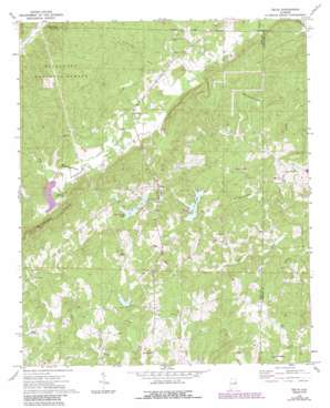
Delta Topo Map Alabama
To zoom in, hover over the map of Delta
USGS Topo Quad 33085d6 - 1:24,000 scale
| Topo Map Name: | Delta |
| USGS Topo Quad ID: | 33085d6 |
| Print Size: | ca. 21 1/4" wide x 27" high |
| Southeast Coordinates: | 33.375° N latitude / 85.625° W longitude |
| Map Center Coordinates: | 33.4375° N latitude / 85.6875° W longitude |
| U.S. State: | AL |
| Filename: | o33085d6.jpg |
| Download Map JPG Image: | Delta topo map 1:24,000 scale |
| Map Type: | Topographic |
| Topo Series: | 7.5´ |
| Map Scale: | 1:24,000 |
| Source of Map Images: | United States Geological Survey (USGS) |
| Alternate Map Versions: |
Delta AL 1970, updated 1973 Download PDF Buy paper map Delta AL 1970, updated 1985 Download PDF Buy paper map Delta AL 1975, updated 1977 Download PDF Buy paper map Delta AL 2001, updated 2004 Download PDF Buy paper map Delta AL 2011 Download PDF Buy paper map Delta AL 2014 Download PDF Buy paper map |
| FStopo: | US Forest Service topo Delta is available: Download FStopo PDF Download FStopo TIF |
1:24,000 Topo Quads surrounding Delta
> Back to 33085a1 at 1:100,000 scale
> Back to 33084a1 at 1:250,000 scale
> Back to U.S. Topo Maps home
Delta topo map: Gazetteer
Delta: Dams
Center Hill Dam elevation 301m 987′Gerald Lake Dam elevation 282m 925′
Ketchepedrakee Watershed Dam Number 15 elevation 280m 918′
Lower State Lake Dam elevation 346m 1135′
Upper State Lake Dam elevation 345m 1131′
Virginia Lake Dam elevation 330m 1082′
Delta: Mines
Delta Mine elevation 295m 967′Smith Number One Mine elevation 302m 990′
Smith Prospect elevation 318m 1043′
Delta: Populated Places
Center West elevation 287m 941′Christiana elevation 304m 997′
Delta elevation 338m 1108′
Haynes Crossroad elevation 297m 974′
Mount Moriah elevation 321m 1053′
Needmore elevation 278m 912′
Delta: Reservoirs
Center Hill Lake elevation 301m 987′Clay County Lake elevation 328m 1076′
Lake David elevation 317m 1040′
Lake Gerald elevation 282m 925′
Lake Virginia elevation 330m 1082′
Upper State Lake elevation 345m 1131′
Delta: Streams
Armstrong Creek elevation 264m 866′Bacchus Branch elevation 250m 820′
Ligon Creek elevation 291m 954′
Delta: Valleys
Fishhead Valley elevation 268m 879′Delta digital topo map on disk
Buy this Delta topo map showing relief, roads, GPS coordinates and other geographical features, as a high-resolution digital map file on DVD:


