Pleasant Ridge Topo Map Alabama
To zoom in, hover over the map of Pleasant Ridge
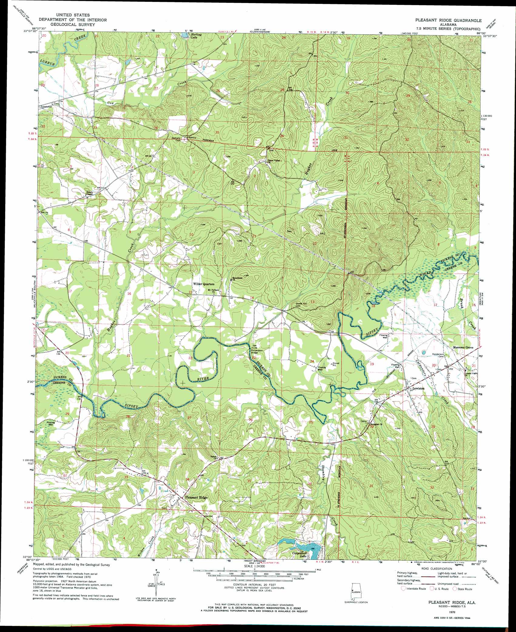
USGS Topo Quad 33088a1 - 1:24,000 scale
| Topo Map Name: | Pleasant Ridge |
| USGS Topo Quad ID: | 33088a1 |
| Print Size: | ca. 21 1/4" wide x 27" high |
| Southeast Coordinates: | 33° N latitude / 88° W longitude |
| Map Center Coordinates: | 33.0625° N latitude / 88.0625° W longitude |
| U.S. State: | AL |
| Filename: | o33088a1.jpg |
| Download Map JPG Image: | Pleasant Ridge topo map 1:24,000 scale |
| Map Type: | Topographic |
| Topo Series: | 7.5´ |
| Map Scale: | 1:24,000 |
| Source of Map Images: | United States Geological Survey (USGS) |
| Alternate Map Versions: |
Pleasant Ridge AL 1970, updated 1972 Download PDF Buy paper map Pleasant Ridge AL 1970, updated 1990 Download PDF Buy paper map Pleasant Ridge AL 2011 Download PDF Buy paper map Pleasant Ridge AL 2014 Download PDF Buy paper map |
1:24,000 Topo Quads surrounding Pleasant Ridge
Forreston |
Reform Sw |
Carrollton |
Gordo |
Elrod |
Pickensville |
Aliceville North |
Cunningham |
Kirk |
Romulus |
Dancy |
Aliceville South |
Pleasant Ridge |
Mantua |
Ralph |
Panola |
Warsaw |
West Greene |
Union |
Knoxville |
Geiger |
Gainesville |
Boligee |
Eutaw |
Warrior Dam |
> Back to 33088a1 at 1:100,000 scale
> Back to 33088a1 at 1:250,000 scale
> Back to U.S. Topo Maps home
Pleasant Ridge topo map: Gazetteer
Pleasant Ridge: Bridges
Richardson Bridge elevation 37m 121′Richardsons Bridge (historical) elevation 40m 131′
Pleasant Ridge: Crossings
Colters Ferry (historical) elevation 40m 131′Pleasant Ridge: Dams
C S Stirling Junior Dam elevation 60m 196′Homer Carpenter Dam elevation 58m 190′
Pleasant Ridge: Populated Places
Lewiston elevation 55m 180′Pleasant Ridge elevation 93m 305′
Pleasant Ridge: Reservoirs
Carpenters Lake elevation 58m 190′Sterling Lake elevation 60m 196′
Pleasant Ridge: Streams
Brush Creek elevation 43m 141′Carpenters Creek elevation 40m 131′
Cow Creek elevation 40m 131′
Hughes Creek elevation 37m 121′
Shambley Creek elevation 40m 131′
Pleasant Ridge digital topo map on disk
Buy this Pleasant Ridge topo map showing relief, roads, GPS coordinates and other geographical features, as a high-resolution digital map file on DVD: