Lynn Creek Topo Map Mississippi
To zoom in, hover over the map of Lynn Creek
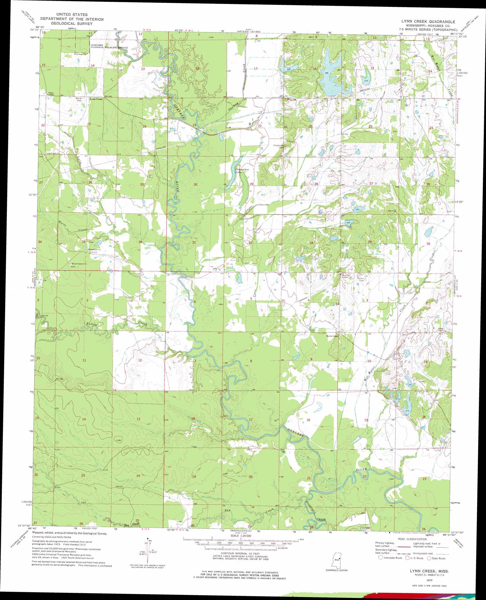
USGS Topo Quad 33088b6 - 1:24,000 scale
| Topo Map Name: | Lynn Creek |
| USGS Topo Quad ID: | 33088b6 |
| Print Size: | ca. 21 1/4" wide x 27" high |
| Southeast Coordinates: | 33.125° N latitude / 88.625° W longitude |
| Map Center Coordinates: | 33.1875° N latitude / 88.6875° W longitude |
| U.S. State: | MS |
| Filename: | o33088b6.jpg |
| Download Map JPG Image: | Lynn Creek topo map 1:24,000 scale |
| Map Type: | Topographic |
| Topo Series: | 7.5´ |
| Map Scale: | 1:24,000 |
| Source of Map Images: | United States Geological Survey (USGS) |
| Alternate Map Versions: |
Lynn Creek MS 1973, updated 1975 Download PDF Buy paper map Lynn Creek MS 2012 Download PDF Buy paper map Lynn Creek MS 2015 Download PDF Buy paper map |
1:24,000 Topo Quads surrounding Lynn Creek
Longview |
Starkville |
Artesia |
Bent Oak |
Columbus South |
Bradley |
Bluff Lake |
Crawford West |
Crawford East |
Trinity |
Betheden |
Barge Lake |
Lynn Creek |
Brooksville |
Cliftonville |
Boon |
Fearns Springs |
Mashulaville |
Macon |
Mcleod |
Vernon |
Preston |
Gholson |
Shuqualak |
Paulette |
> Back to 33088a1 at 1:100,000 scale
> Back to 33088a1 at 1:250,000 scale
> Back to U.S. Topo Maps home
Lynn Creek topo map: Gazetteer
Lynn Creek: Bridges
Buggs Ferry Bridge (historical) elevation 52m 170′Cranford Bridge elevation 54m 177′
Lynn Creek: Crossings
Buggs Ferry (historical) elevation 52m 170′Lynn Creek: Dams
Erickson Lake Number 1 Dam elevation 61m 200′Erickson Lake Number 2 Dam elevation 63m 206′
Erickson Lake Number 3 Dam elevation 64m 209′
Heard Lake Dam elevation 73m 239′
Land O Lakes Dam elevation 78m 255′
Moore Lake Dam elevation 78m 255′
P E Moore Pond Dam elevation 69m 226′
Varner Lake Dam elevation 65m 213′
Lynn Creek: Lakes
Carpenters Lake elevation 60m 196′Lynn Creek: Populated Places
Allgoods Mill (historical) elevation 57m 187′Dixie (historical) elevation 92m 301′
Eli (historical) elevation 62m 203′
Fairview (historical) elevation 85m 278′
Jeff Davis (historical) elevation 64m 209′
Lynn Creek elevation 73m 239′
Taylors (historical) elevation 70m 229′
Lynn Creek: Streams
Coon Creek elevation 53m 173′Earle Creek elevation 53m 173′
Hashuqua Creek elevation 51m 167′
Horse Creek elevation 55m 180′
Lynn Creek elevation 58m 190′
Shotbag Creek elevation 57m 187′
Sun Creek elevation 51m 167′
Wet Water Creek elevation 50m 164′
Yellow Creek elevation 53m 173′
Lynn Creek digital topo map on disk
Buy this Lynn Creek topo map showing relief, roads, GPS coordinates and other geographical features, as a high-resolution digital map file on DVD: