Ethel South Topo Map Mississippi
To zoom in, hover over the map of Ethel South
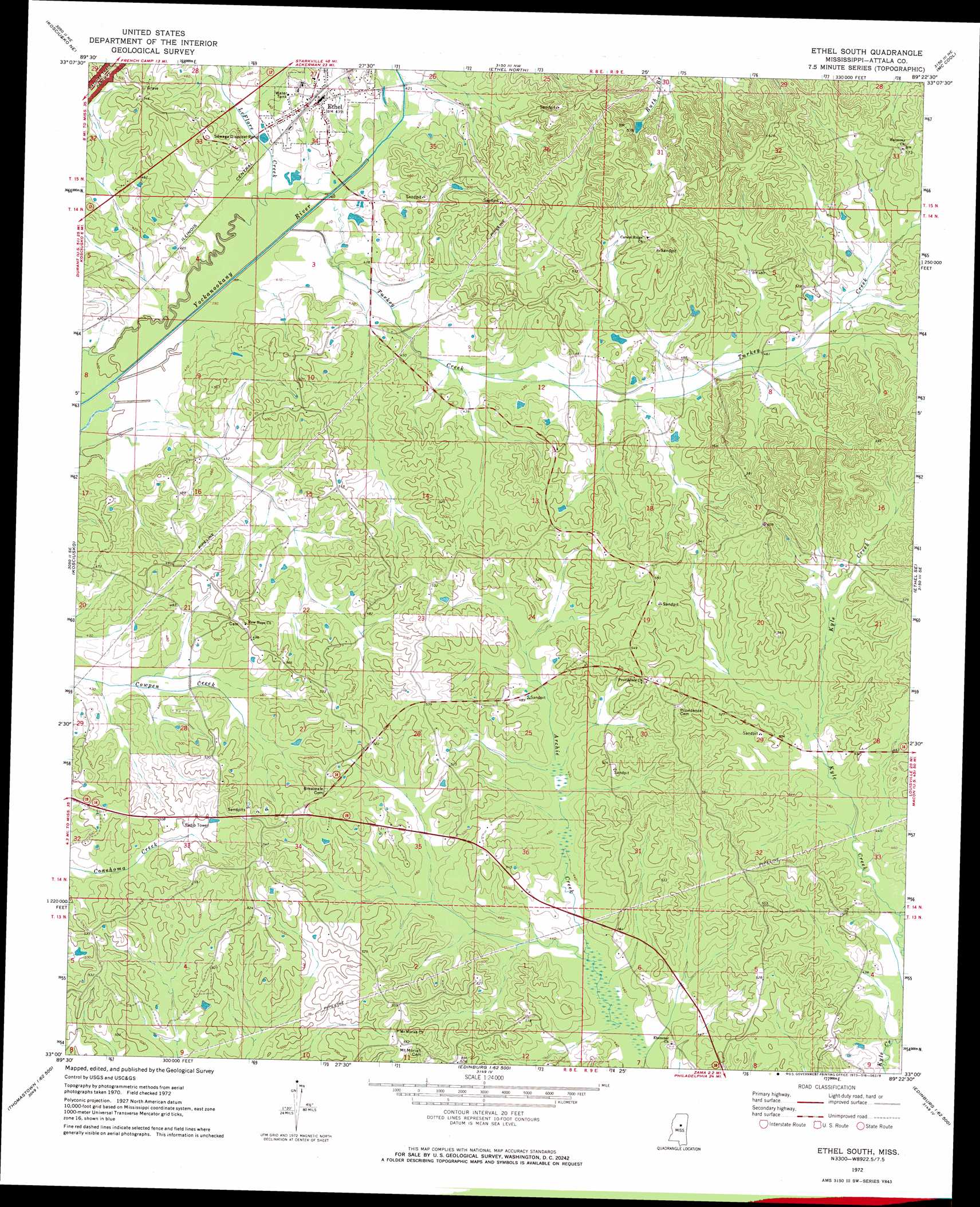
USGS Topo Quad 33089a4 - 1:24,000 scale
| Topo Map Name: | Ethel South |
| USGS Topo Quad ID: | 33089a4 |
| Print Size: | ca. 21 1/4" wide x 27" high |
| Southeast Coordinates: | 33° N latitude / 89.375° W longitude |
| Map Center Coordinates: | 33.0625° N latitude / 89.4375° W longitude |
| U.S. State: | MS |
| Filename: | o33089a4.jpg |
| Download Map JPG Image: | Ethel South topo map 1:24,000 scale |
| Map Type: | Topographic |
| Topo Series: | 7.5´ |
| Map Scale: | 1:24,000 |
| Source of Map Images: | United States Geological Survey (USGS) |
| Alternate Map Versions: |
Ethel South MS 1972, updated 1973 Download PDF Buy paper map Ethel South MS 2012 Download PDF Buy paper map Ethel South MS 2015 Download PDF Buy paper map |
1:24,000 Topo Quads surrounding Ethel South
Vaiden |
Poplar Creek |
French Camp |
Weir |
Ackerman |
Hesterville |
Kosciusko Ne |
Ethel North |
Mccool |
Highpoint |
Mcadams |
Kosciusko |
Ethel South |
Ethel Se |
Louisville Sw |
Joseph |
Singleton |
Zama |
Four Corners |
Plattsburg |
Thomastown |
Conway |
Renfroe |
Edinburg |
Pearl River |
> Back to 33089a1 at 1:100,000 scale
> Back to 33088a1 at 1:250,000 scale
> Back to U.S. Topo Maps home
Ethel South topo map: Gazetteer
Ethel South: Dams
Mississippi No Name 5 Dam elevation 143m 469′Ethel South: Populated Places
Carson Ridge (historical) elevation 147m 482′Cowpen (historical) elevation 150m 492′
Ethel elevation 129m 423′
Joplin (historical) elevation 159m 521′
Mercer (historical) elevation 161m 528′
New Hope (historical) elevation 153m 501′
Newtonville (historical) elevation 165m 541′
Providence elevation 166m 544′
Tabernacle (historical) elevation 157m 515′
Thompson (historical) elevation 167m 547′
Ethel South: Post Offices
Turkey Post Office (historical) elevation 143m 469′Ethel South: Streams
Turkey Creek elevation 121m 396′Ethel South digital topo map on disk
Buy this Ethel South topo map showing relief, roads, GPS coordinates and other geographical features, as a high-resolution digital map file on DVD: