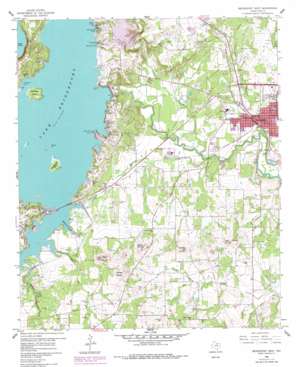
Bridgeport West Topo Map Texas
To zoom in, hover over the map of Bridgeport West
USGS Topo Quad 33097b7 - 1:24,000 scale
| Topo Map Name: | Bridgeport West |
| USGS Topo Quad ID: | 33097b7 |
| Print Size: | ca. 21 1/4" wide x 27" high |
| Southeast Coordinates: | 33.125° N latitude / 97.75° W longitude |
| Map Center Coordinates: | 33.1875° N latitude / 97.8125° W longitude |
| U.S. State: | TX |
| Filename: | o33097b7.jpg |
| Download Map JPG Image: | Bridgeport West topo map 1:24,000 scale |
| Map Type: | Topographic |
| Topo Series: | 7.5´ |
| Map Scale: | 1:24,000 |
| Source of Map Images: | United States Geological Survey (USGS) |
| Alternate Map Versions: |
Bridgeport West TX 1960, updated 1961 Download PDF Buy paper map Bridgeport West TX 1960, updated 1961 Download PDF Buy paper map Bridgeport West TX 1960, updated 1978 Download PDF Buy paper map Bridgeport West TX 1960, updated 1978 Download PDF Buy paper map Bridgeport West TX 2010 Download PDF Buy paper map Bridgeport West TX 2013 Download PDF Buy paper map Bridgeport West TX 2016 Download PDF Buy paper map |
| FStopo: | US Forest Service topo Bridgeport West is available: Download FStopo PDF Download FStopo TIF |
1:24,000 Topo Quads surrounding Bridgeport West
> Back to 33097a1 at 1:100,000 scale
> Back to 33096a1 at 1:250,000 scale
> Back to U.S. Topo Maps home
Bridgeport West topo map: Gazetteer
Bridgeport West: Airports
Bridgeport Municipal Airport elevation 254m 833′Flying S Ranch Airport elevation 258m 846′
Jim Sears Airport elevation 278m 912′
Bridgeport West: Bays
Crappie Cove elevation 252m 826′Hackberry Slough elevation 252m 826′
Marine Base Slough elevation 252m 826′
Meacham Slough elevation 252m 826′
Spears Slough elevation 252m 826′
Bridgeport West: Capes
Twin Hills Point elevation 252m 826′Bridgeport West: Dams
Bridgeport Dam elevation 259m 849′Lone Star Industries Dam elevation 251m 823′
Bridgeport West: Gaps
Saddle Gap elevation 260m 853′Bridgeport West: Islands
Horse Island elevation 252m 826′Rattlesnake Island elevation 255m 836′
Stripling Island elevation 262m 859′
Bridgeport West: Parks
Bull Memorial Stadium elevation 241m 790′Bridgeport West: Populated Places
Bridgeport elevation 244m 800′Lake Bridgeport elevation 278m 912′
Rickels elevation 244m 800′
Bridgeport West: Reservoirs
Lake Bridgeport elevation 257m 843′Lone Star Industries Lake elevation 251m 823′
Bridgeport West: Streams
Coal Bed Branch elevation 252m 826′North Fork Rush Creek elevation 238m 780′
Ramsey Creek elevation 229m 751′
South Fork Rush Creek elevation 238m 780′
Turkey Creek elevation 220m 721′
Village Creek elevation 223m 731′
Willow Creek elevation 252m 826′
Bridgeport West: Summits
Bowlin Mound elevation 319m 1046′Brushy Mound elevation 305m 1000′
Carlisle Mound elevation 324m 1062′
East Mound elevation 305m 1000′
West Mound elevation 325m 1066′
Bridgeport West digital topo map on disk
Buy this Bridgeport West topo map showing relief, roads, GPS coordinates and other geographical features, as a high-resolution digital map file on DVD:


