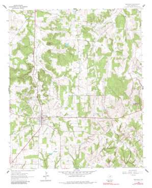
Montague Topo Map Texas
To zoom in, hover over the map of Montague
USGS Topo Quad 33097f6 - 1:24,000 scale
| Topo Map Name: | Montague |
| USGS Topo Quad ID: | 33097f6 |
| Print Size: | ca. 21 1/4" wide x 27" high |
| Southeast Coordinates: | 33.625° N latitude / 97.625° W longitude |
| Map Center Coordinates: | 33.6875° N latitude / 97.6875° W longitude |
| U.S. State: | TX |
| Filename: | o33097f6.jpg |
| Download Map JPG Image: | Montague topo map 1:24,000 scale |
| Map Type: | Topographic |
| Topo Series: | 7.5´ |
| Map Scale: | 1:24,000 |
| Source of Map Images: | United States Geological Survey (USGS) |
| Alternate Map Versions: |
Montague TX 1961, updated 1963 Download PDF Buy paper map Montague TX 1961, updated 1984 Download PDF Buy paper map Montague TX 2010 Download PDF Buy paper map Montague TX 2013 Download PDF Buy paper map Montague TX 2016 Download PDF Buy paper map |
1:24,000 Topo Quads surrounding Montague
> Back to 33097e1 at 1:100,000 scale
> Back to 33096a1 at 1:250,000 scale
> Back to U.S. Topo Maps home
Montague topo map: Gazetteer
Montague: Dams
Soil Conservation Service Debris Basin 110 Dam elevation 333m 1092′Soil Conservation Service Debris Basin 112 Dam elevation 291m 954′
Soil Conservation Service Debris Basin 115 Dam elevation 334m 1095′
Soil Conservation Service Debris Basin 116 Dam elevation 332m 1089′
Soil Conservation Service Debris Basin 117 Dam elevation 324m 1062′
Soil Conservation Service Debris Basin 118 Dam elevation 333m 1092′
Soil Conservation Service Debris Basin 119 Dam elevation 328m 1076′
Soil Conservation Service Debris Basin 120 Dam elevation 347m 1138′
Soil Conservation Service Debris Basin 121 Dam elevation 329m 1079′
Soil Conservation Service Site 1a Dam elevation 342m 1122′
Soil Conservation Service Site 1b Dam elevation 342m 1122′
Soil Conservation Service Site 2k Dam elevation 317m 1040′
Soil Conservation Service Site 6 Dam elevation 297m 974′
Soil Conservation Service Site 7 Dam elevation 284m 931′
Soil Conservation Service Site 8 Dam elevation 281m 921′
Montague: Oilfields
Greenbrier Oil Field elevation 325m 1066′Montague: Populated Places
Montague elevation 327m 1072′Montague: Reservoirs
Soil Conservation Service Debris Basin 110 elevation 333m 1092′Soil Conservation Service Debris Basin 112 elevation 291m 954′
Soil Conservation Service Debris Basin 115 elevation 334m 1095′
Soil Conservation Service Debris Basin 116 elevation 332m 1089′
Soil Conservation Service Debris Basin 117 elevation 324m 1062′
Soil Conservation Service Debris Basin 118 elevation 333m 1092′
Soil Conservation Service Debris Basin 119 elevation 328m 1076′
Soil Conservation Service Debris Basin 120 elevation 347m 1138′
Soil Conservation Service Debris Basin 121 elevation 329m 1079′
Soil Conservation Service Site 1a Reservoir elevation 342m 1122′
Soil Conservation Service Site 1b Reservoir elevation 342m 1122′
Soil Conservation Service Site 2k Reservoir elevation 317m 1040′
Soil Conservation Service Site 6 Reservoir elevation 297m 974′
Soil Conservation Service Site 7 Reservoir elevation 284m 931′
Soil Conservation Service Site 8 Reservoir elevation 281m 921′
Montague: Streams
Ritchie Creek elevation 295m 967′Montague: Summits
Blue Mound elevation 395m 1295′Montague digital topo map on disk
Buy this Montague topo map showing relief, roads, GPS coordinates and other geographical features, as a high-resolution digital map file on DVD:


