Jud Topo Map Texas
To zoom in, hover over the map of Jud
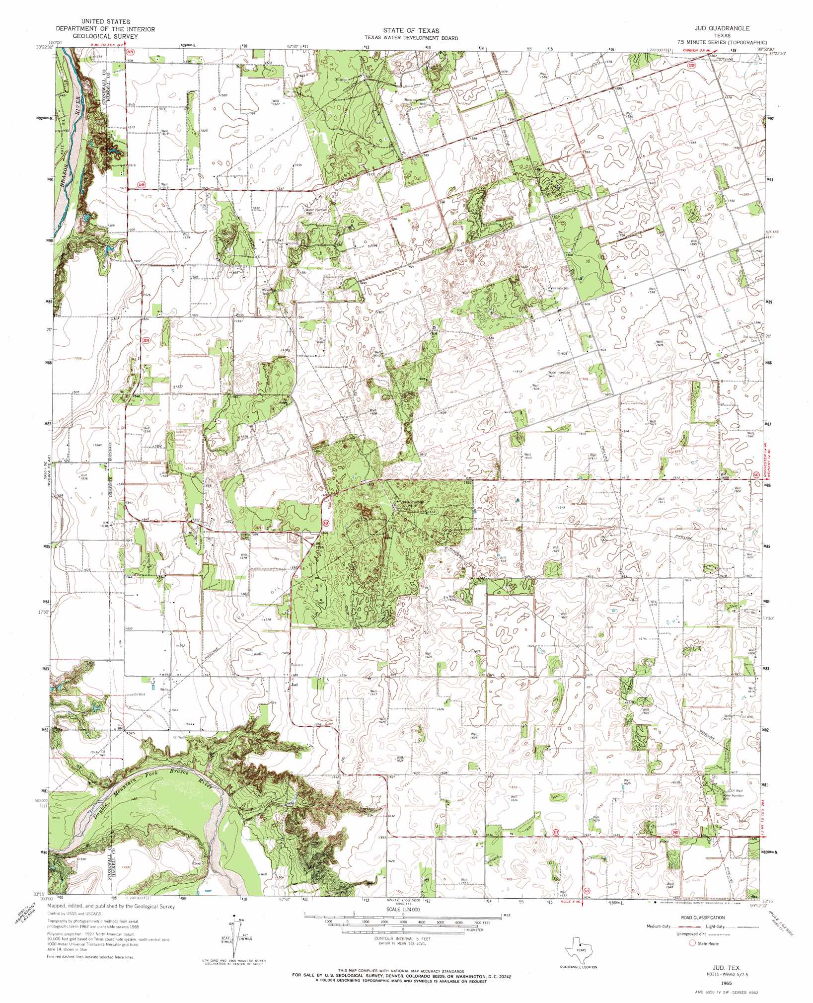
USGS Topo Quad 33099c8 - 1:24,000 scale
| Topo Map Name: | Jud |
| USGS Topo Quad ID: | 33099c8 |
| Print Size: | ca. 21 1/4" wide x 27" high |
| Southeast Coordinates: | 33.25° N latitude / 99.875° W longitude |
| Map Center Coordinates: | 33.3125° N latitude / 99.9375° W longitude |
| U.S. State: | TX |
| Filename: | o33099c8.jpg |
| Download Map JPG Image: | Jud topo map 1:24,000 scale |
| Map Type: | Topographic |
| Topo Series: | 7.5´ |
| Map Scale: | 1:24,000 |
| Source of Map Images: | United States Geological Survey (USGS) |
| Alternate Map Versions: |
Jud TX 1965, updated 1966 Download PDF Buy paper map Jud TX 2010 Download PDF Buy paper map Jud TX 2013 Download PDF Buy paper map Jud TX 2016 Download PDF Buy paper map |
1:24,000 Topo Quads surrounding Jud
Dark Canyon |
Buzzard Peak |
Cedar Mountain |
Benjamin |
Rhineland |
Kiowa Peak Nw |
Kiowa Peak Ne |
Knox City Nw |
Knox City |
Munday West |
Kiowa Peak Sw |
Kiowa Peak |
Jud |
Rochester |
Weinert |
Aspermont |
Old Glory |
Rule |
Pinkerton |
Haskell |
Aspermont Lake |
Frog Mountain |
Sagerton |
Dudleys Creek |
Lake Stamford West |
> Back to 33099a1 at 1:100,000 scale
> Back to 33098a1 at 1:250,000 scale
> Back to U.S. Topo Maps home
Jud topo map: Gazetteer
Jud: Oilfields
Jud Oil Field elevation 483m 1584′Julian Oil Field elevation 480m 1574′
Jud: Populated Places
Jud elevation 485m 1591′Jud elevation 484m 1587′
Jud digital topo map on disk
Buy this Jud topo map showing relief, roads, GPS coordinates and other geographical features, as a high-resolution digital map file on DVD: