Antelope Creek Ne Topo Map Texas
To zoom in, hover over the map of Antelope Creek Ne
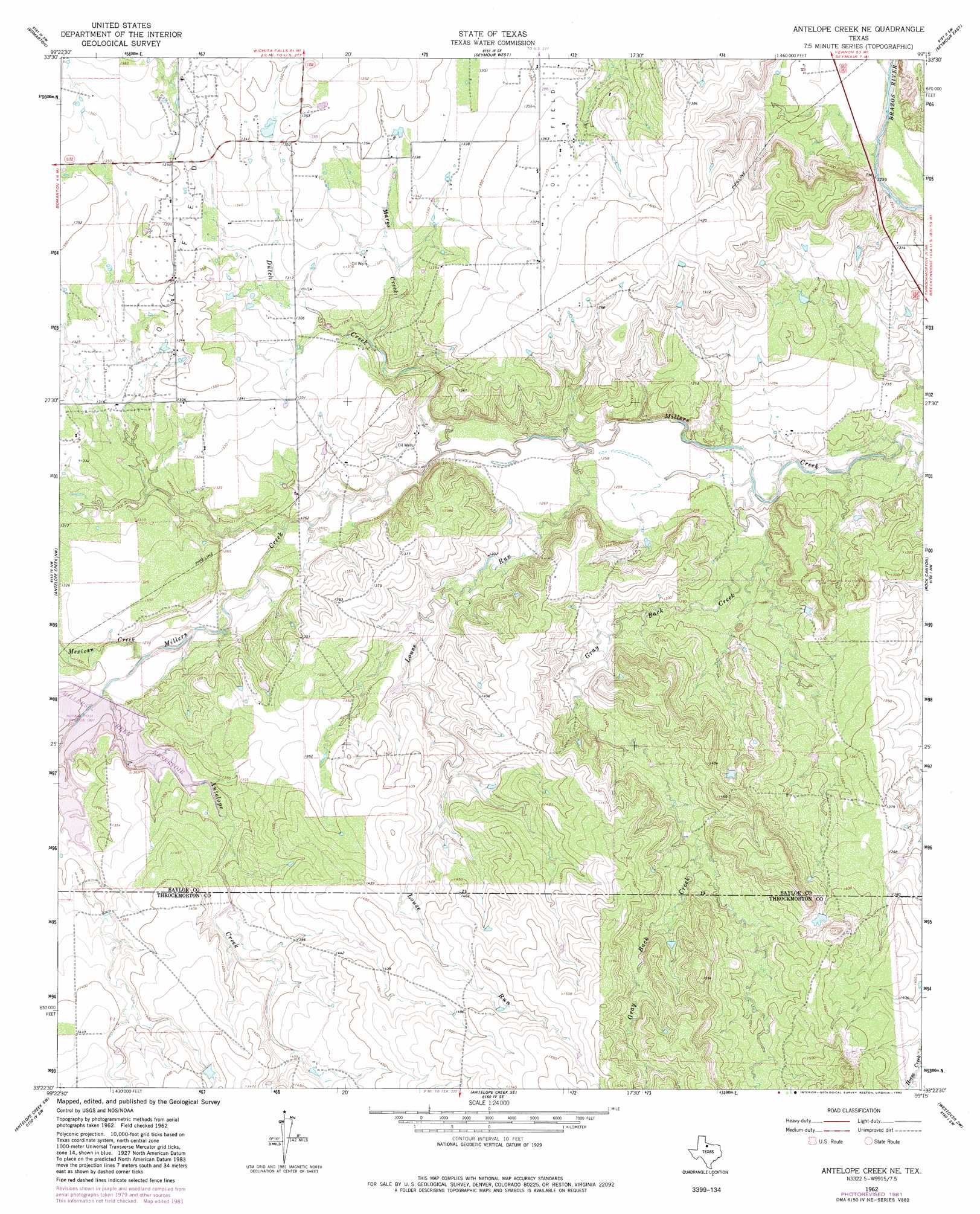
USGS Topo Quad 33099d3 - 1:24,000 scale
| Topo Map Name: | Antelope Creek Ne |
| USGS Topo Quad ID: | 33099d3 |
| Print Size: | ca. 21 1/4" wide x 27" high |
| Southeast Coordinates: | 33.375° N latitude / 99.25° W longitude |
| Map Center Coordinates: | 33.4375° N latitude / 99.3125° W longitude |
| U.S. State: | TX |
| Filename: | o33099d3.jpg |
| Download Map JPG Image: | Antelope Creek Ne topo map 1:24,000 scale |
| Map Type: | Topographic |
| Topo Series: | 7.5´ |
| Map Scale: | 1:24,000 |
| Source of Map Images: | United States Geological Survey (USGS) |
| Alternate Map Versions: |
Antelope Creek NE TX 1962, updated 1965 Download PDF Buy paper map Antelope Creek NE TX 2010 Download PDF Buy paper map Antelope Creek NE TX 2013 Download PDF Buy paper map Antelope Creek NE TX 2016 Download PDF Buy paper map |
1:24,000 Topo Quads surrounding Antelope Creek Ne
Vera |
Soap Creek |
Southwest Lake Kemp |
Southeast Lake Kemp |
Fulda |
Hefner |
Bomarton |
Seymour West |
Seymour East |
Cope Branch |
Munday East |
Antelope Creek Nw |
Antelope Creek Ne |
Rock Canyon |
Westover |
Mattson |
Antelope Creek Sw |
Antelope Creek Se |
Westover Sw |
Westover Se |
Irby |
Reynolds Bend Nw |
Tonk Creek |
Throckmorton |
Throckmorton Ne |
> Back to 33099a1 at 1:100,000 scale
> Back to 33098a1 at 1:250,000 scale
> Back to U.S. Topo Maps home
Antelope Creek Ne topo map: Gazetteer
Antelope Creek Ne: Dams
Millers Creek Dam elevation 393m 1289′Antelope Creek Ne: Reservoirs
Millers Creek Reservoir elevation 393m 1289′Antelope Creek Ne: Streams
Antelope Creek elevation 406m 1332′Dutch Creek elevation 381m 1250′
Gray Back Creek elevation 377m 1236′
Louse Run elevation 380m 1246′
Marys Creek elevation 393m 1289′
Mexican Creek elevation 390m 1279′
Antelope Creek Ne digital topo map on disk
Buy this Antelope Creek Ne topo map showing relief, roads, GPS coordinates and other geographical features, as a high-resolution digital map file on DVD: