Franklin Bend Topo Map Texas
To zoom in, hover over the map of Franklin Bend
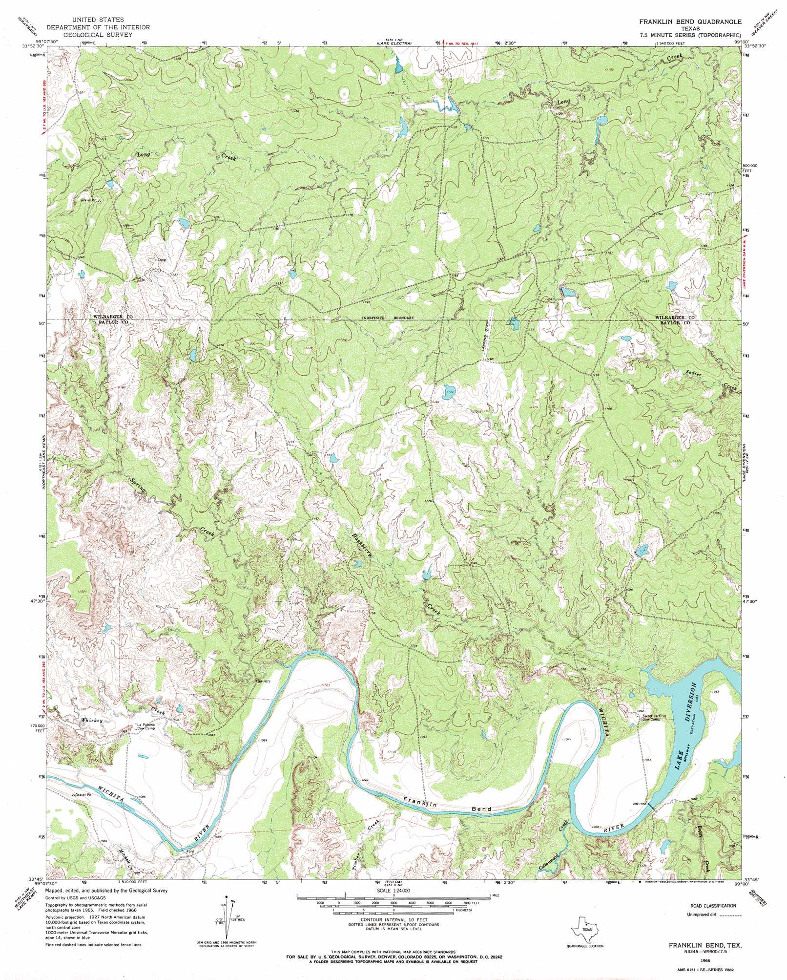
USGS Topo Quad 33099g1 - 1:24,000 scale
| Topo Map Name: | Franklin Bend |
| USGS Topo Quad ID: | 33099g1 |
| Print Size: | ca. 21 1/4" wide x 27" high |
| Southeast Coordinates: | 33.75° N latitude / 99° W longitude |
| Map Center Coordinates: | 33.8125° N latitude / 99.0625° W longitude |
| U.S. State: | TX |
| Filename: | o33099g1.jpg |
| Download Map JPG Image: | Franklin Bend topo map 1:24,000 scale |
| Map Type: | Topographic |
| Topo Series: | 7.5´ |
| Map Scale: | 1:24,000 |
| Source of Map Images: | United States Geological Survey (USGS) |
| Alternate Map Versions: |
Franklin Bend TX 1966, updated 1968 Download PDF Buy paper map Franklin Bend TX 2010 Download PDF Buy paper map Franklin Bend TX 2013 Download PDF Buy paper map Franklin Bend TX 2016 Download PDF Buy paper map |
1:24,000 Topo Quads surrounding Franklin Bend
Lockett |
Boggy Creek |
Harrold |
Electra |
Sunshine Hill |
Santa Rosa Lake |
Grayback |
Lake Electra |
Beaver Creek |
Fowlkes |
Northwest Lake Kemp |
Northeast Lake Kemp |
Franklin Bend |
Lake Diversion |
Mankins |
Southwest Lake Kemp |
Southeast Lake Kemp |
Fulda |
Dundee |
Lake Kickapoo |
Seymour West |
Seymour East |
Cope Branch |
Dundee Sw |
Dundee Se |
> Back to 33099e1 at 1:100,000 scale
> Back to 33098a1 at 1:250,000 scale
> Back to U.S. Topo Maps home
Franklin Bend topo map: Gazetteer
Franklin Bend: Bends
Franklin Bend elevation 326m 1069′Franklin Bend: Dams
Waggoner Ranch Lake Number 1 Dam elevation 346m 1135′Franklin Bend: Reservoirs
Waggoner Ranch Lake Number 1 elevation 346m 1135′Franklin Bend: Streams
Boggy Creek elevation 321m 1053′Cottonwood Creek elevation 323m 1059′
Hackberry Creek elevation 322m 1056′
Mitchell Creek elevation 322m 1056′
Spring Creek elevation 321m 1053′
Timber Creek elevation 322m 1056′
Whiskey Creek elevation 322m 1056′
Franklin Bend digital topo map on disk
Buy this Franklin Bend topo map showing relief, roads, GPS coordinates and other geographical features, as a high-resolution digital map file on DVD: