Littlefield Topo Map Texas
To zoom in, hover over the map of Littlefield
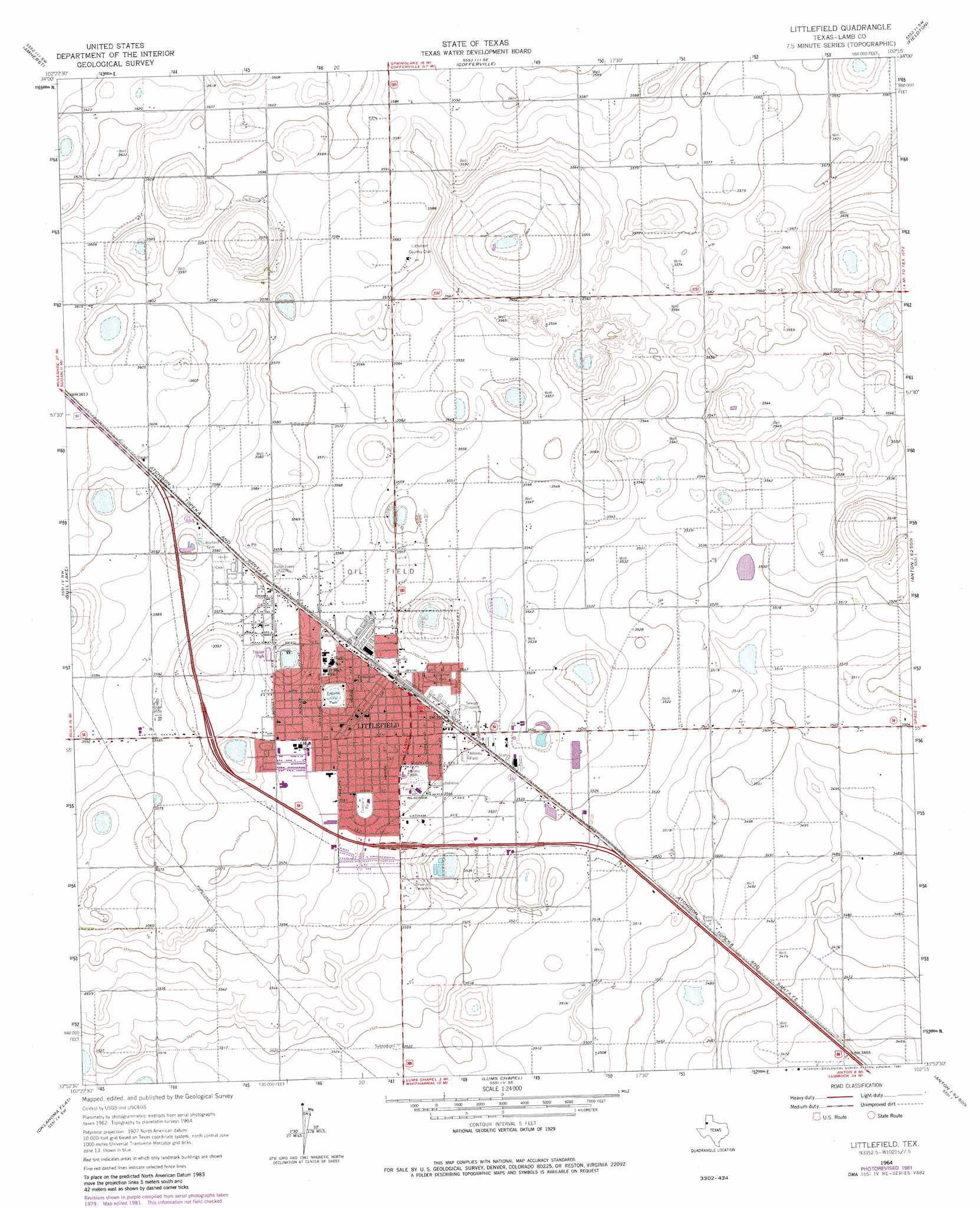
USGS Topo Quad 33102h3 - 1:24,000 scale
| Topo Map Name: | Littlefield |
| USGS Topo Quad ID: | 33102h3 |
| Print Size: | ca. 21 1/4" wide x 27" high |
| Southeast Coordinates: | 33.875° N latitude / 102.25° W longitude |
| Map Center Coordinates: | 33.9375° N latitude / 102.3125° W longitude |
| U.S. State: | TX |
| Filename: | o33102h3.jpg |
| Download Map JPG Image: | Littlefield topo map 1:24,000 scale |
| Map Type: | Topographic |
| Topo Series: | 7.5´ |
| Map Scale: | 1:24,000 |
| Source of Map Images: | United States Geological Survey (USGS) |
| Alternate Map Versions: |
Littlefield TX 1964, updated 1966 Download PDF Buy paper map Littlefield TX 1964, updated 1981 Download PDF Buy paper map Littlefield TX 2010 Download PDF Buy paper map Littlefield TX 2012 Download PDF Buy paper map Littlefield TX 2016 Download PDF Buy paper map |
1:24,000 Topo Quads surrounding Littlefield
Muleshoe Ne |
Earth |
Springlake |
Olton |
Olton Ne |
Sudan |
Amherst |
Cofferville |
Fieldton |
Corry |
Beck |
Bull Lake |
Littlefield |
Spade |
Anton Ne |
Pep |
Oklahoma Flat |
Lums Chapel |
Anton |
Roundup |
Pettit |
Hester Ranch |
Whitharral |
Wolfforth Nw |
Wolfforth Ne |
> Back to 33102e1 at 1:100,000 scale
> Back to 33102a1 at 1:250,000 scale
> Back to U.S. Topo Maps home
Littlefield topo map: Gazetteer
Littlefield: Parks
Crescent Park elevation 1084m 3556′Dunbar Park elevation 1082m 3549′
Dunber Community Park elevation 1083m 3553′
Laguna Park elevation 1080m 3543′
Littlefield: Populated Places
Littlefield elevation 1085m 3559′Littlefield digital topo map on disk
Buy this Littlefield topo map showing relief, roads, GPS coordinates and other geographical features, as a high-resolution digital map file on DVD: