Upper White Lake Topo Map Texas
To zoom in, hover over the map of Upper White Lake
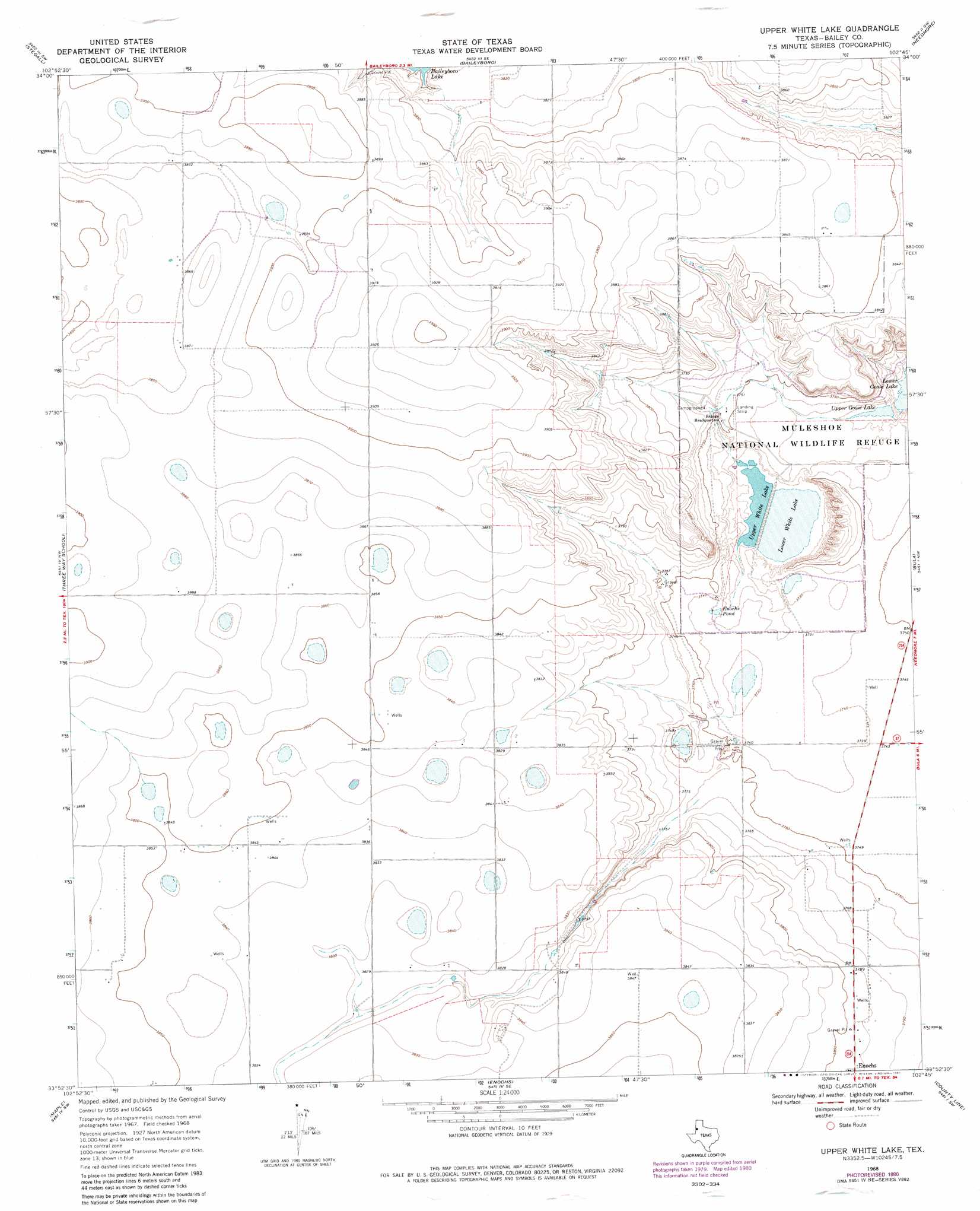
USGS Topo Quad 33102h7 - 1:24,000 scale
| Topo Map Name: | Upper White Lake |
| USGS Topo Quad ID: | 33102h7 |
| Print Size: | ca. 21 1/4" wide x 27" high |
| Southeast Coordinates: | 33.875° N latitude / 102.75° W longitude |
| Map Center Coordinates: | 33.9375° N latitude / 102.8125° W longitude |
| U.S. State: | TX |
| Filename: | o33102h7.jpg |
| Download Map JPG Image: | Upper White Lake topo map 1:24,000 scale |
| Map Type: | Topographic |
| Topo Series: | 7.5´ |
| Map Scale: | 1:24,000 |
| Source of Map Images: | United States Geological Survey (USGS) |
| Alternate Map Versions: |
Upper White Lake TX 1968, updated 1971 Download PDF Buy paper map Upper White Lake TX 1968, updated 1981 Download PDF Buy paper map Upper White Lake TX 1968, updated 1981 Download PDF Buy paper map Upper White Lake TX 2010 Download PDF Buy paper map Upper White Lake TX 2012 Download PDF Buy paper map Upper White Lake TX 2016 Download PDF Buy paper map |
1:24,000 Topo Quads surrounding Upper White Lake
Arch Ne |
Birdwell Ranch |
Baileyboro Ne |
Muleshoe |
Muleshoe Ne |
Golden Ranch |
Stegall |
Baileyboro |
Needmore |
Sudan |
Causey East |
Three Way School |
Upper White Lake |
Bula |
Beck |
Lingo |
Maple |
Enochs |
County Line |
Pep |
Bledsoe Ne |
Morton Nw |
Morton |
Whiteface Nw |
Pettit |
> Back to 33102e1 at 1:100,000 scale
> Back to 33102a1 at 1:250,000 scale
> Back to U.S. Topo Maps home
Upper White Lake topo map: Gazetteer
Upper White Lake: Dams
Jack Young Dam elevation 1165m 3822′Upper White Lake: Reservoirs
Enochs Pond elevation 1137m 3730′Jack Young Lake elevation 1165m 3822′
Lower White Lake elevation 1130m 3707′
Upper Goose Lake elevation 1134m 3720′
Upper White Lake elevation 1131m 3710′
Upper White Lake digital topo map on disk
Buy this Upper White Lake topo map showing relief, roads, GPS coordinates and other geographical features, as a high-resolution digital map file on DVD: