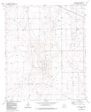
Soldier Hill Topo Map New Mexico
To zoom in, hover over the map of Soldier Hill
USGS Topo Quad 33103c6 - 1:24,000 scale
| Topo Map Name: | Soldier Hill |
| USGS Topo Quad ID: | 33103c6 |
| Print Size: | ca. 21 1/4" wide x 27" high |
| Southeast Coordinates: | 33.25° N latitude / 103.625° W longitude |
| Map Center Coordinates: | 33.3125° N latitude / 103.6875° W longitude |
| U.S. State: | NM |
| Filename: | o33103c6.jpg |
| Download Map JPG Image: | Soldier Hill topo map 1:24,000 scale |
| Map Type: | Topographic |
| Topo Series: | 7.5´ |
| Map Scale: | 1:24,000 |
| Source of Map Images: | United States Geological Survey (USGS) |
| Alternate Map Versions: |
Soldier Hill NM 1973, updated 1976 Download PDF Buy paper map Soldier Hill NM 1973, updated 1985 Download PDF Buy paper map Soldier Hill NM 2010 Download PDF Buy paper map Soldier Hill NM 2013 Download PDF Buy paper map Soldier Hill NM 2017 Download PDF Buy paper map |
1:24,000 Topo Quads surrounding Soldier Hill
> Back to 33103a1 at 1:100,000 scale
> Back to 33102a1 at 1:250,000 scale
> Back to U.S. Topo Maps home
Soldier Hill topo map: Gazetteer
Soldier Hill: Oilfields
Caprock East Oil Field elevation 1325m 4347′Caprock North Oil Field elevation 1332m 4370′
Moore Oil Field elevation 1319m 4327′
Soldier Hill: Summits
Soldier Hill elevation 1348m 4422′Soldier Hill: Wells
05006 Water Well elevation 1320m 4330′05007 Water Well elevation 1322m 4337′
05008 Water Well elevation 1320m 4330′
05009 Water Well elevation 1316m 4317′
05010 Water Well elevation 1316m 4317′
05011 Water Well elevation 1317m 4320′
05012 Water Well elevation 1317m 4320′
05013 Water Well elevation 1316m 4317′
05014 Water Well elevation 1315m 4314′
05015 Water Well elevation 1331m 4366′
10001 Water Well elevation 1318m 4324′
10006 Water Well elevation 1345m 4412′
10651 Water Well elevation 1319m 4327′
10652 Water Well elevation 1329m 4360′
10653 Water Well elevation 1333m 4373′
10655 Water Well elevation 1340m 4396′
10656 Water Well elevation 1334m 4376′
10657 Water Well elevation 1317m 4320′
10658 Water Well elevation 1317m 4320′
10659 Water Well elevation 1331m 4366′
10660 Water Well elevation 1338m 4389′
10661 Water Well elevation 1348m 4422′
10662 Water Well elevation 1342m 4402′
10663 Water Well elevation 1321m 4333′
10673 Water Well elevation 1311m 4301′
10674 Water Well elevation 1316m 4317′
10681 Water Well elevation 1316m 4317′
10682 Water Well elevation 1311m 4301′
10683 Water Well elevation 1305m 4281′
10725 Water Well elevation 1327m 4353′
10726 Water Well elevation 1339m 4393′
10727 Water Well elevation 1315m 4314′
10737 Water Well elevation 1313m 4307′
11264 Water Well elevation 1314m 4311′
11266 Water Well elevation 1309m 4294′
12643 Water Well elevation 1340m 4396′
12644 Water Well elevation 1337m 4386′
12645 Water Well elevation 1338m 4389′
12646 Water Well elevation 1342m 4402′
13050 Water Well elevation 1317m 4320′
13051 Water Well elevation 1316m 4317′
13056 Water Well elevation 1316m 4317′
13057 Water Well elevation 1312m 4304′
13059 Water Well elevation 1306m 4284′
13154 Water Well elevation 1321m 4333′
13188 Water Well elevation 1321m 4333′
13189 Water Well elevation 1320m 4330′
13190 Water Well elevation 1320m 4330′
13191 Water Well elevation 1314m 4311′
13193 Water Well elevation 1319m 4327′
13379 Water Well elevation 1332m 4370′
13381 Water Well elevation 1320m 4330′
13382 Water Well elevation 1321m 4333′
13383 Water Well elevation 1322m 4337′
13384 Water Well elevation 1317m 4320′
13534 Water Well elevation 1310m 4297′
13657 Water Well elevation 1341m 4399′
Soldier Hill digital topo map on disk
Buy this Soldier Hill topo map showing relief, roads, GPS coordinates and other geographical features, as a high-resolution digital map file on DVD:


